")
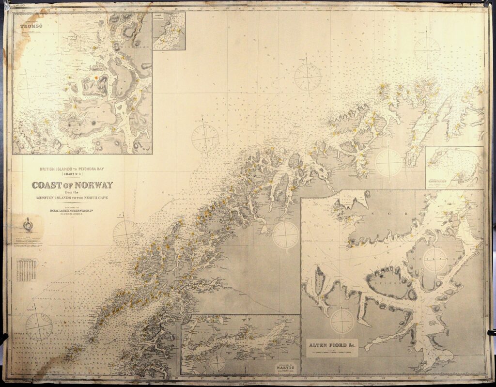
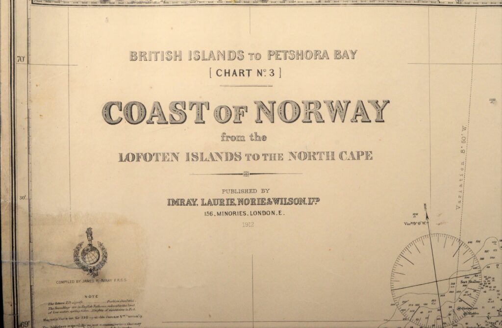
Imray Blueback 103-B: The Coast of Norway – The Lofoten Islands to the North Cape – 1912
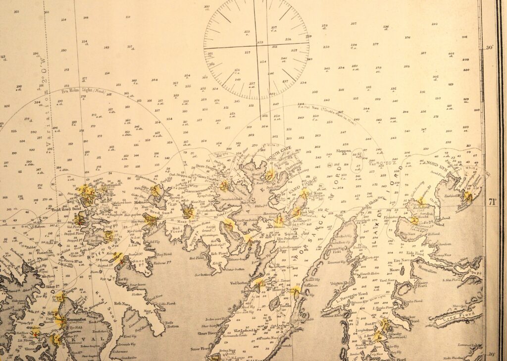
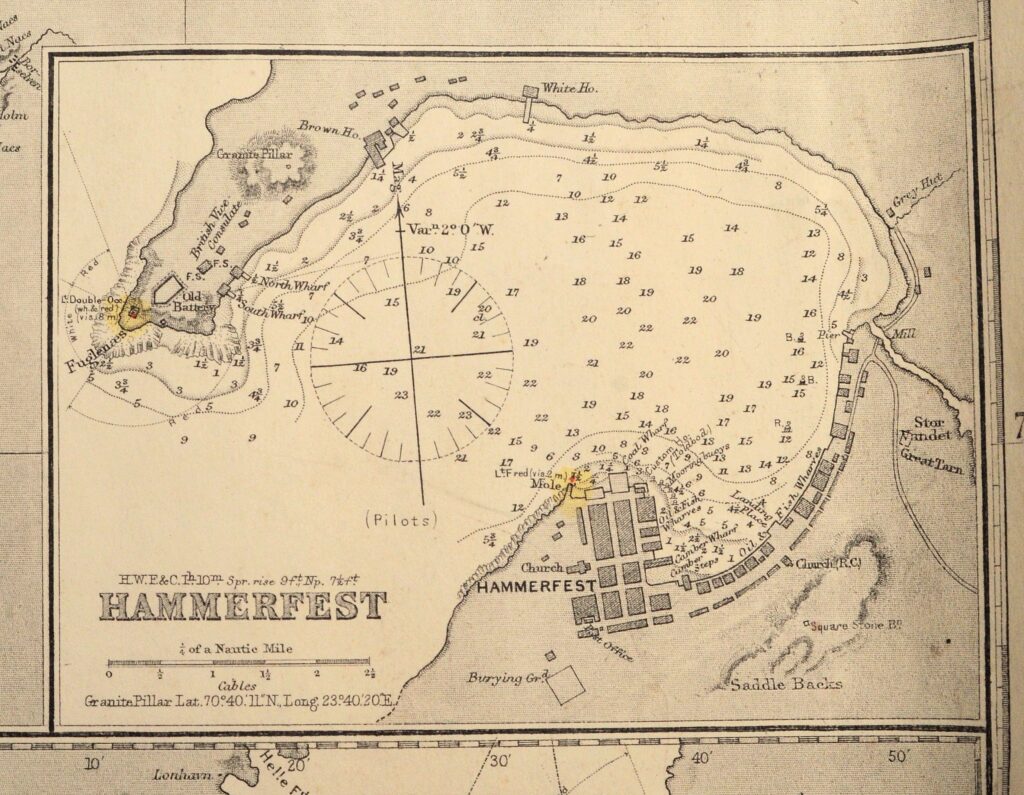
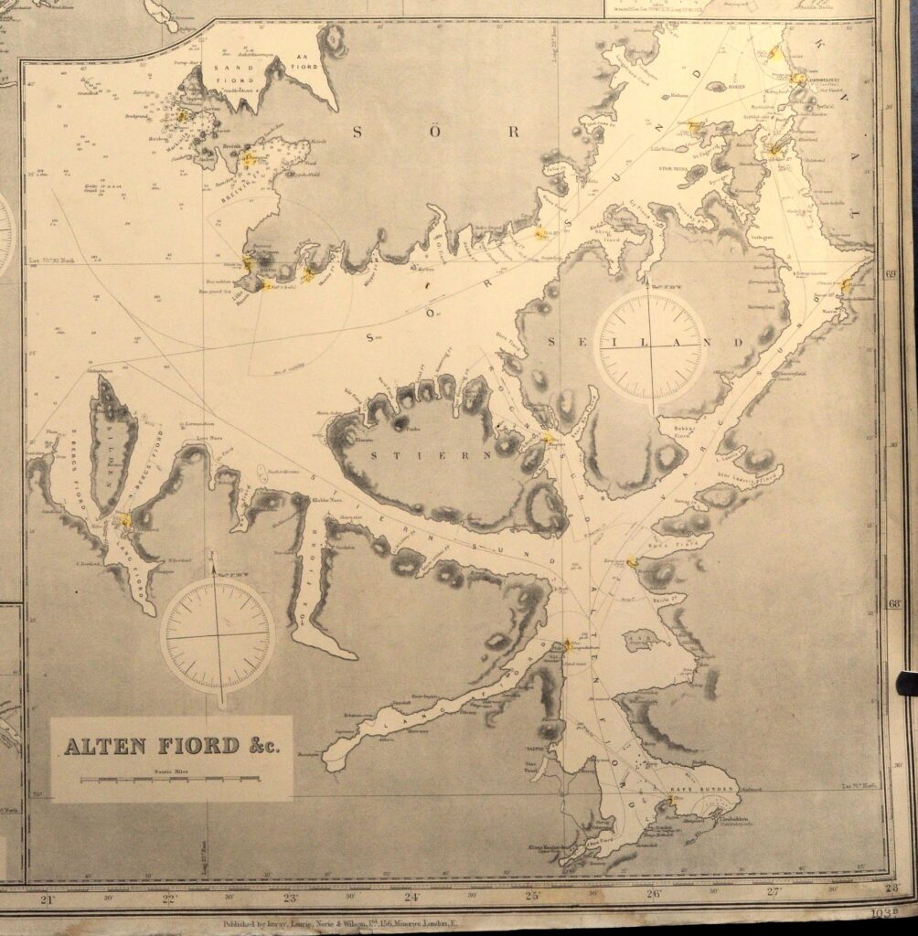
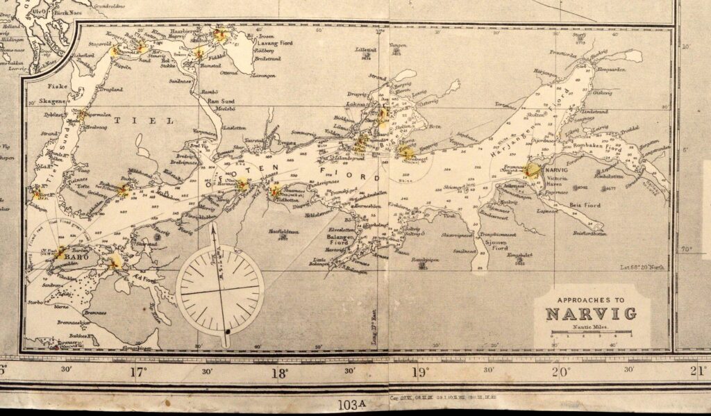
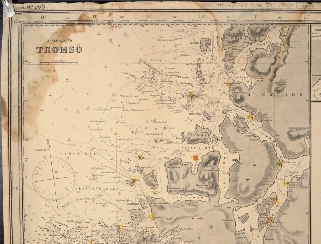
Large and striking sea chart of the coast of Norway with the North Cape, made by the legendary sea chart makers James Imray and Son. The chart shows collored details about the lights in Norway and save routes tot he ports. It includes detail charts of the approaches to Tromsö, Narvig and Hammerfest of around 1900.
The chart is overall in good condition. The edges have a few small defects. On the left side, at 69.15 degrees, a tear has been repaired. Overall the chart is in good condition. This blue back would frame wonderfully.
Catalog: BK.1-30
Published: 1912
Signed: Imray, Laurie, Norie and Wilson, 156 Minories, London
Dimensions: ca. 110 x 140 cm
Condition: VG+, some staining on the right side