")
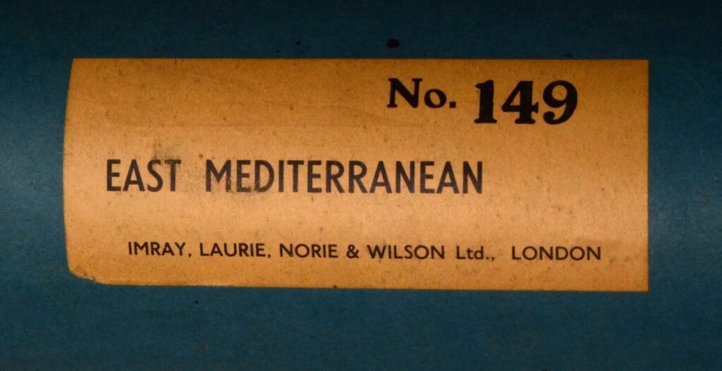
Imray Blueback 149, East Mediterranean Sea – 1921
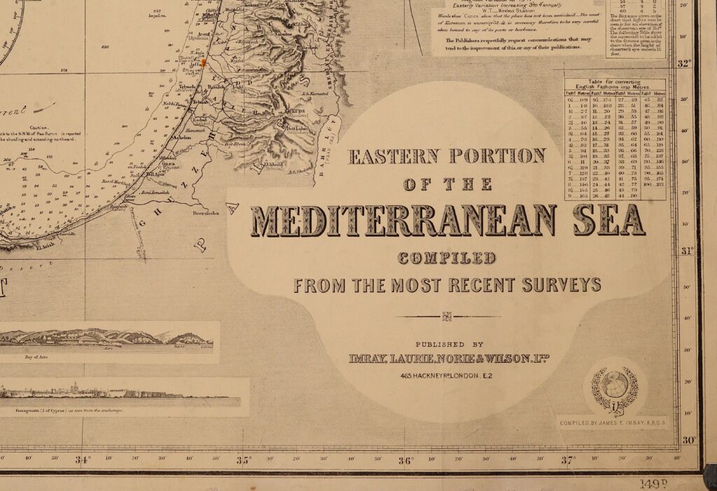
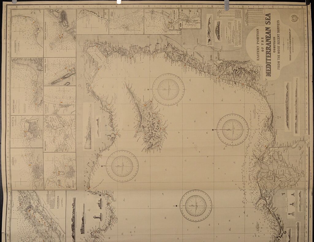
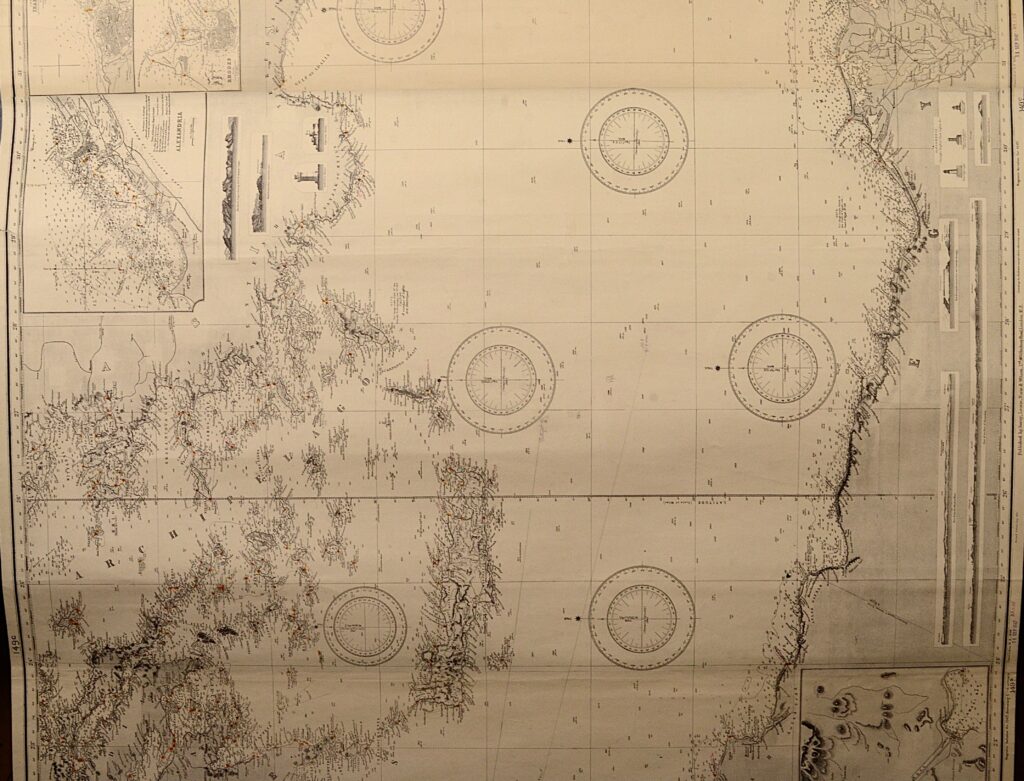
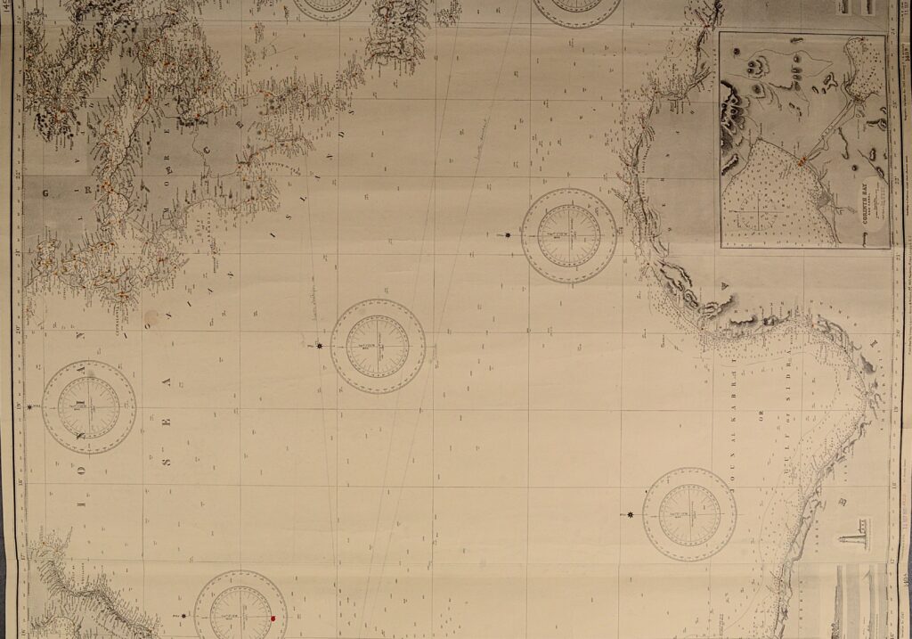
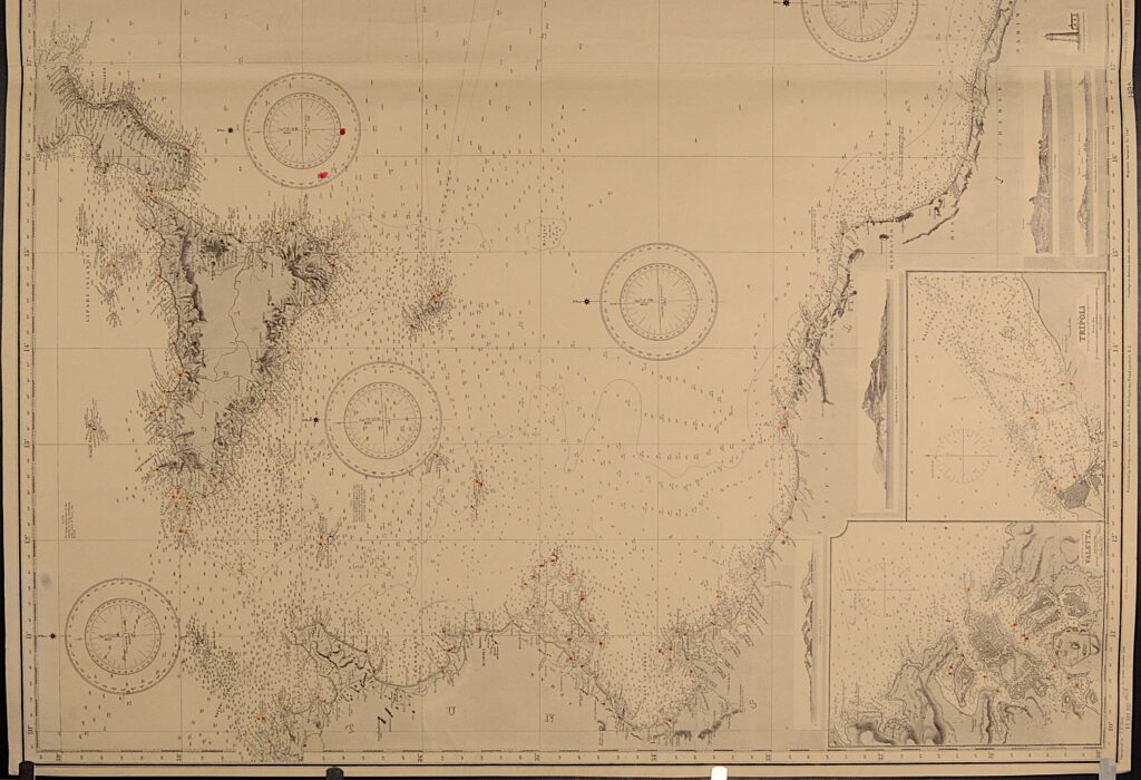
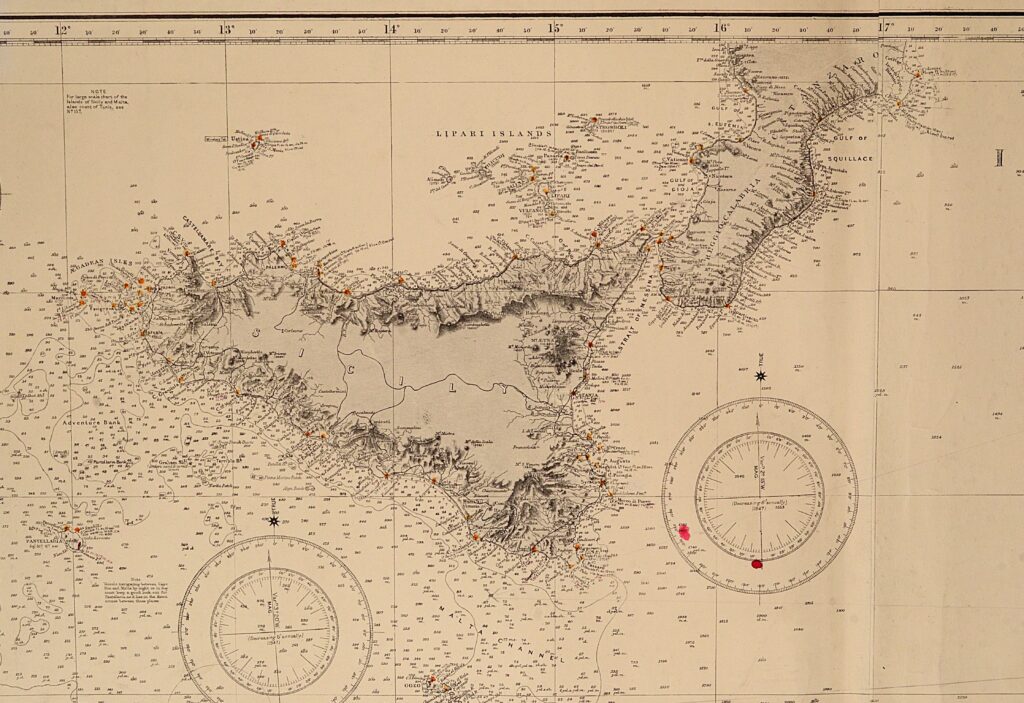
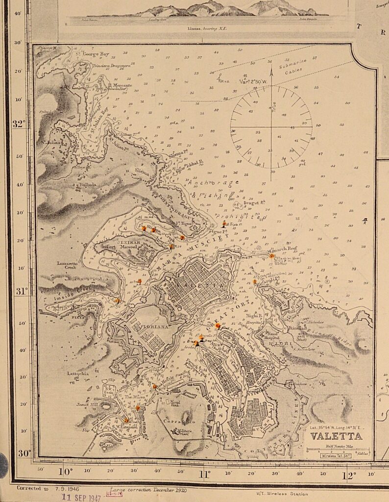
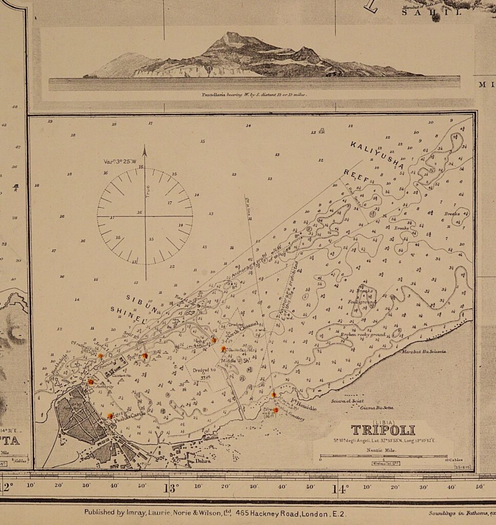
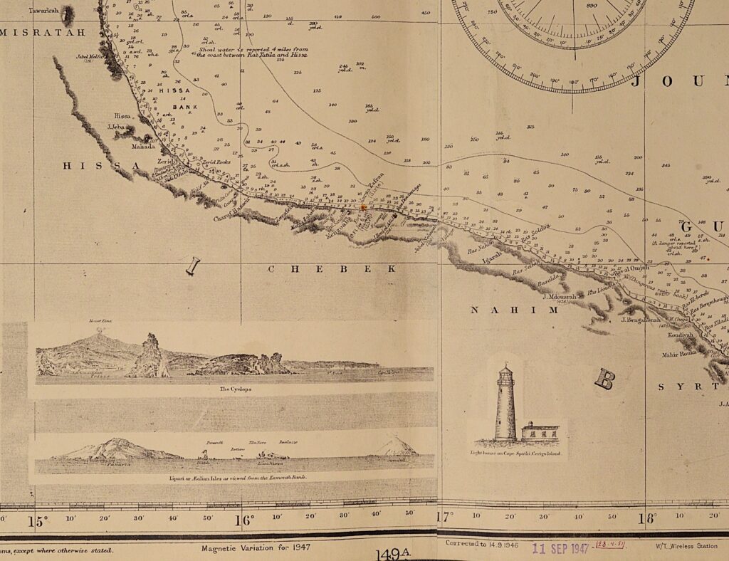
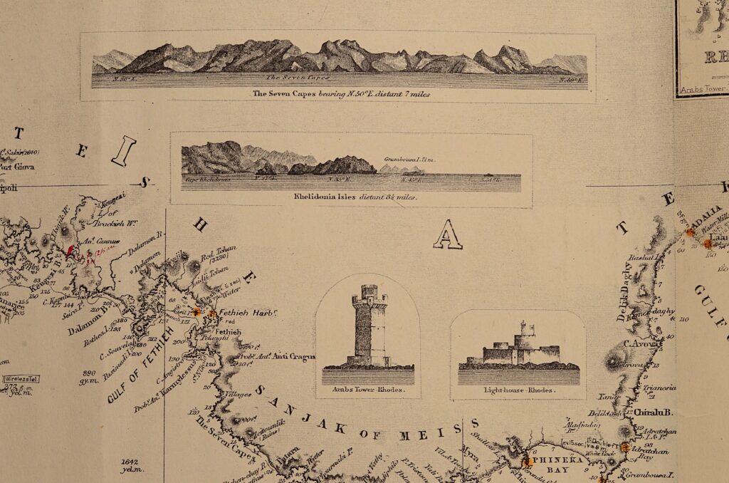
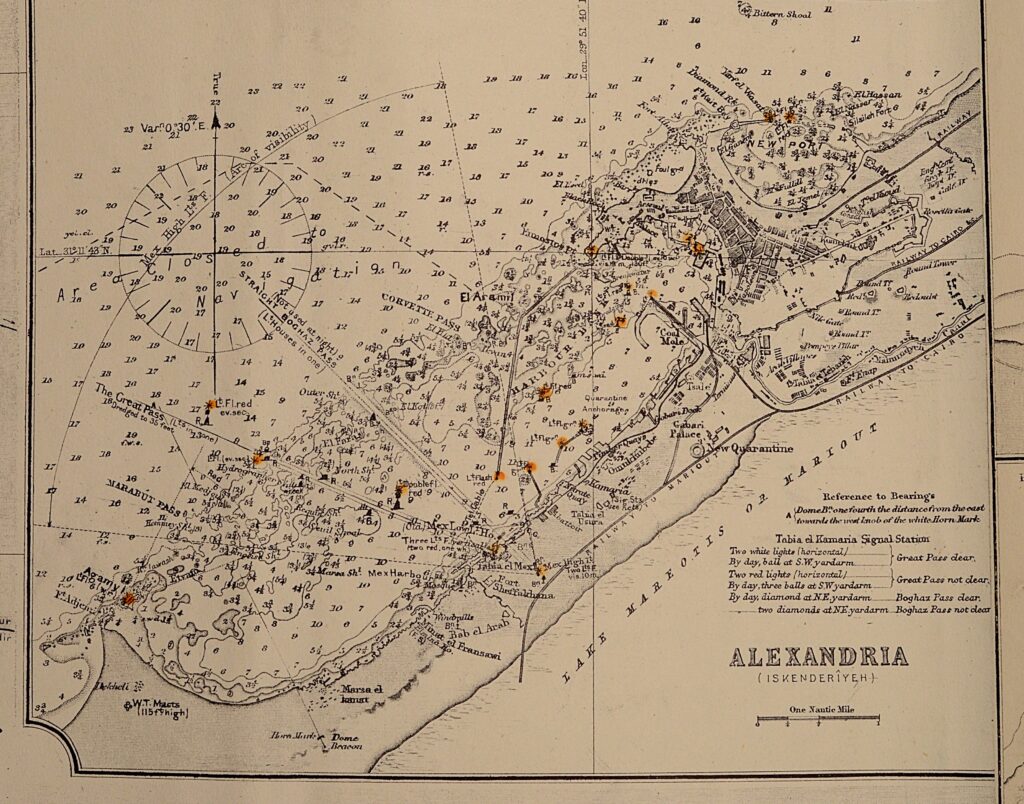
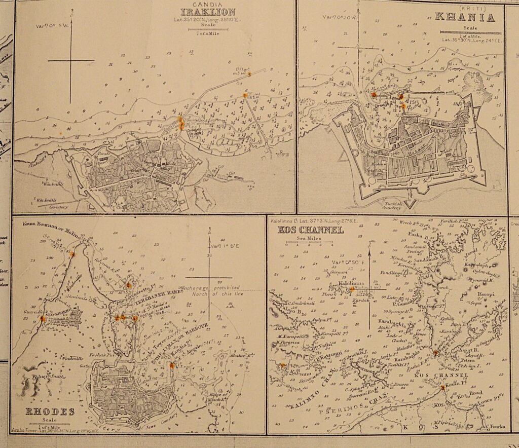
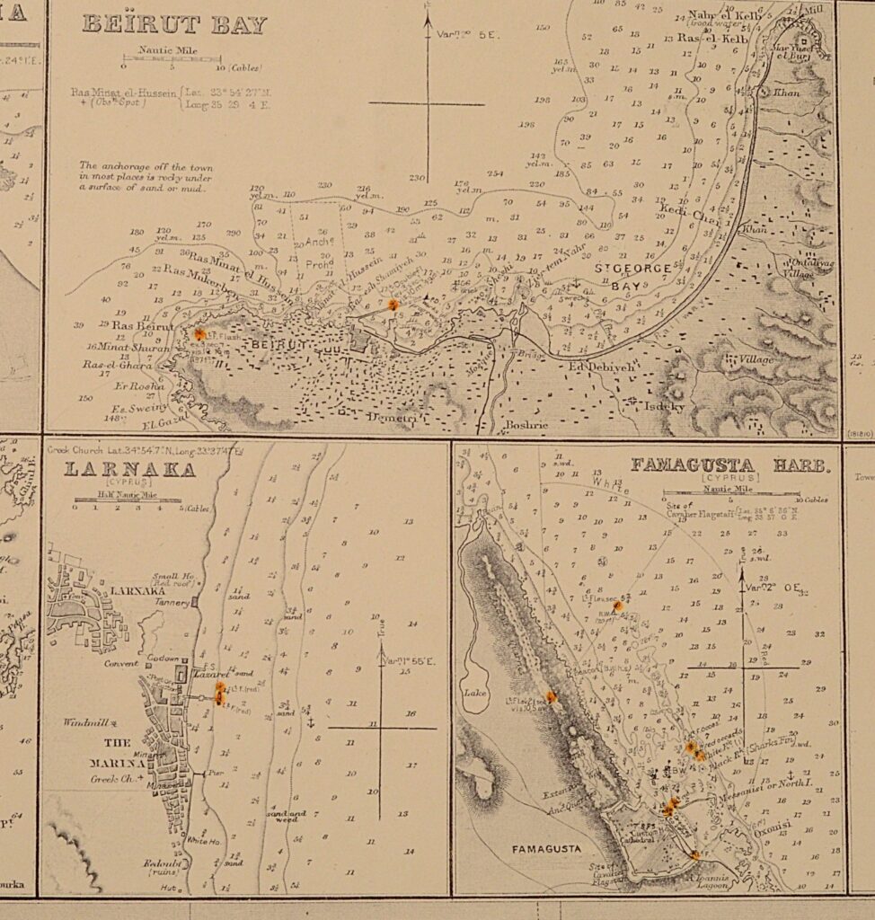
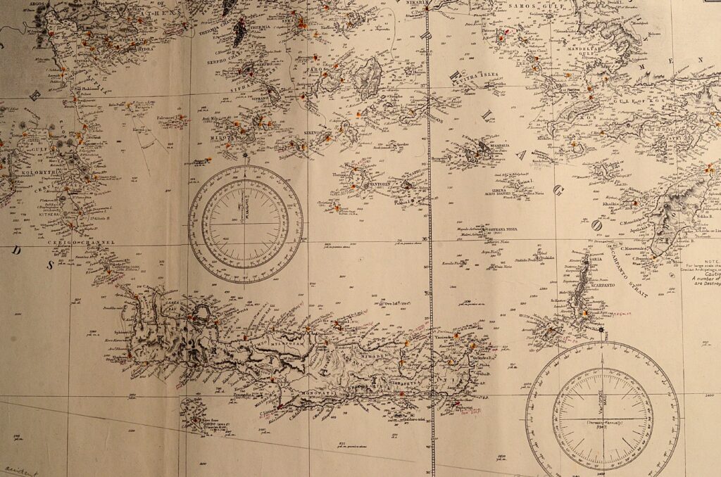
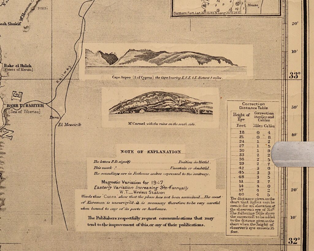
Very large (2.50 meter wide) and striking sea chart of the eastern part of the Mediterranean Sea made by the legendary sea chart makers Imray and Co. Charts of this format were used as cross over chart to determine courses for long journeys. The chart includes the coasts of Palestine with mount Carmel and shows wonderful land views and a lot of small scale maps. The chart is very detailed. The countries are shown in the situation around 1900. The chart is overall in good condition. This blue back would frame wonderfully.
Catalog: BK.1-36
Published: revised edition july 1921
Signed: Imray, Laurie, Norie and Wilson, 156 Minories, London – 149ABCD
Dimensions: ca. 105 x 250 cm
Condition: VG+