")
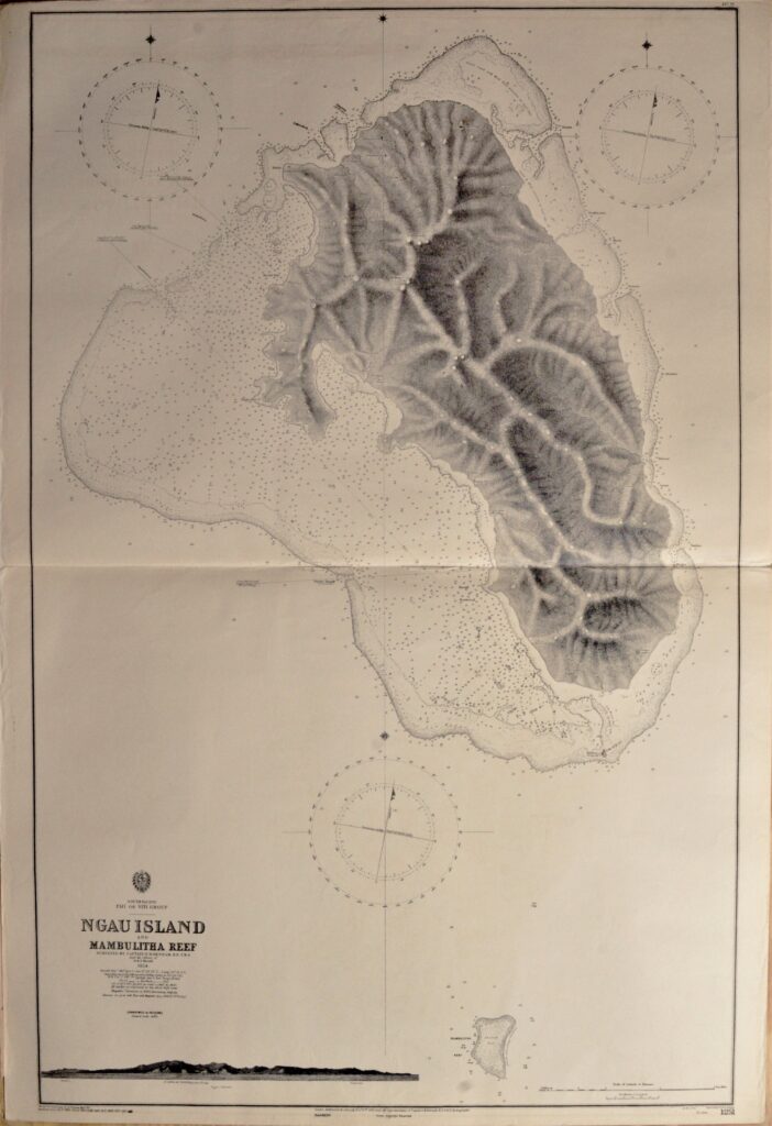

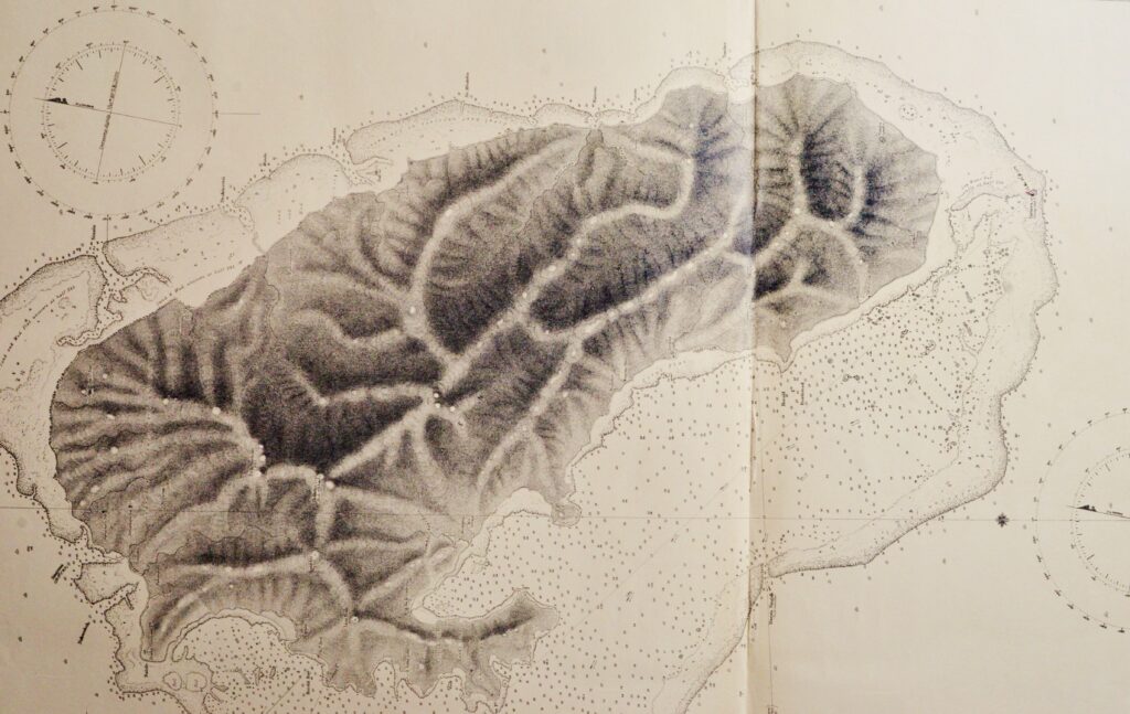
Fiji Islands – Ngau Island, South Pacific – British Admiralty Chart 1251, published in 1866
Detailed, unused and early chart of Ngau Island with beatiful view at the island. The first surveys are from 1854 by Captain H.M. Den Ham. Authentic, very detailed sea chart, no modern copy. On thick paper, not folded, suitable for framing. Nice, fresh specimen.
In our chartroom are to find hundreds of British Admiralty sea charts.
Fathom charts, issued before WWII, world wide. All in good condition, many unused.
Ask for the actual availability list.
Catalog: AC-1251
Published: 1866
Edition: 1rst
Dimensions: 52×71 cm
Condition: VG++, unused
Verso: clean, label with title, stamps with correction data