
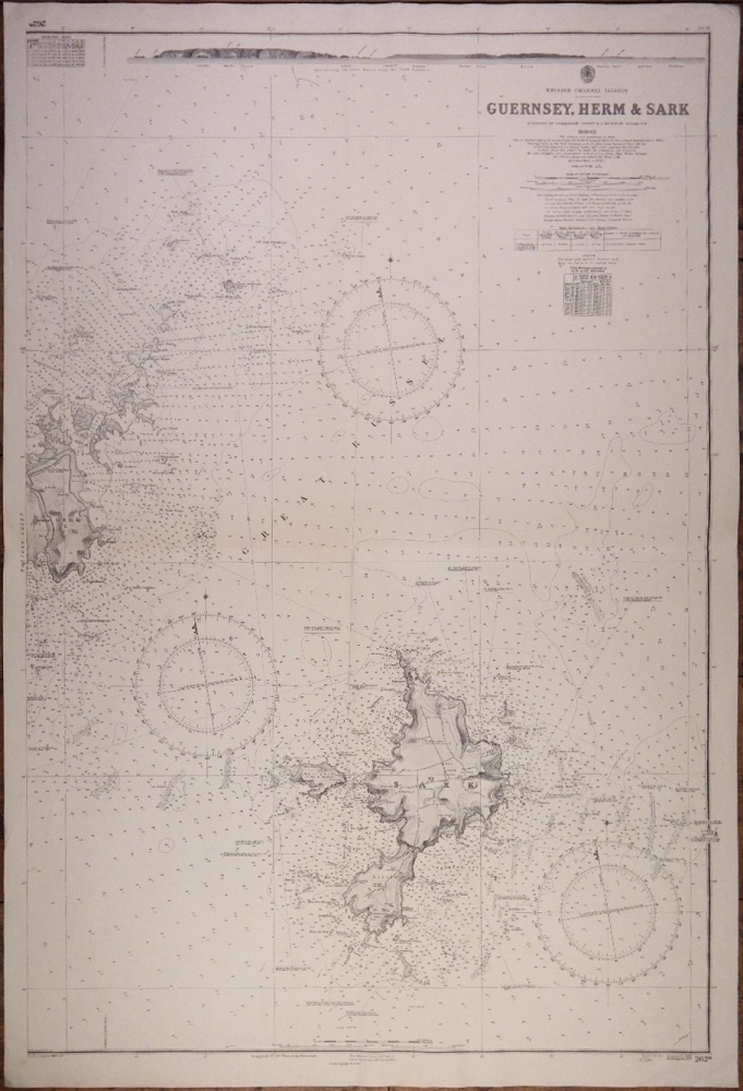
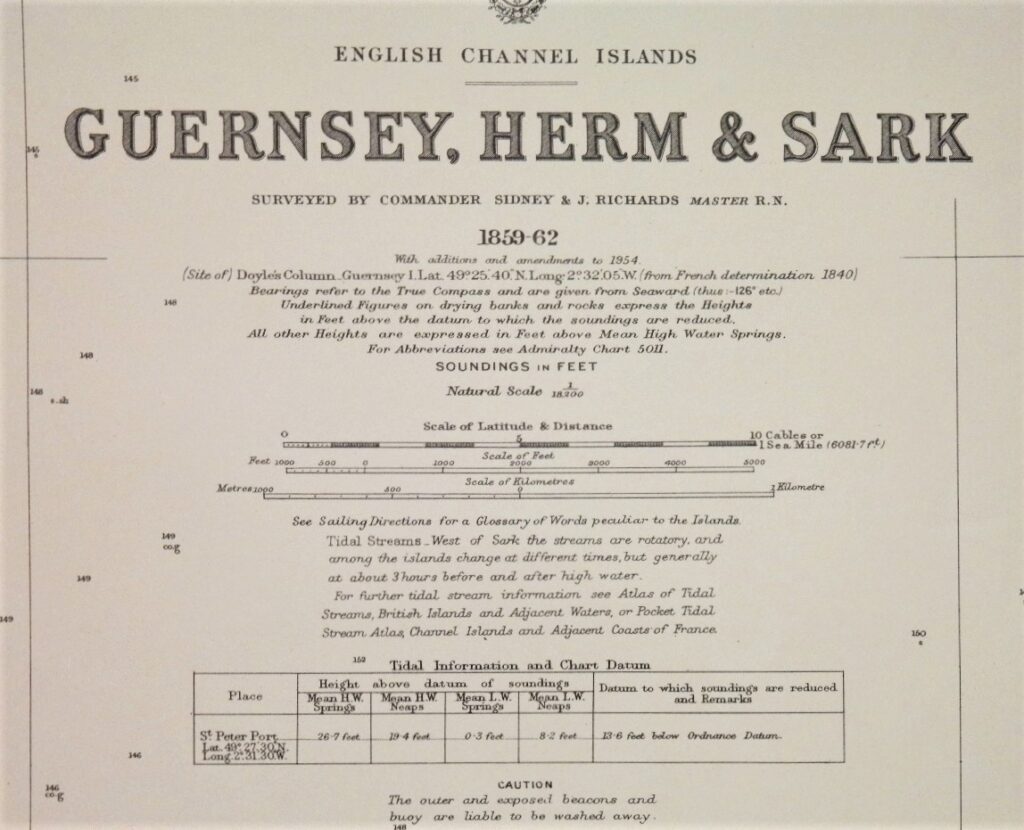
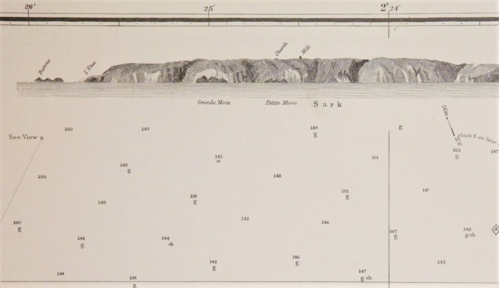
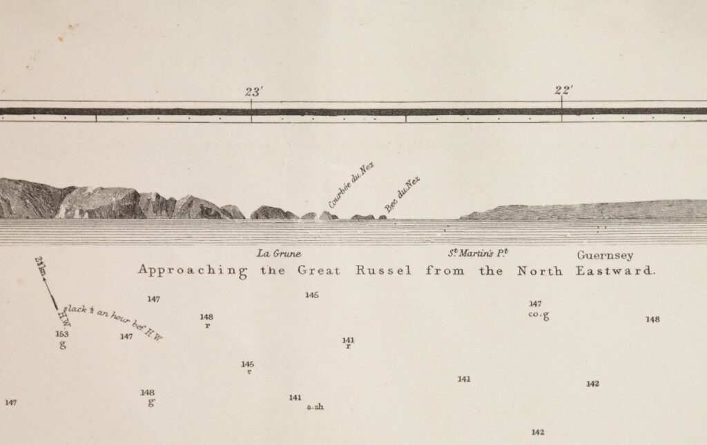
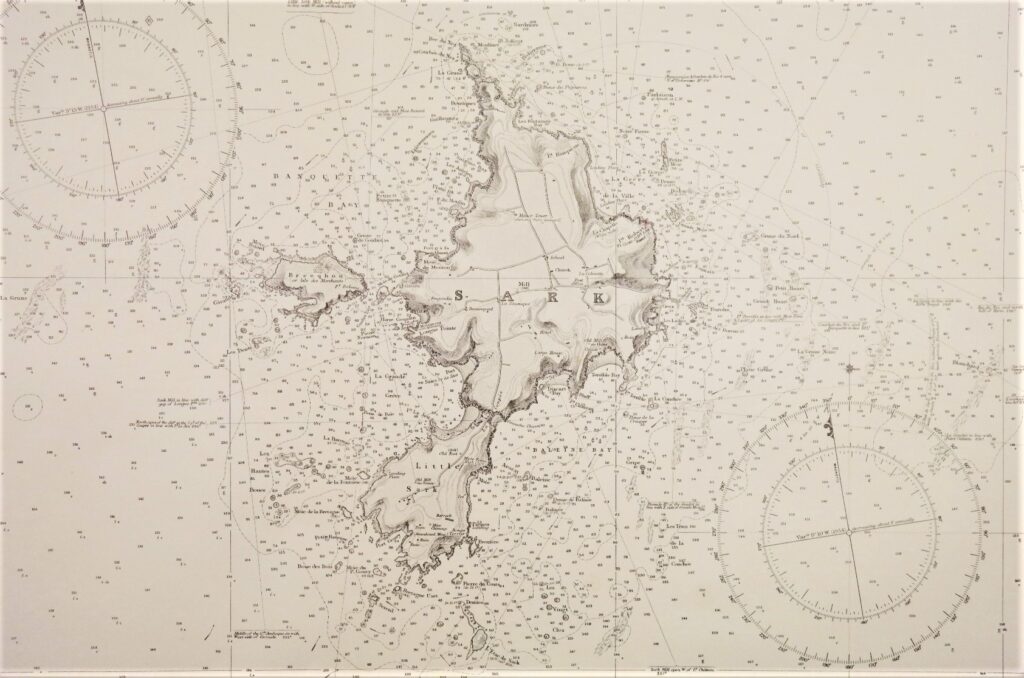
Guernsey, Herm & Sark – the English Channel Islands – British Admiralty Chart 262a, published 1862.
Authentic chart with land views, sailing directions, tidal information and so on.
Catalog: AC-262a
Surveyed from 1859 -1862
Engraved in 1863
Additions and corrections to 1954
Dimensions: standard 71×104 cm (28×41”)
Condition: VG
In our chart room are to find hundreds of Admiralty fathom charts from before WWII. World wide, all in good condition, many unused.
Ask for the availability list.