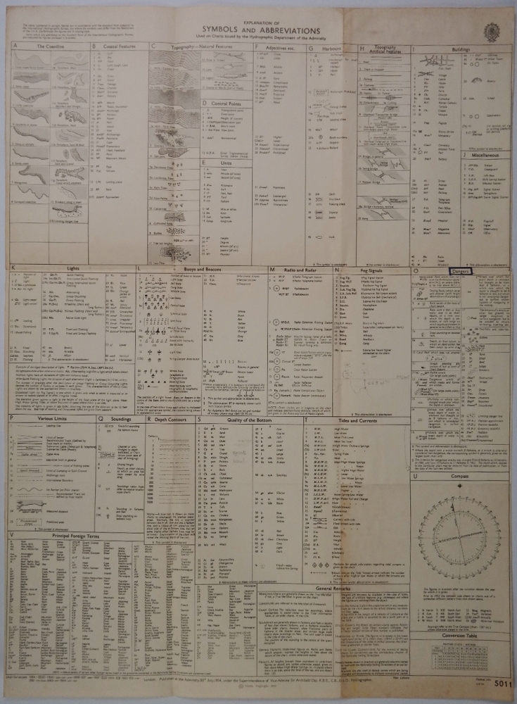

Symbols and Abbreviations Brittish Admiralty Chart 5011, published in 1954
Authentic map of 1954 with small corrections untill 1964.
Catalog: BK.1-12
Dimensions: 45×61 cm (17,8×24”)
Condition: VG+, folded as issued

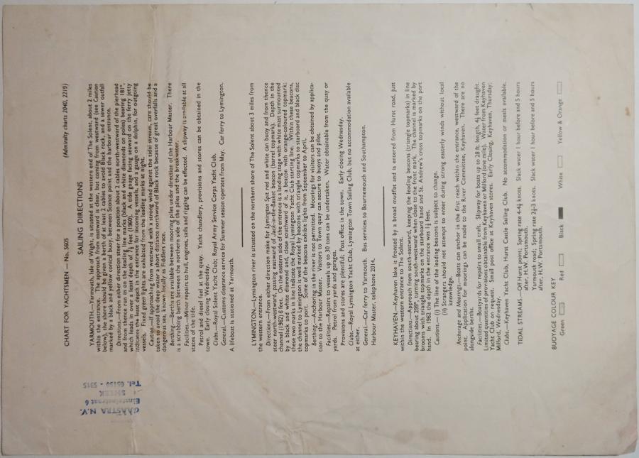
Symbols and Abbreviations Brittish Admiralty Chart 5011, published in 1954
Authentic map of 1954 with small corrections untill 1964.
Catalog: BK.1-12
Dimensions: 45×61 cm (17,8×24”)
Condition: VG+, folded as issued