")
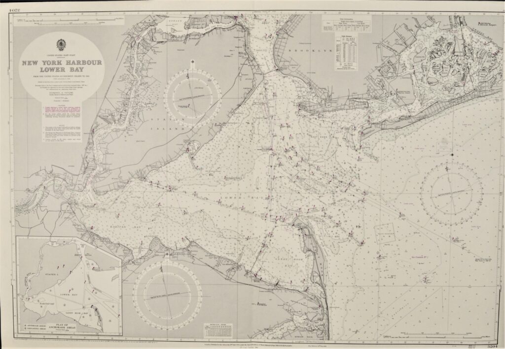

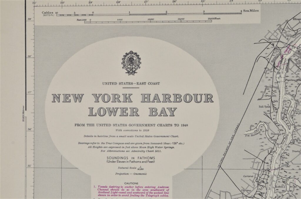
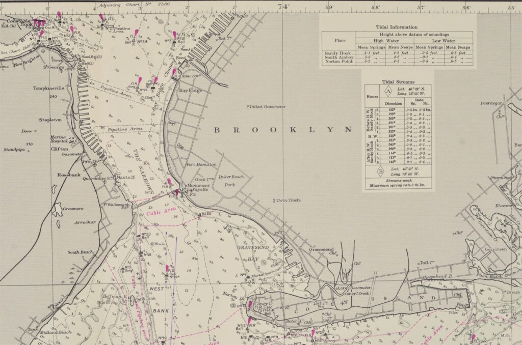
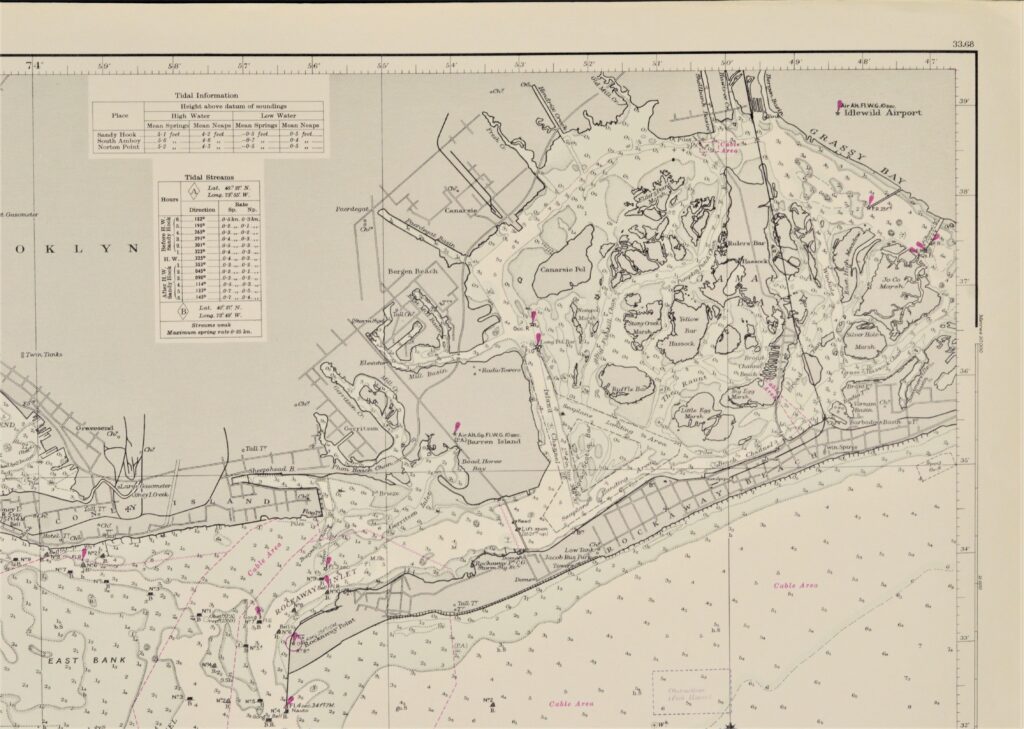
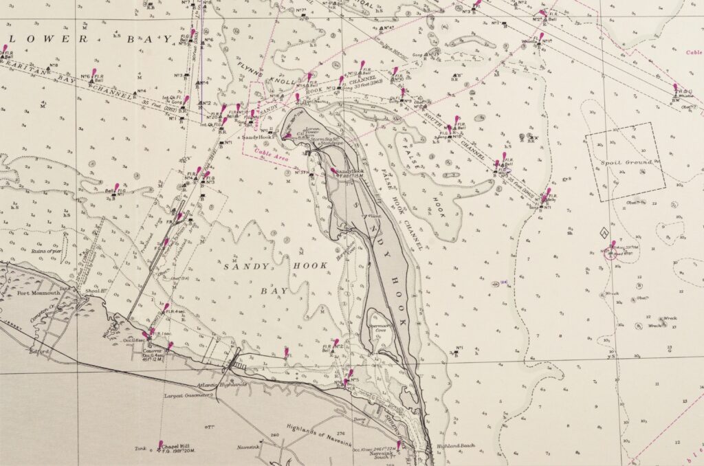
New York Harbour, Lower Bay, United States – British Admiralty Chart 3204, published 1950
Unused and very detailed sea chart of the entrance to the New York harbour and the Narrows. Authentic, small scale sea chart, no modern copy. On thick paper, folded as issued, suitable for framing. Together with 2580.
In our chartroom are to find hundreds of British Admiralty sea charts.
Fathom charts, issued before WWII, world wide. All in good condition, many unused.
Ask for the actual availability list.
Catalog: AC-3204
Published: 1950
Edition: 1959
Dimensions: standard 71×104 cm (28×41 in)
Condition: VG++, unused
Sold together with 2580