
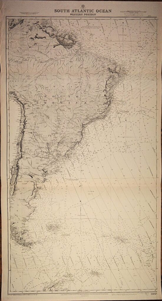
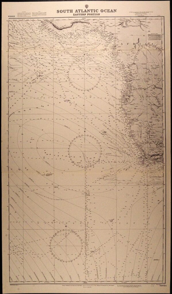
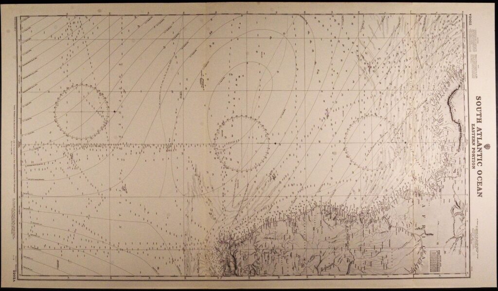
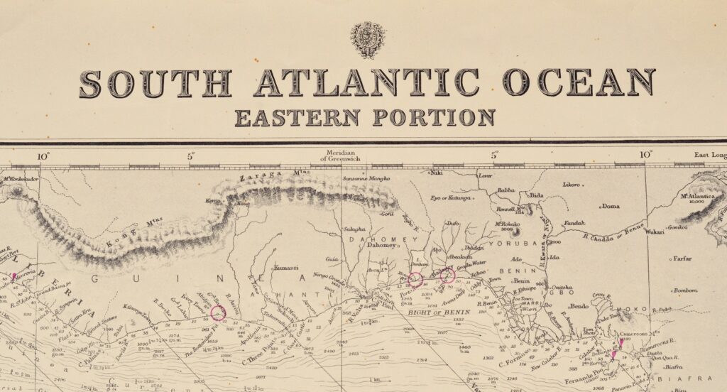
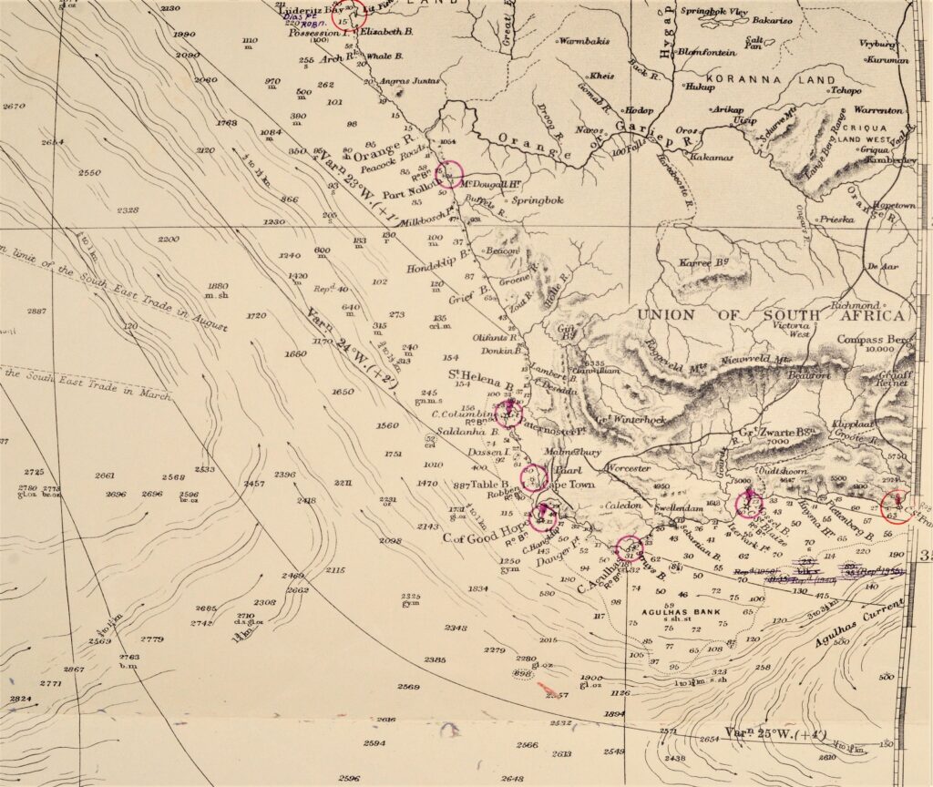
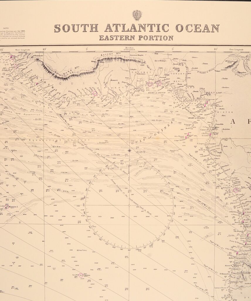
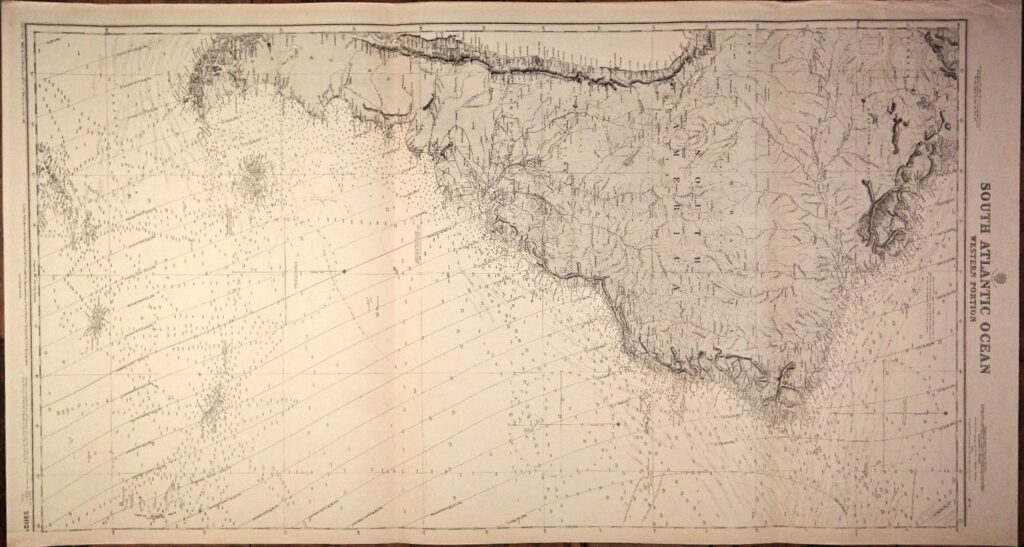
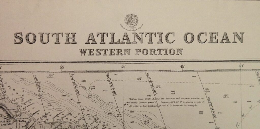
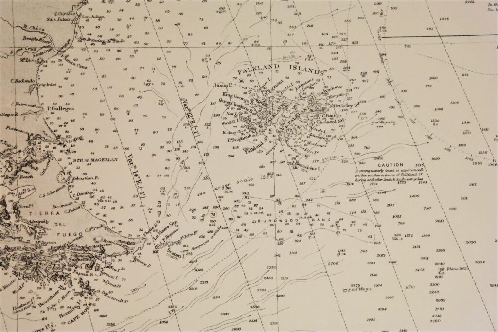
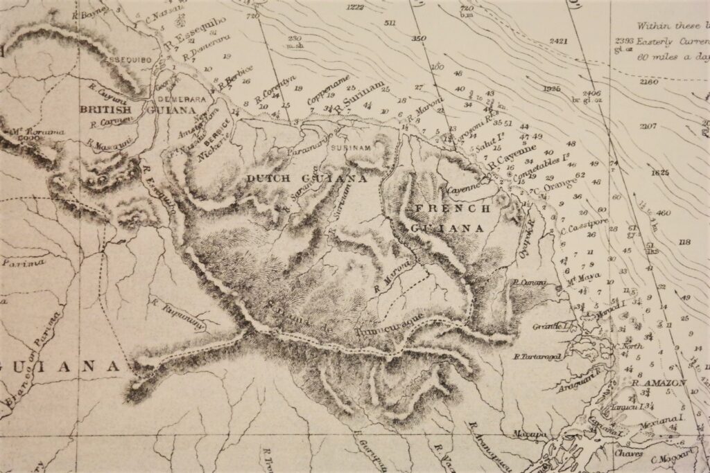
South Atlantic in 2 charts – British Admiralty Chart 2202A+B, published 1871
Two large, unused and sea charts of the South Atlantic. Original charts, no modern copy. On thick paper, folded as issued, suitable for framing. Nice, fresh specimen.
Published: 1871
Edition: 1930
Dimensions: large, 71×132 cm
Condition: VG++, unused
Verso: clean
In our chartroom are to find hundreds of British Admiralty sea charts.
Fathom charts, issued before WWII, world wide. All in good condition, many unused.