
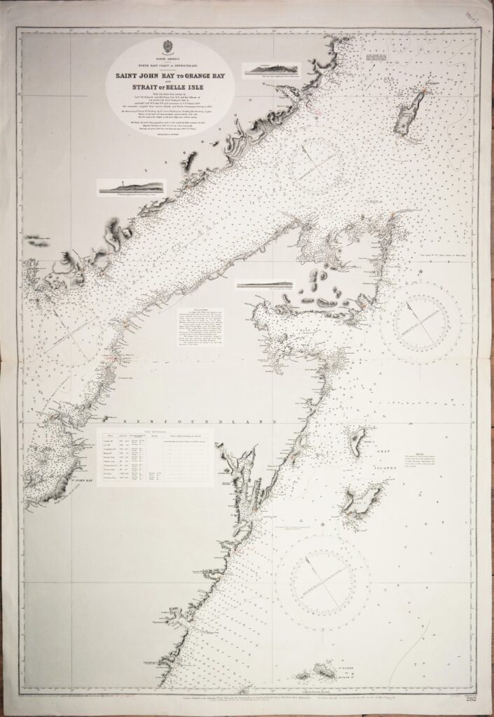
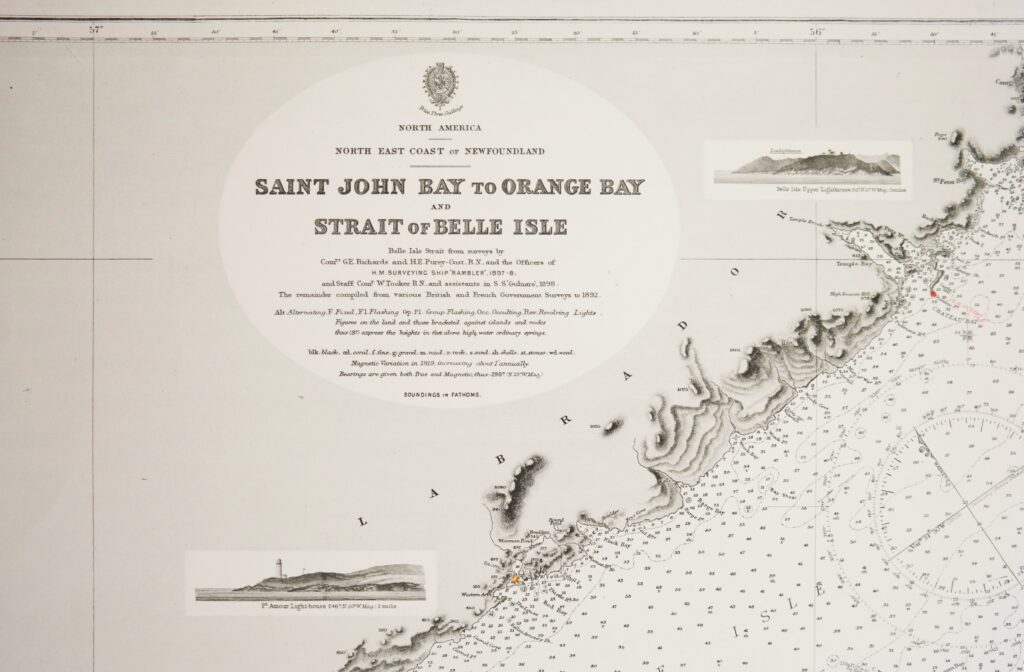
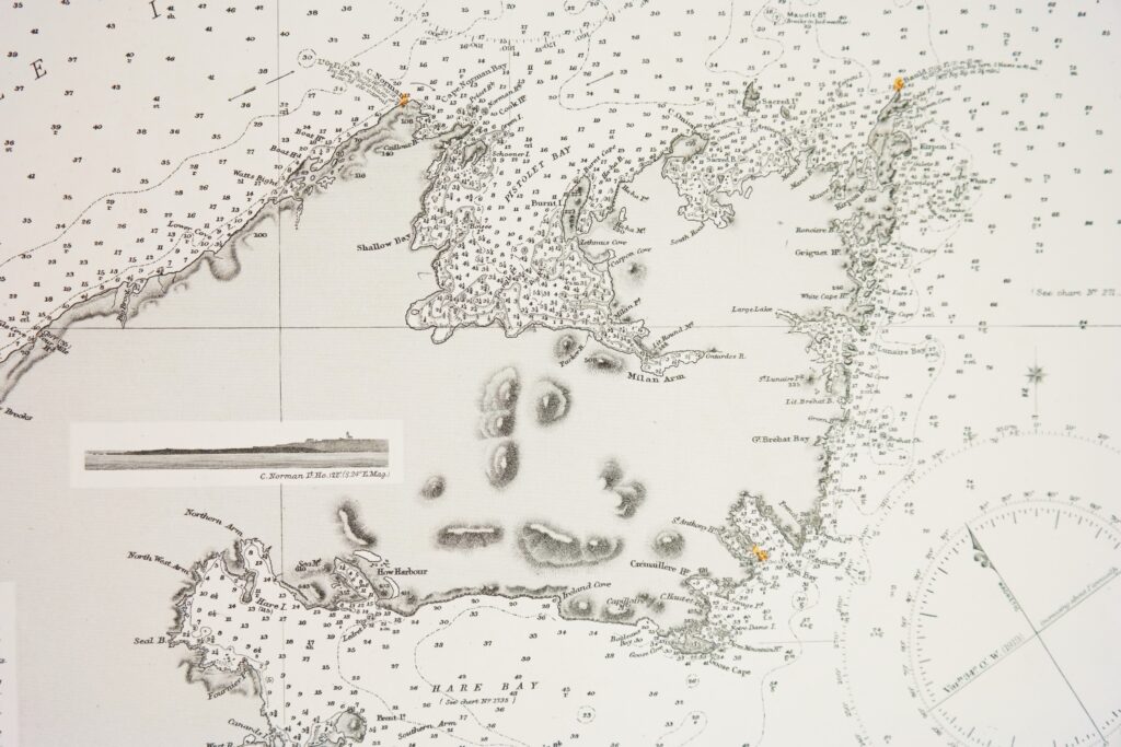
Newfoundland, North America – British Admiralty Chart 282, published 1882
Very detailed and authentic chart with landviews, sailing directions, tidal information and so on.
Catalog: AC-282
Surveyed from in 1897-1898
Engraved: 1882
Edition: 1913
Dimensions: standard Condition: VG+
In our chart room are to find hundreds of Admiralty fathom charts from before WWII. World wide, all in good condition, many unused.
Ask for the availability list.