
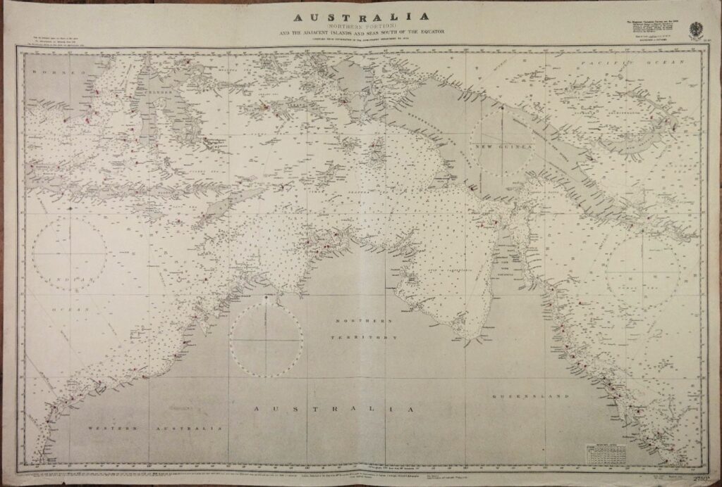
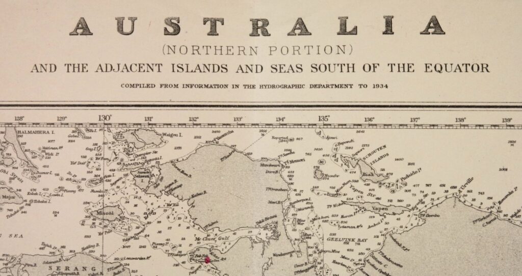
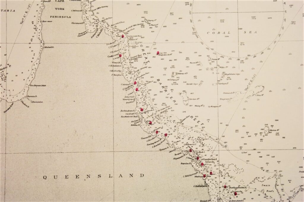
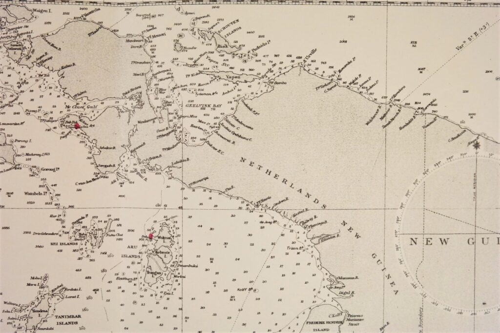
Australia, Northern Portion – British Admiralty Chart 2759a, published in 1934
Authentic chart published in 1934 with small corrections till 1947.
Northern Part of Australia with Netherlands New Guinea and the eastern part of the Dutch Indies.
In our chartroom are to find hundreds of British Admiralty sea charts.
Fathom charts, issued before WWII, world wide. All in good condition, many unused.
Ask for the actual availability list.
Catalog: AC-2759a
Published: 1934
Edition: 1947
Standard dimensions: 71×104 cm (28×41 in)
Condition: VG, used, inconspicuous defects