
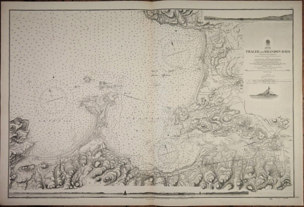
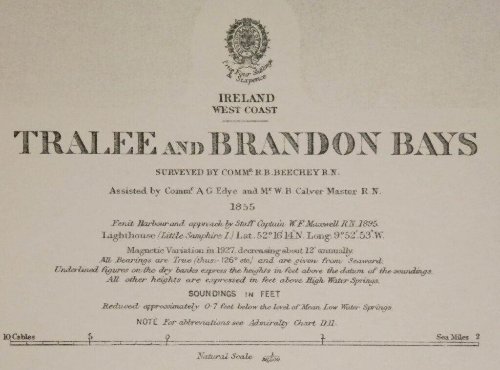
Ireland West Coast, Tralee and Brandon Bays – British Admiralty Chart 2739, published in 1855
Authentic chart first published in 1860. With small corrections till 1951.
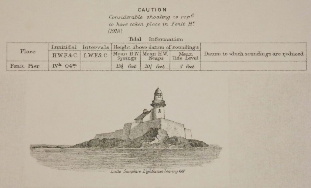
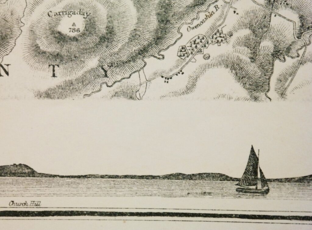
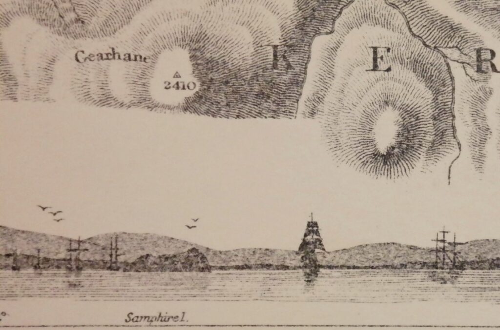
Chart with beautiful details. Sailing ships, land views, ligthhouses, tidal information and so on.
In our chartroom are to find hundreds of British Admiralty sea charts.
Fathom charts, issued before WWII, world wide. All in good condition, many unused.
Ask for the actual availability list.
Catalog: AC-2739
Published: 1855
Edition: 1951
Standard dimensions: 71×104 cm (28×41 in)
Condition: VG, used, inconspicuous defects