")
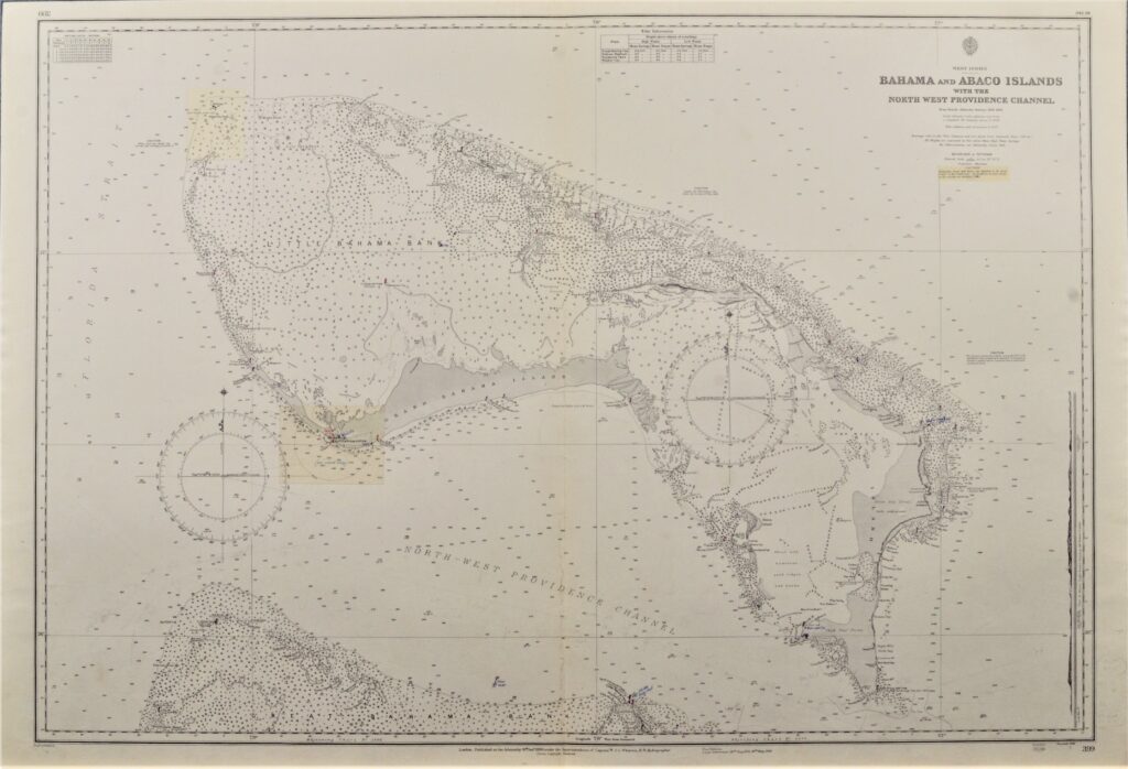
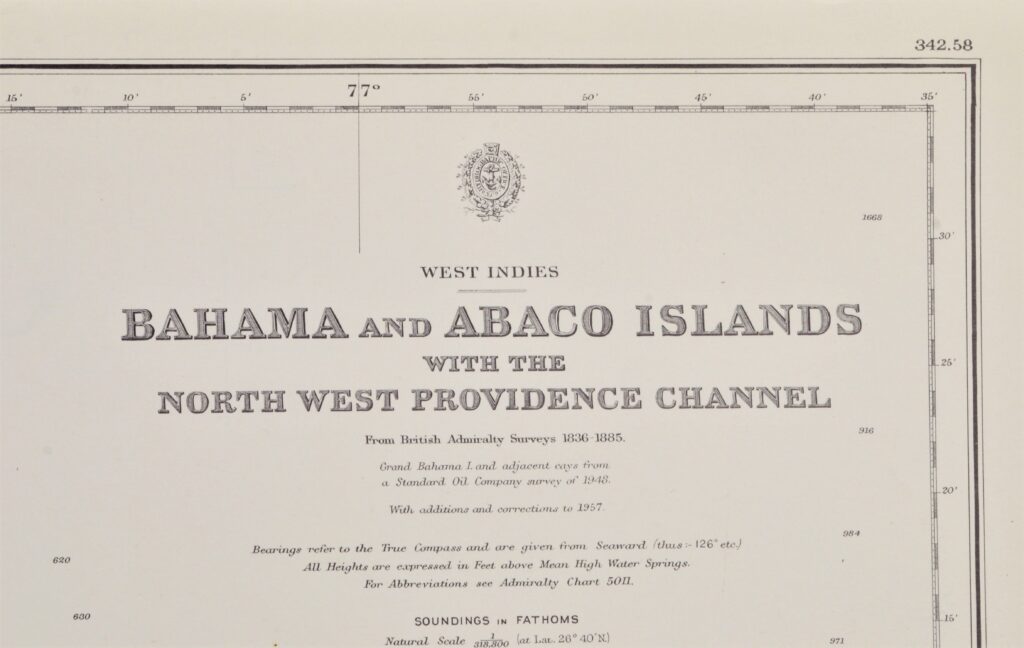
Bahama’s, West Indies – British Admiralty Chart 399, published 1886
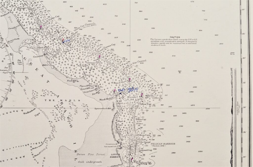
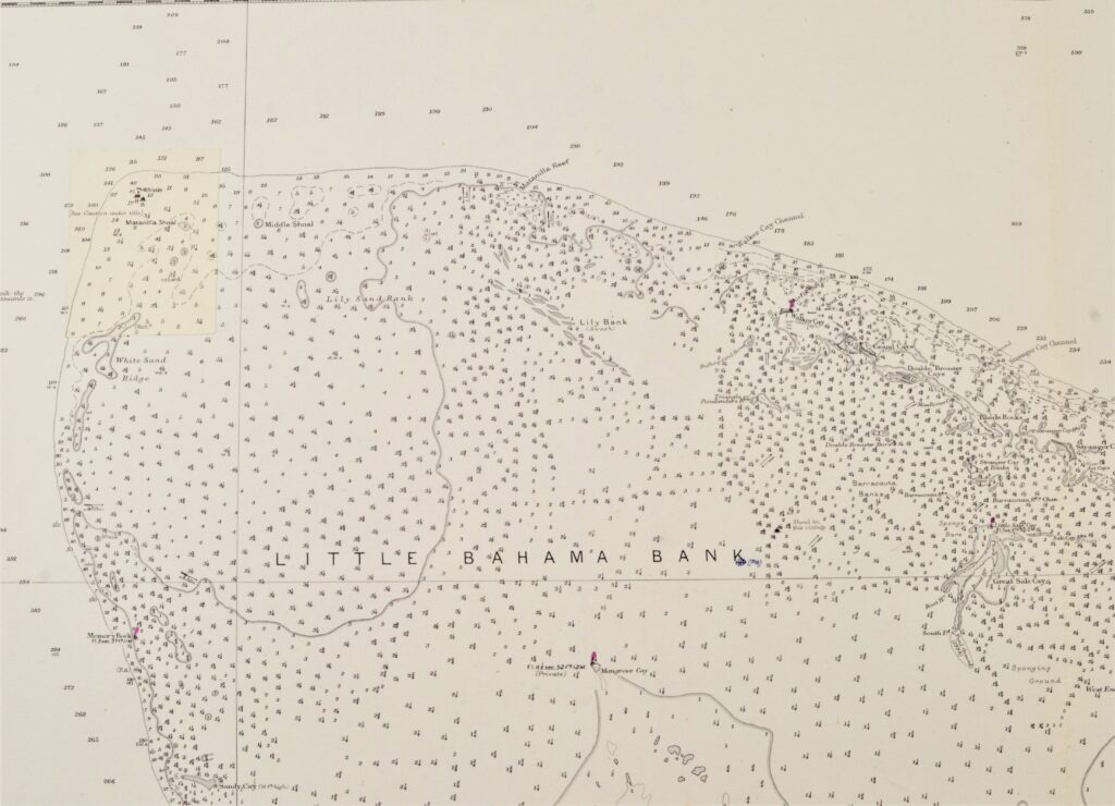
Hardly used, detailed sea chart of the Bahama’s and Abaco Islands. With beautiful engraved view of the Abaco light-house. The first surveys dates from 1835. Tidal information is mentioned for the most important ports. Authentic, very detailed sea chart, no modern copy. On thick paper, folded as issued, suitable for framing. Nice, fresh specimen.
In our chartroom are to find hundreds of British Admiralty sea charts.
Fathom charts, issued before WWII, world wide. All in good condition, many unused.
Ask for the actual availability list.
Catalog: AC-399
Surveyed: 1836 – 1885
Published: 1886
Edition: 1rst edition
Dimensions: standard 71×104 cm (28×41 in)
Condition: VG, used, inconspicuous defects
Verso: clean, title on label, stamps with correction data