

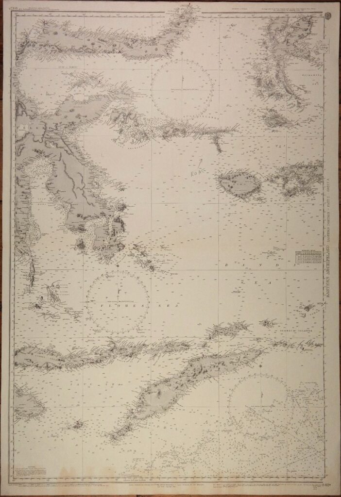
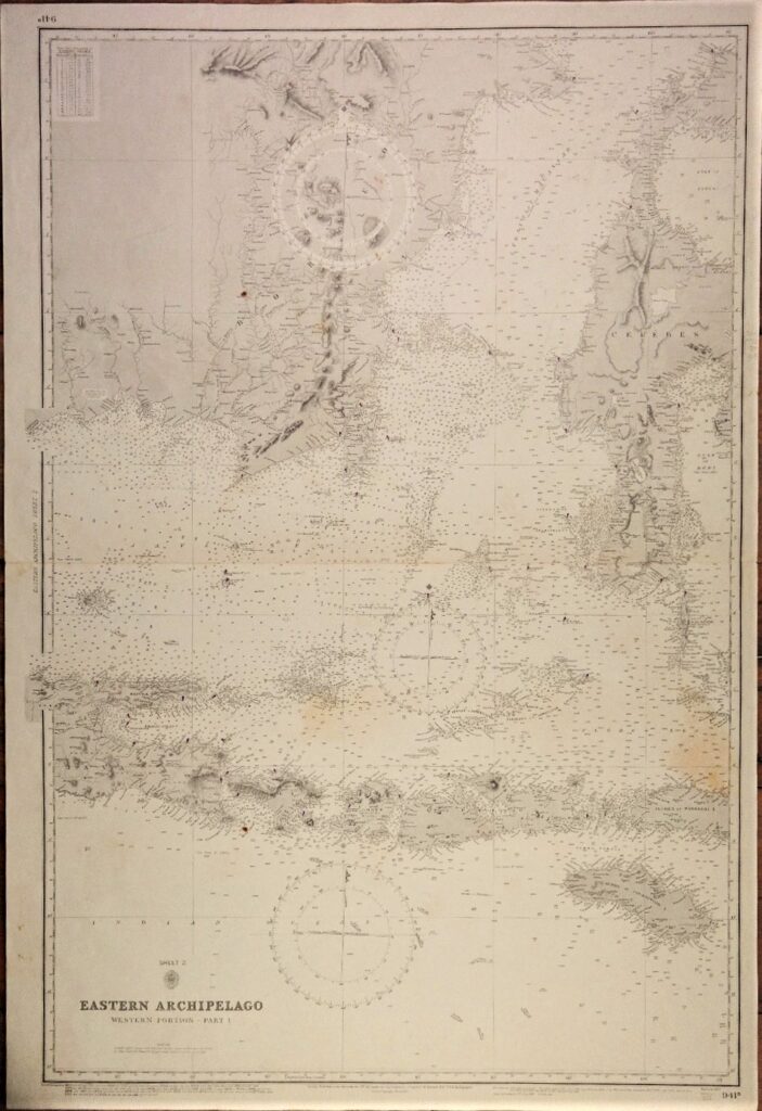
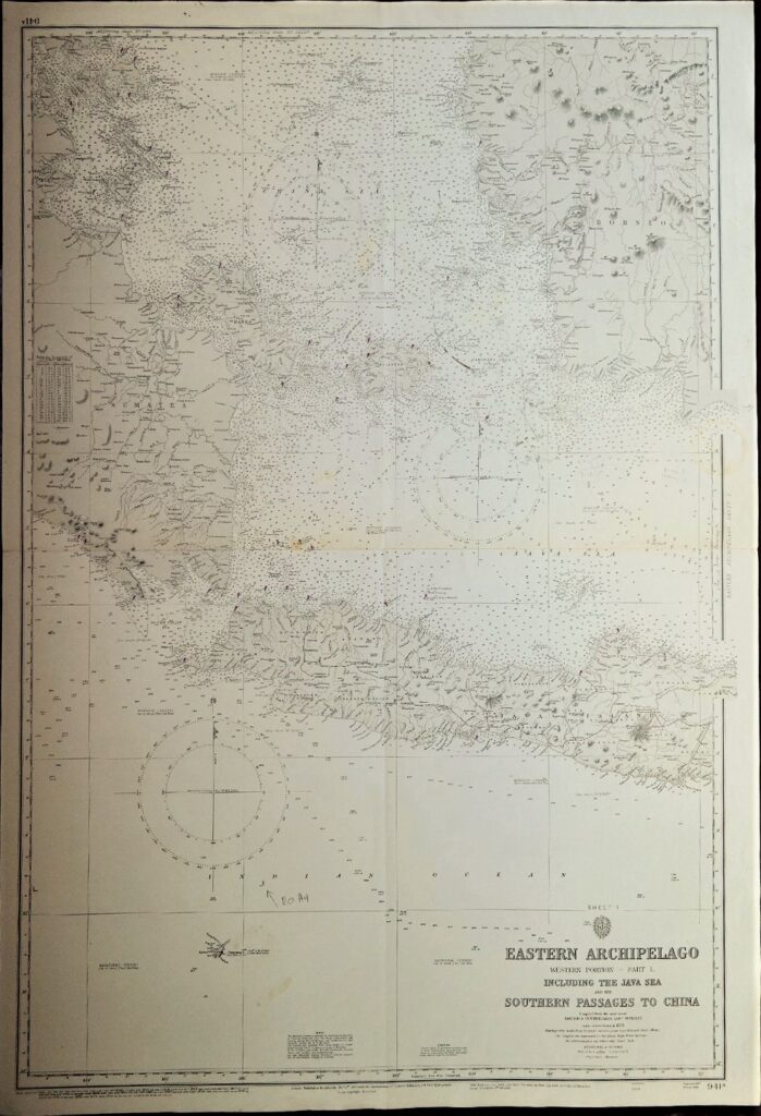
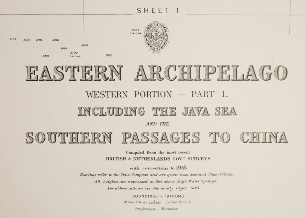
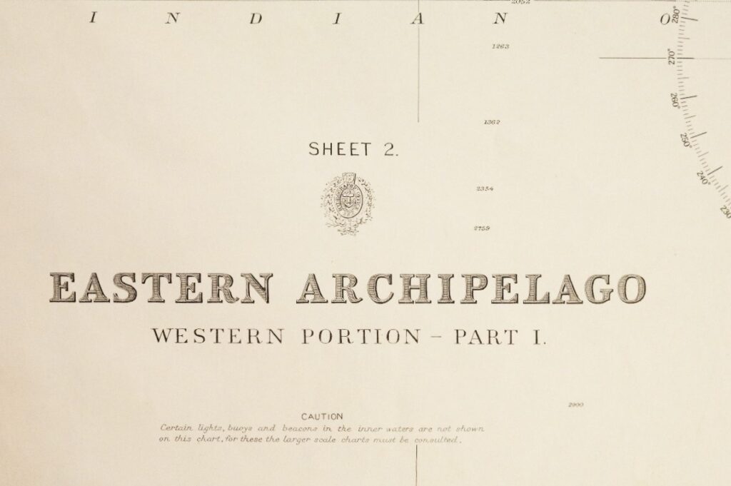


Dutch Indies – Western and Eastern portions of the Eastern Archipelago – British Admiralty Chart 941a/b and 942a/b in 4 sheets, published 1867 – 1920
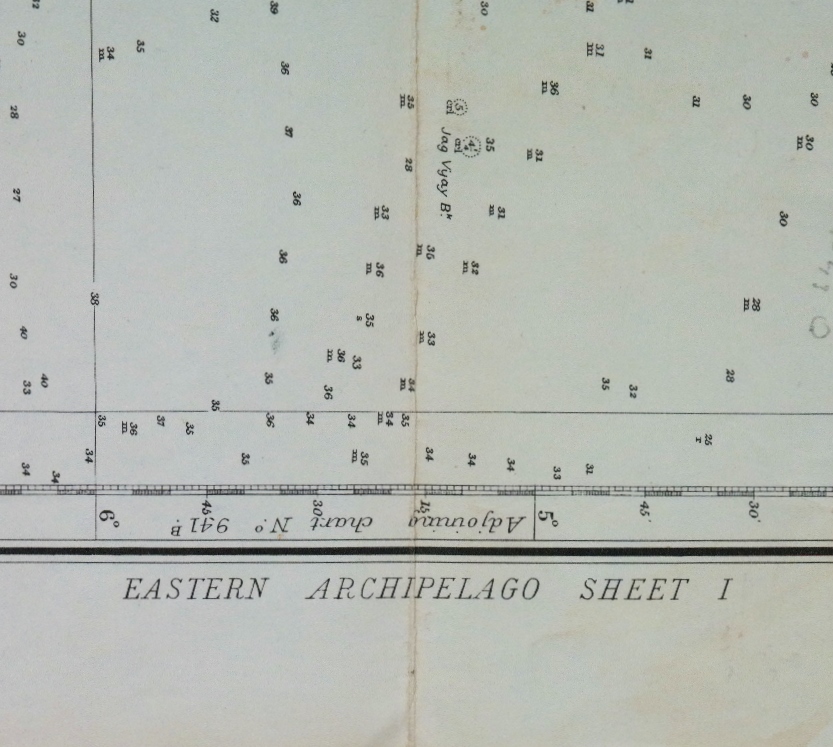
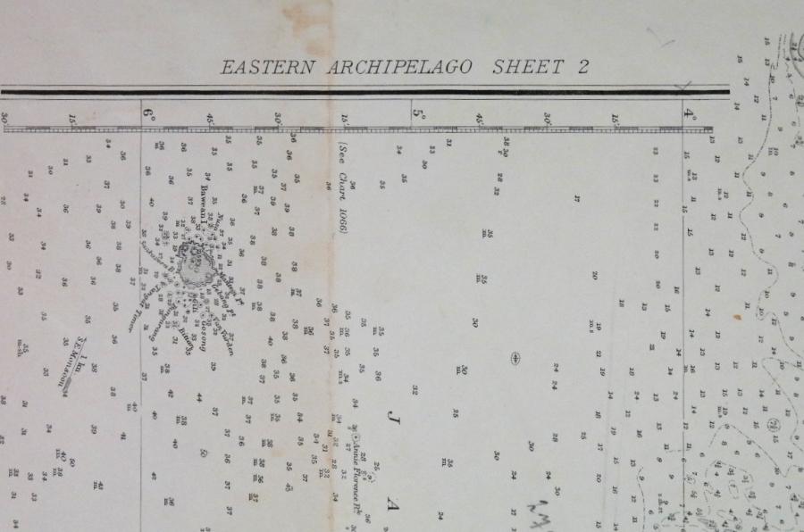
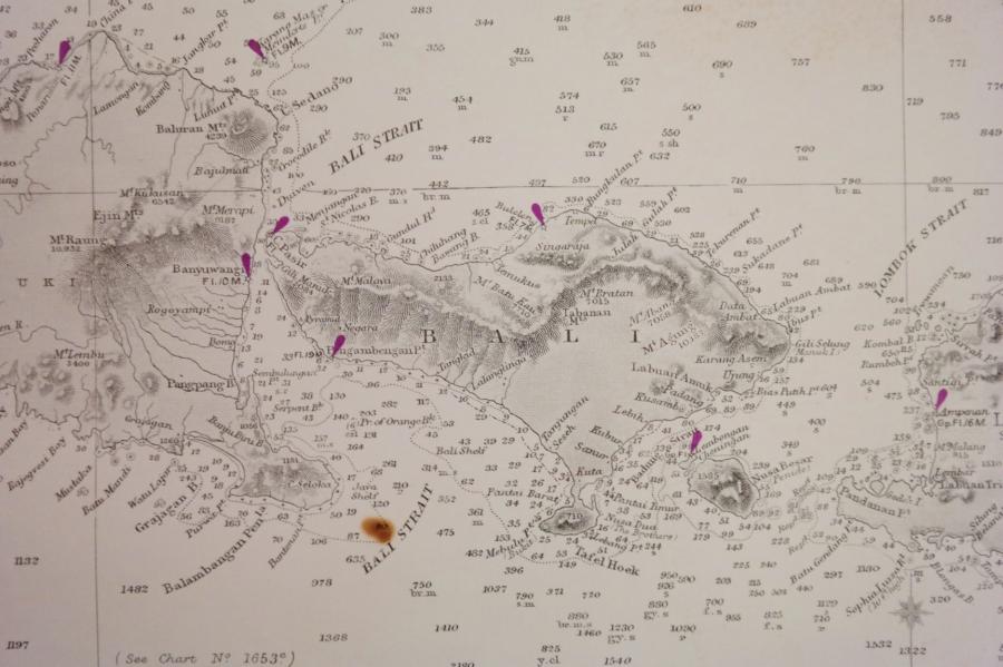
Four consecutive and detailed charts with the whole Indonesian archipelago from Singapore to Australia, including the southern and eastern passages to China and the Java, Flores and Banda Seas.
Survey, compiled from the most recent Brittish and Netherlands surveys
1rst publication: 1867/1868
Additions and corrections to 1949/1955
Dimensions: standard 71×104 cm (28×41”)
Catalog: AC-941
Condition: VG
In our chart room are hundreds of Admiralty fathom charts from before WWII. World wide, all in good condition, many unused.
Ask for the availability list.