Chartroom

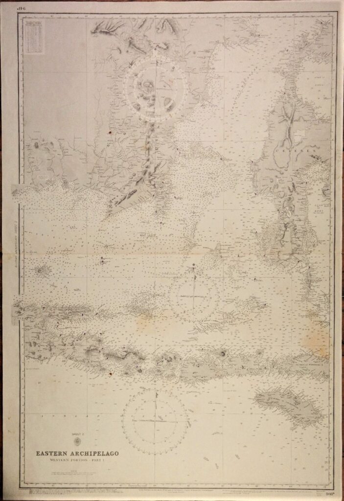
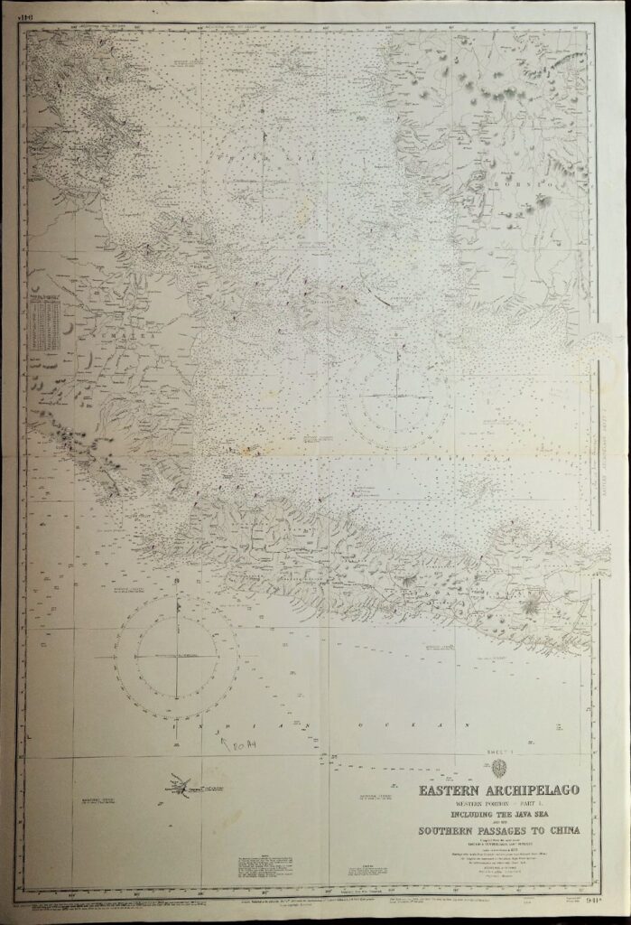
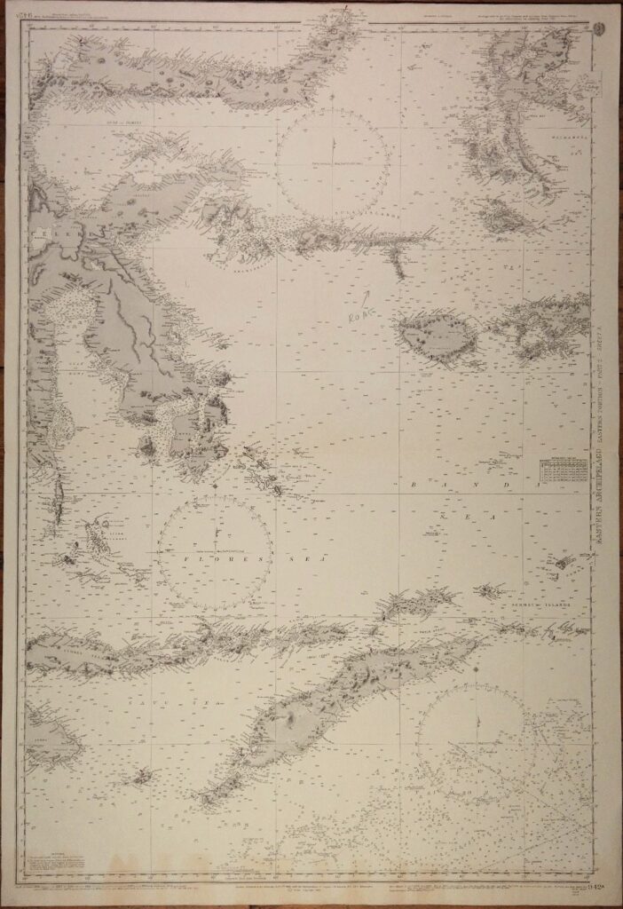
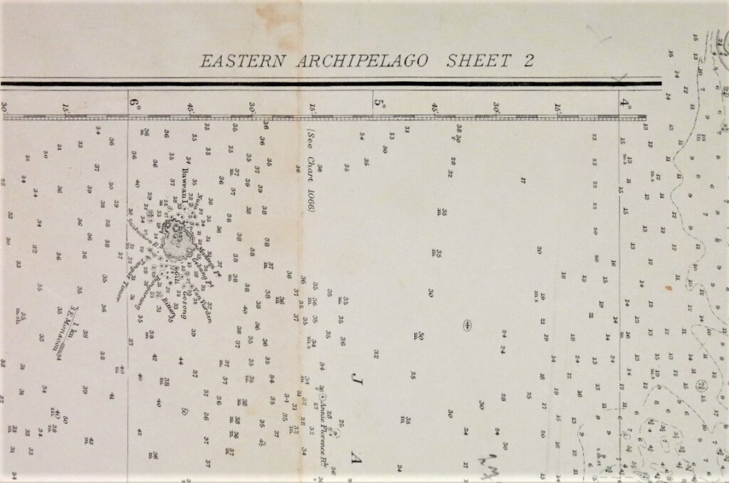
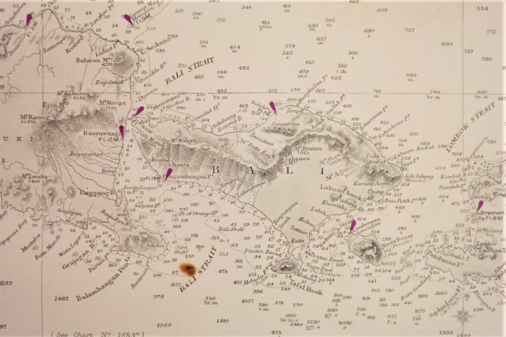
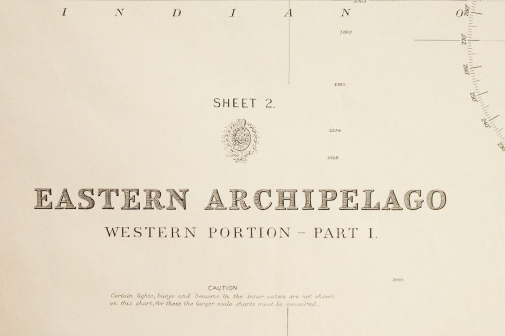
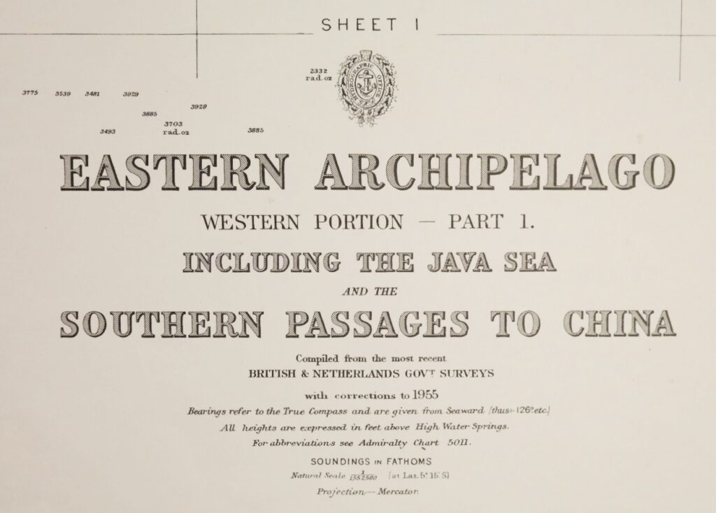
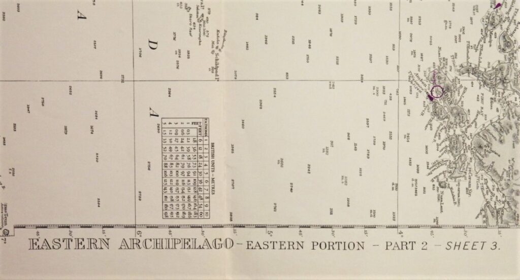
Eastern Archipelago – the Western and Eastern portions of the Dutch Indies British Admiralty Chart 941a/b and 942a/b in 4 sheets, published 1867 – 1920

Four consecutive and detailed charts with the whole Indonesian archipelago from Singapore to Australia, including the southern and eastern passages to China and the Java, Flores and Banda Seas.

Catalog: AC-941
Survey, compiled from the most recent British and Netherlands surveys
Published: 1867/1868
Edition:
Dimensions: standard 71×104 cm (28×41 in)
Condition: VG-G

Add to your Page of Interest
« Back to the overview page

    Specific questions?

    If you have specific questions, please feel free to fill out the form below.

    Share this page on your:
    PrintFacebookTwitterLinkedIn

    SEND TO A FRIEND:

    Send a link to this page to a friend.

    TEMPORARY LIST

    For the duration of your visit you can compile a page filled with items of your interest. To your personal page
    This website uses Google Analytics to keep track of your visit, but does so without sharing personally identifiable data with Google. Please select your choise below: