")


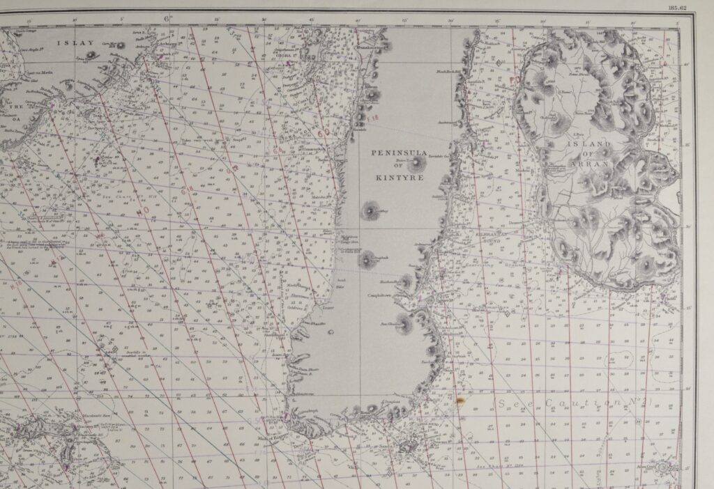
Ireland, Ailsa Craig to Bloody Foreland – British Admiralty Chart 46, published in 1861
Impressive and very detailed chart of the North coast of Ireland with beautiful views at Paps of Jura, Horn Head, Bloody Foreland Hill and so on. Authentic, unused sea chart with Decca inprint. On thick paper, folded as issued, suitable for framing.
In our chartroom are to find hundreds of British Admiralty sea charts.
Fathom charts, issued before WWII, world wide. All in good condition, many unused.
Ask for the actual availability list.
Catalog: AC-46
Surveyed: 1853-1859
Published: 1861
Edition: 1914
Dimensions: large 71×130 cm (28×51 in)
Condition: VG, used, inconspicuous defects, bit foxing