")
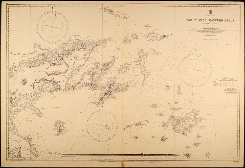
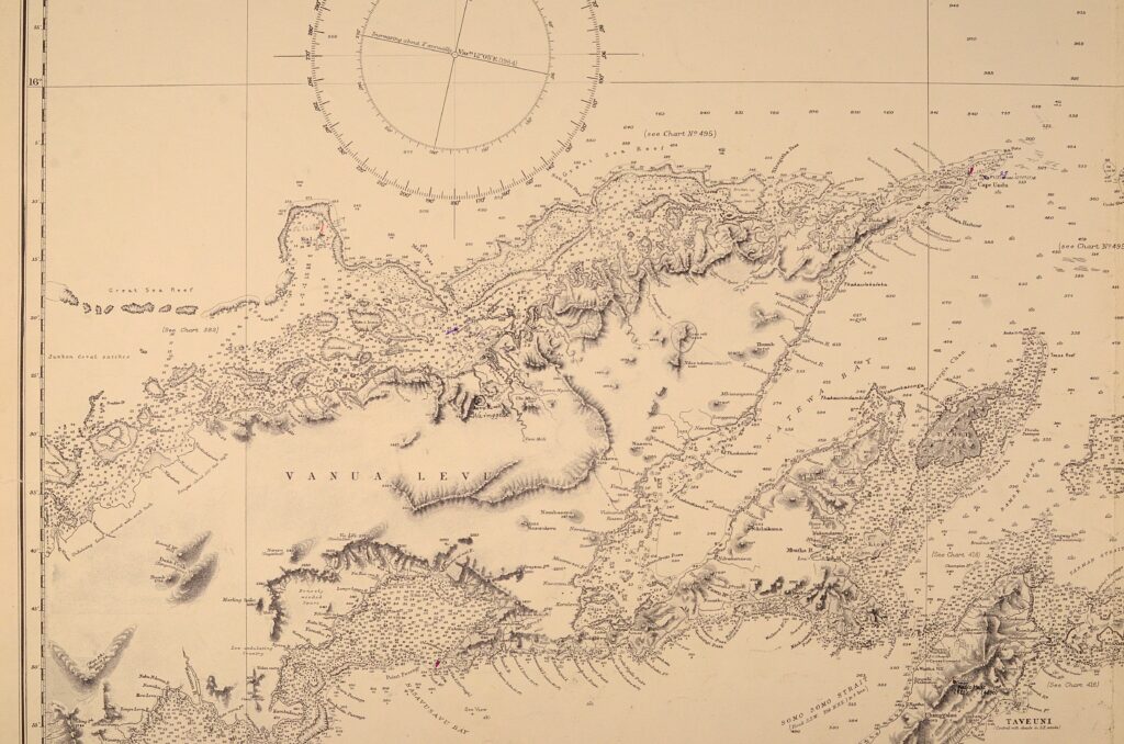
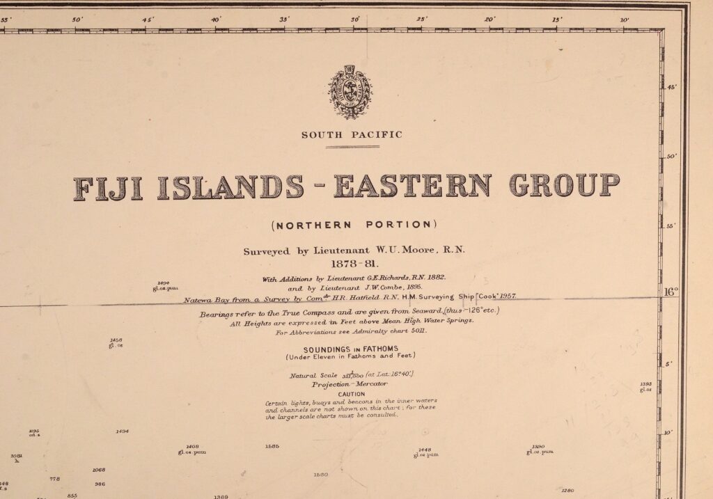
South Pacific, Fiji Islands, Eastern Group – British Admiralty Chart 440, published 1883
Very nice engraved and detailed sea chart of the Fiji Islands with land view of the Nasavusavu Bay. The first surveys are from 1878 to 1881 by Captain W.U. Moore. Tidal information is mentioned. Authentic, very detailed sea chart, no modern copy. On thick paper, folded as issued, suitable for framing. Nice, fresh specimen.
In our chartroom are to find hundreds of British Admiralty sea charts.
Fathom charts, issued before WWII, world wide. All in good condition, many unused.
Ask for the actual availability list.
Catalog: AC-440
Surveyed in 1878 – 1881
Published: 1883
Dimensions: standard 71×104 cm (28×41 in)
Condition: VG, used, inconspicuous defects
Verso: printed title, stamps with correction data