
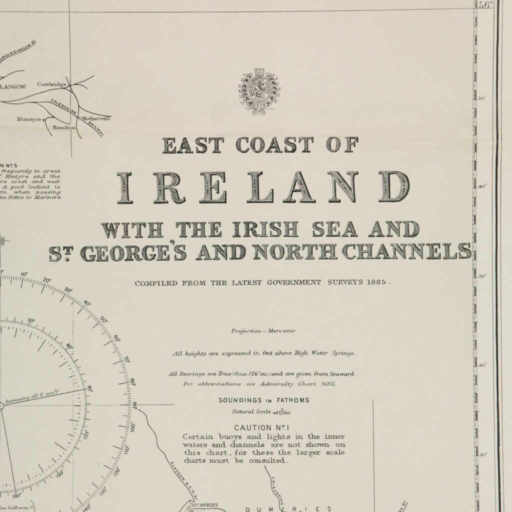
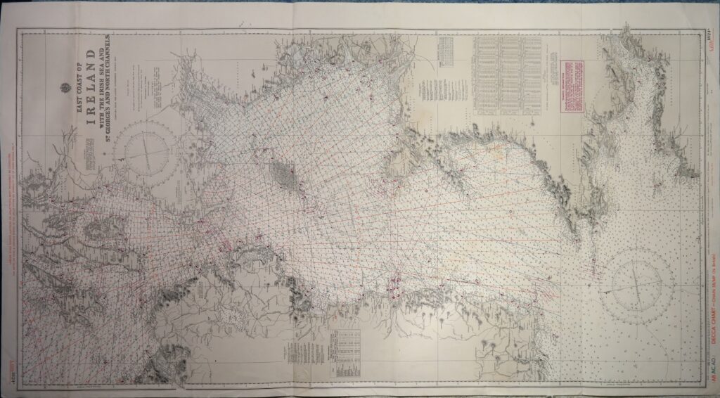

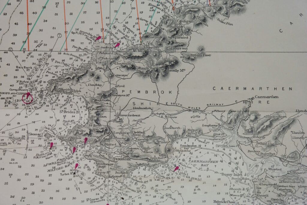
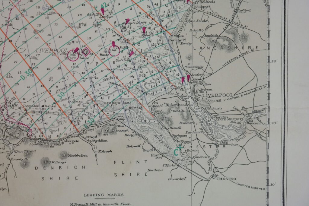
Ireland East Coast – British Admiralty Chart 1824a, published in 1886
Detailed and early chart of the West coast of Ireland. The first surveys are from 1885. With tidal information. Authentic, very detailed sea chart, no modern copy. On thick paper, folded as issued, suitable for framing. Nice, fresh specimen.
In our chartroom are to find hundreds of British Admiralty sea charts.
Fathom charts, issued before WWII, world wide. All in good condition, many unused.
Ask for the actual availability list.
Catalog: AC-1824a
Published: 1886
Edition: 1925
Dimensions: large 71×129 cm
Condition: VG+, unused
Verso: clean, printed title, correction stamp
Sold together with 1824b.