
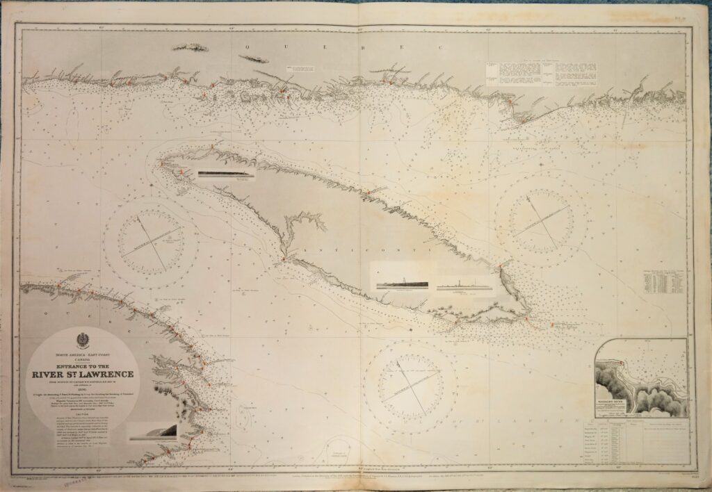
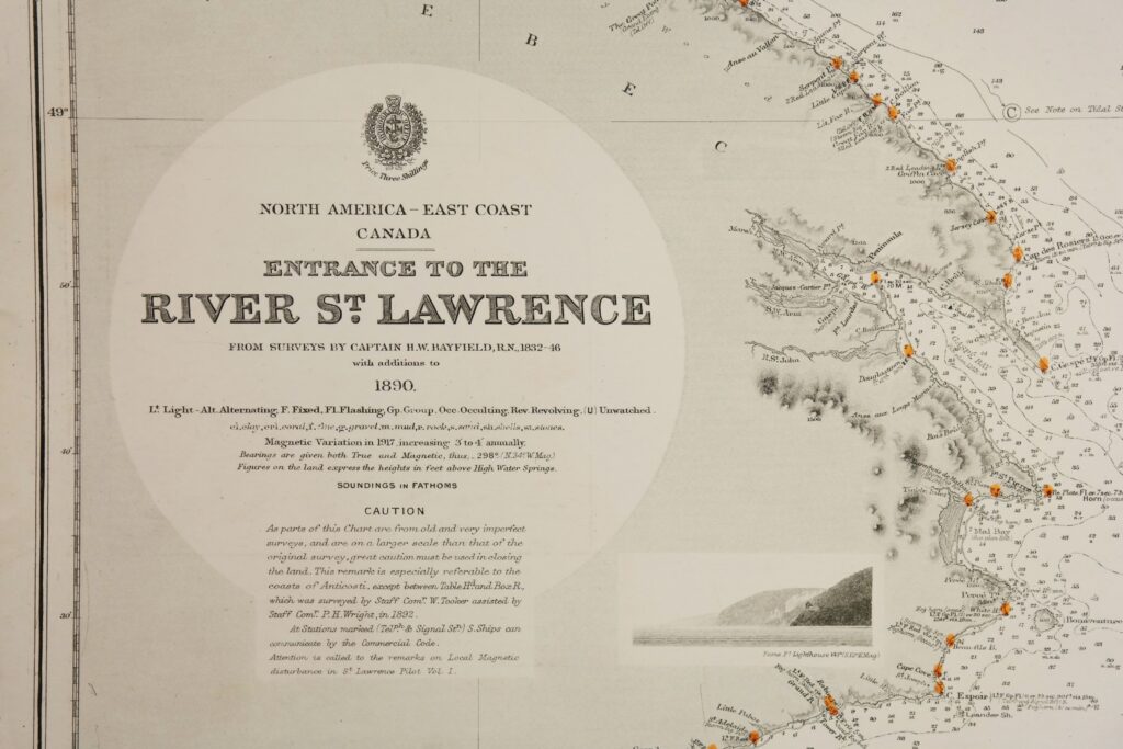
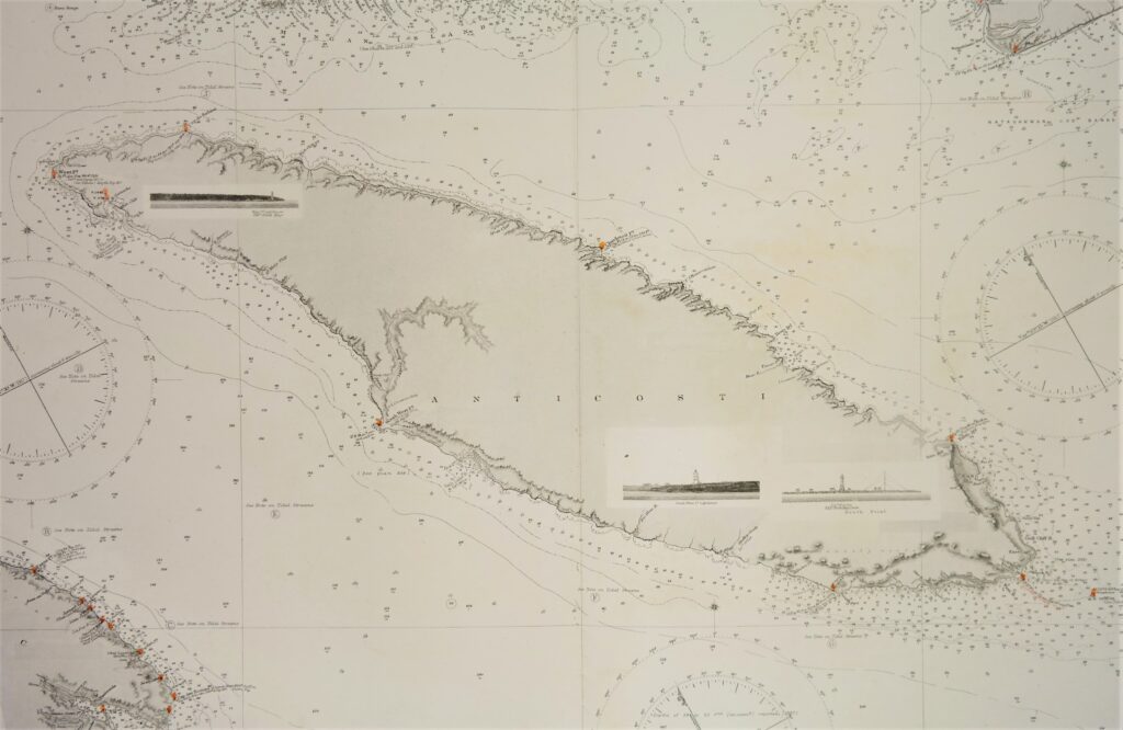
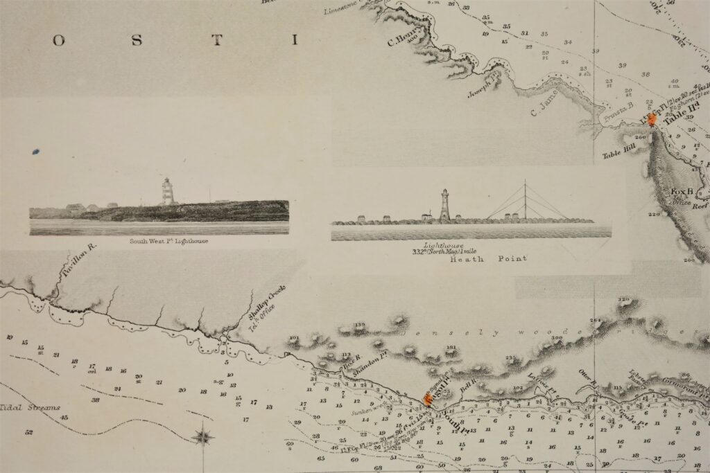
River St. Lawrence, Canada East Coast – British Admiralty Chart 1621, published in 1891
Detailed and early chart of the entrance of the St. Lawrence river with nice land views. The first surveys are from 1832 and 1846 by Captain H.W. Bayfield. With tidal information. Authentic, very detailed sea chart, no modern copy. On thick paper, folded as issued, suitable for framing. Nice, fresh specimen.
In our chartroom are to find hundreds of British Admiralty sea charts.
Fathom charts, issued before WWII, world wide. All in good condition, many unused.
Ask for the actual availability list.
Catalog: AC-1621
Published: 1891
Edition: 1917
Dimensions: large 71×116 cm (28×45.5 in)
Condition: VG, very little used, small reastauration on middle fold
Verso: clean, printed title, the C of cancelled