Chartroom

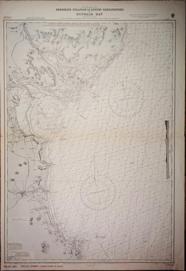
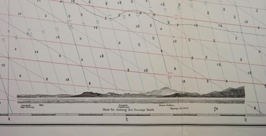
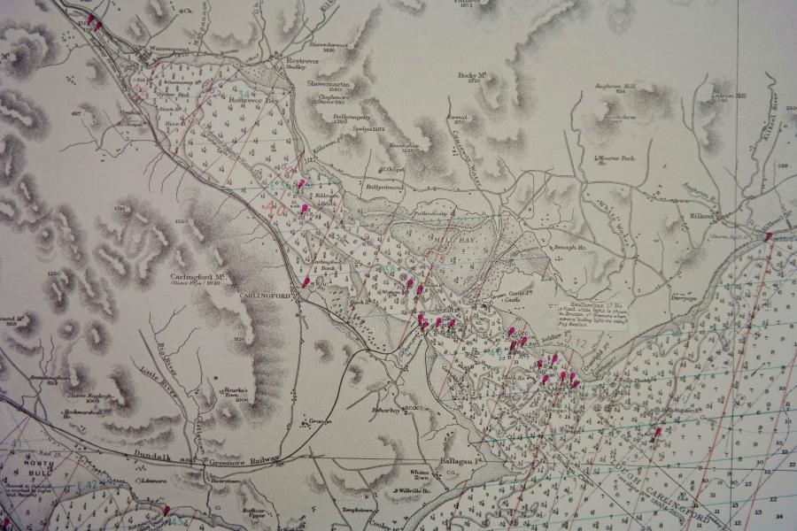
Ireland, East Coast – Skerries Islands to Lough Carlingford with Dundalk Bay – British Admiralty Chart no. 44, published in 1883

Authentic chart with land view, tidal information and so on. With decca patern.

Catalog: AC-44
Surveyed from 1839 – 1881
1rst publication: 1839
Edition: 1839
Dimensions: standard
Condition: VG+

In our chart room are hundreds of Admiralty fathom charts from before WWII. All in good condition, many unused.
Ask for the availability list.

Add to your Page of Interest
« Back to the overview page

    Specific questions?

    If you have specific questions, please feel free to fill out the form below.

    Share this page on your:
    PrintFacebookTwitterLinkedIn

    SEND TO A FRIEND:

    Send a link to this page to a friend.

    TEMPORARY LIST

    For the duration of your visit you can compile a page filled with items of your interest. To your personal page
    This website uses Google Analytics to keep track of your visit, but does so without sharing personally identifiable data with Google. Please select your choise below: