
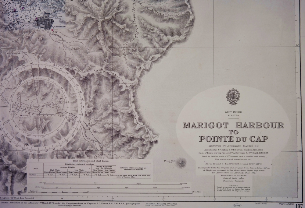
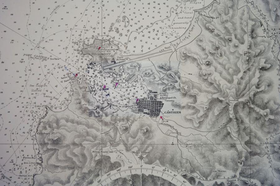
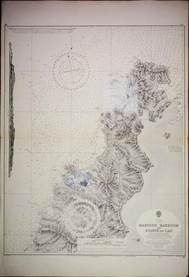
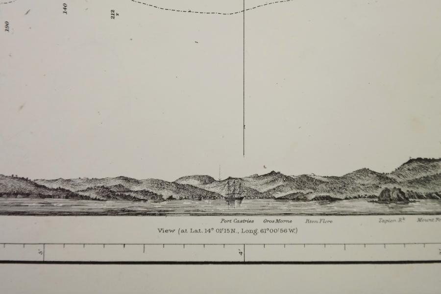
West Indies – Marigot Harbour to Pointe du Cap – British Admiralty Chart 197, published in 1875
Very detailed chart with beautiful land views.
Catalog: AC-197
Surveyed 1863 – 1887
1rst publication: 1875
Edition: 1915
Dimensions: standard
Condition: VG
In our chart room are hundreds of Admiralty fathom charts from before WWII. All in good condition, many unused.
Ask for the availability list.