


Ireland South Coast, Valencia to Cork – British Admiralty Chart 2424, published 1908
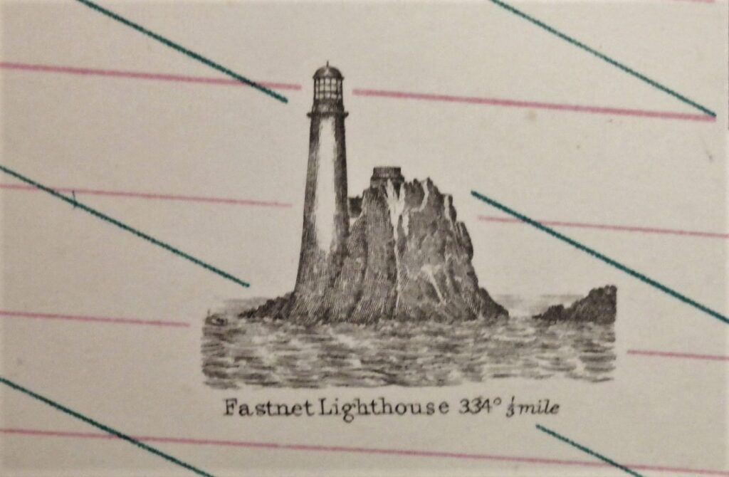
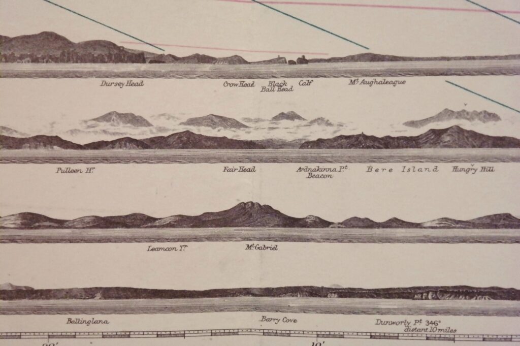
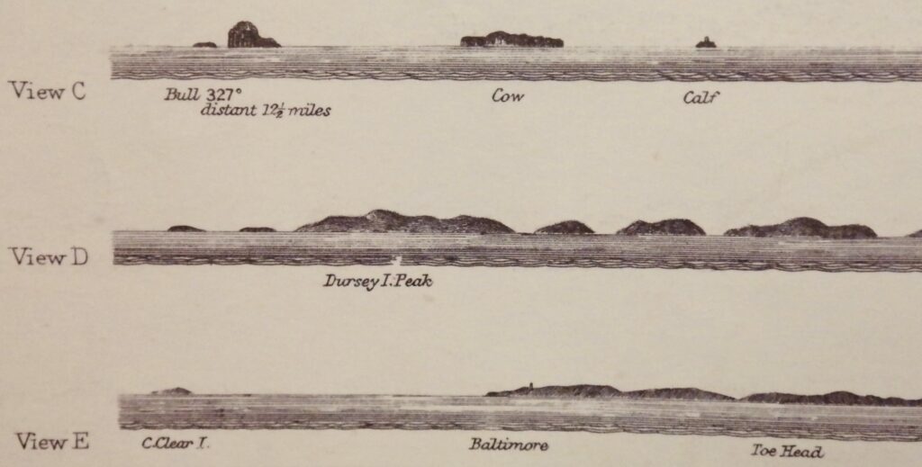
Unused chart of the South coast of Ireland with Cork in the North East and the Bantry Bay in the South West. Authentic chart, compiled from British Admiralty Surveys to 1908 with beautiful details, land views, the Fastnet ligthhouse, tidal information and so on. Nice and detailed sea chart, no modern copy. On thick paper, folded as issued, suitable for framing.
In our chartroom are to find hundreds of British Admiralty sea charts.
Fathom charts, issued before WWII, world wide. All in good condition, many unused.
Ask for the actual availability list.
Catalog: AC-2424
Published: 1908
Edition: 1rst publication
Dimensions: large 71×134 cm (28×52,8 in)
Condition: VG, used, inconspicuous defects