")
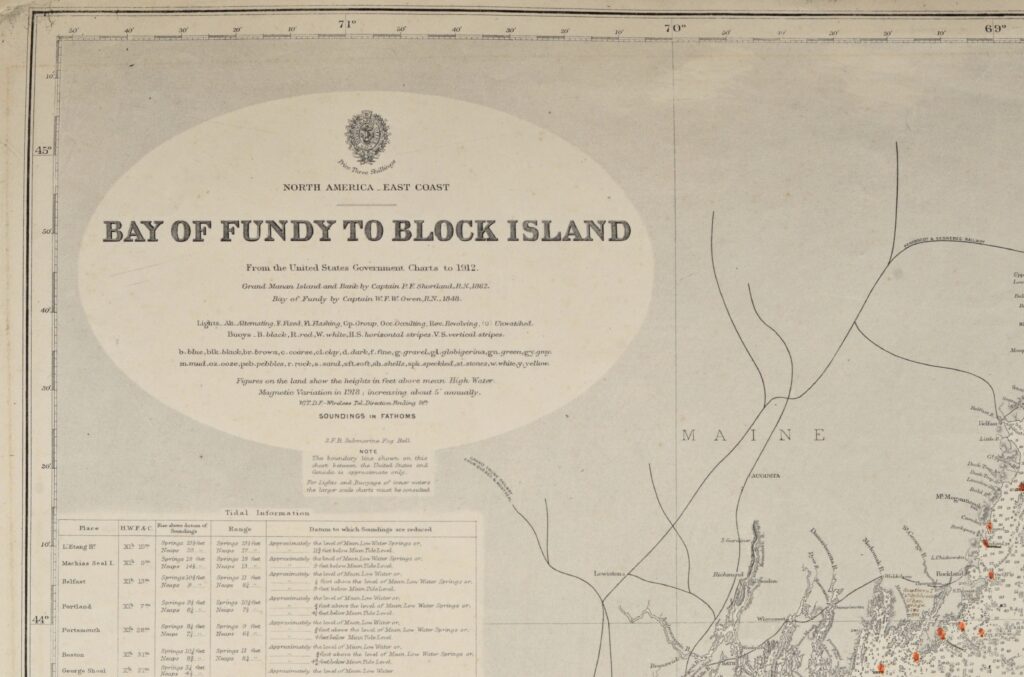
United States East Coast – Block Island, Nantucket, Rhode Island – British Admiralty Chart 2492, published 1887
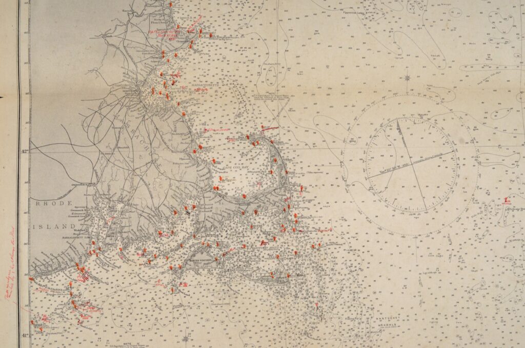
Hardly used, small scale chart, of the North East coast of North America with Rhode Island, Nantucket, Portland, Boston and so on. The first surveys are from 1848 by Captain W.F.W. Owen. Tidal information is mentioned for the most important harbours on the North East coast of the US. Authentic, very detailed sea chart, no modern copy. On thick paper, folded as issued, suitable for framing.
In our chartroom are to find hundreds of British Admiralty sea charts.
Fathom charts, issued before WWII, world wide. All in good condition, many unused.
Ask for the actual availability list.
Published: 1887
Edition: 1914
Dimensions: standard 71×104 cm (28×41 in)
Condition: VG+, very little used, fold as issued, tear at the bottom, practically invisible sealed on the back side
Verso: clean, little discoloration, title on label, some pencil notes