
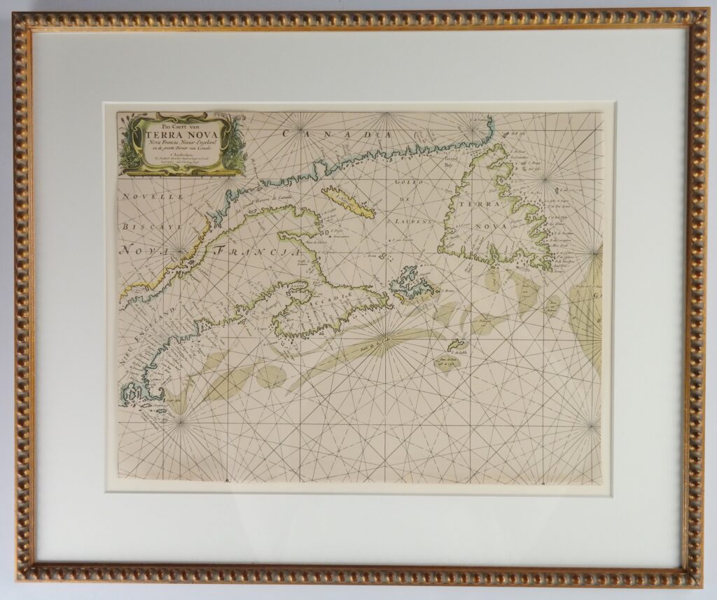
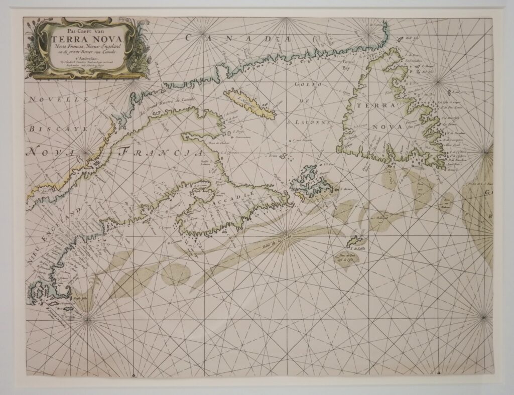

Nantucket, Nova Scotia and Newfoundland in the 17th century – Nautical Chart
Framed nautical chart of the Northwest Atlantic with an early depiction of Newfoundland (Terra Nova), the Saint Lawrence River (le Grand Rivière de Canada), Massachusetts, Vermont, Maine (New Engeland) and New Brunswick (Francia) and Québec (Novelle Biscaye) in Canada. Authentic chart, no modern copy. The chart has been reduced slightly.
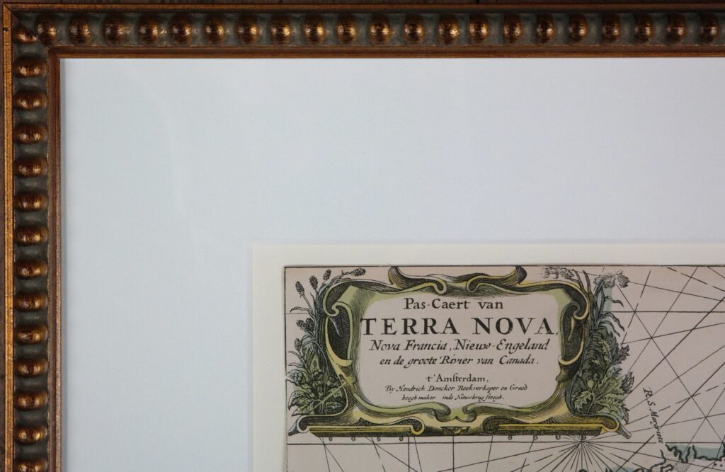
In the cartouche:
Pas Caert van
T E R R A N O V A
Nova Francia, Nieuw Engeland
En de groote Rivier van Canada
’t Amsterdam
By Hendrick Doncker Boekverkooper en Graed-
Boogh maker inde Nieuwbrug Steegh
Catalog: BK.1-02
Date: ca. 1669
WL frame: 66×55 cm (26×21.5 in)
WL 46,5×35 cm (18.1×13.8 in)
Origin: Holland
Condition: good