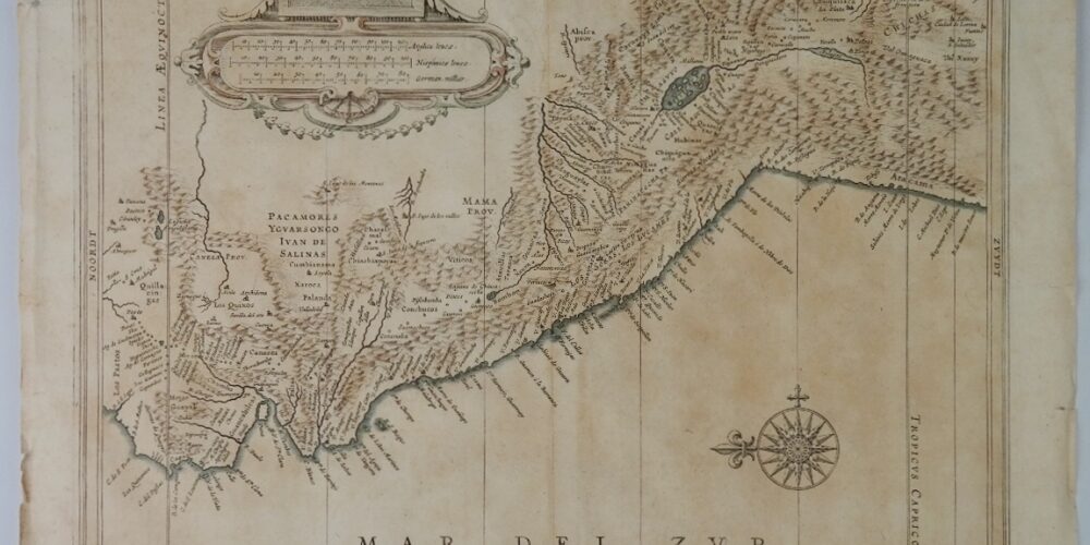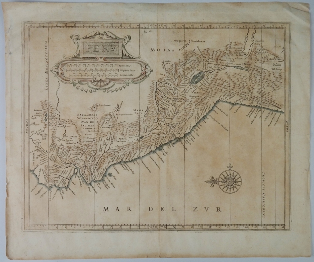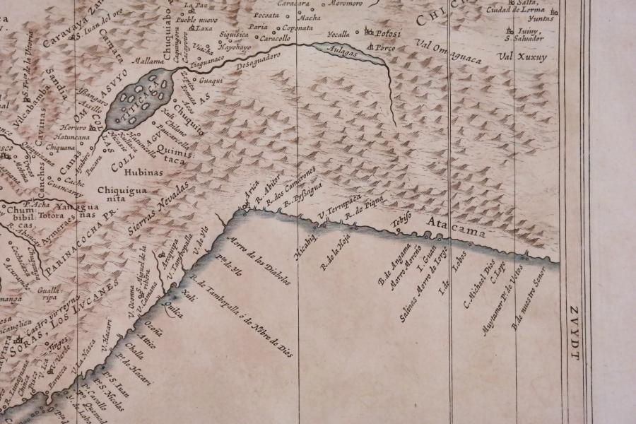
Peru or Perou – Amsterdam, 17th century – handcolored map
Original copper-plate engraved map of Peru from the enlarged Cloppenburgh edition of the Mercator/Hondius atlas.
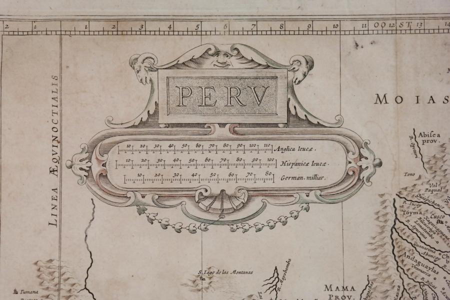
With nice cartouche and compass rose. Spanish tekst with Dutch additions.
Catalog: BK.1-07
Date: 1630 or 1670
WL case: 41×34,5 cm (16×13,5”)
Condition: VG with age toning
In our chart room are to find hundreds of Admiralty fathom charts from before WWII. World wide, all in good condition, many unused.
Ask for the availability list.
