 (1)")
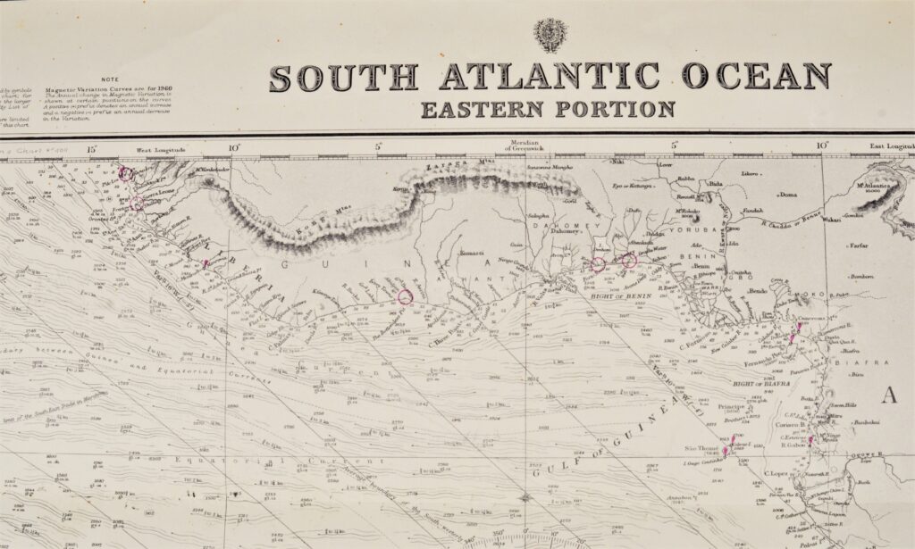
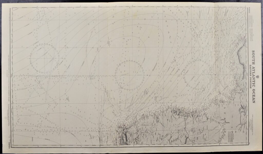
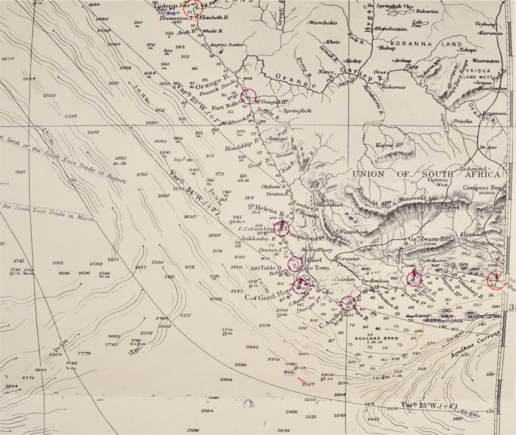
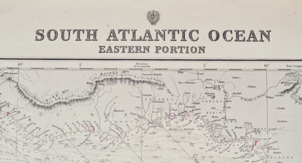
South Atlantic Ocean, Eastern Portion – British Admiralty Chart 2202a, published 1871
Authentic chart first published in 1871. With small corrections till 1947.
Chart with the Falklands, Suriname, Guiana and lines of equal variation.
In our chartroom are to find hundreds of British Admiralty sea charts.
Fathom charts, issued before WWII, world wide. All in good condition, many unused.
Ask for the actual availability list.
Catalog: AC-2202a
Published: 1871
Edition: 1923
Divergent dimensions: 71×104 cm (28×41 in)
Condition: VG, used, inconspicuous defects
Sold together with 2202b