
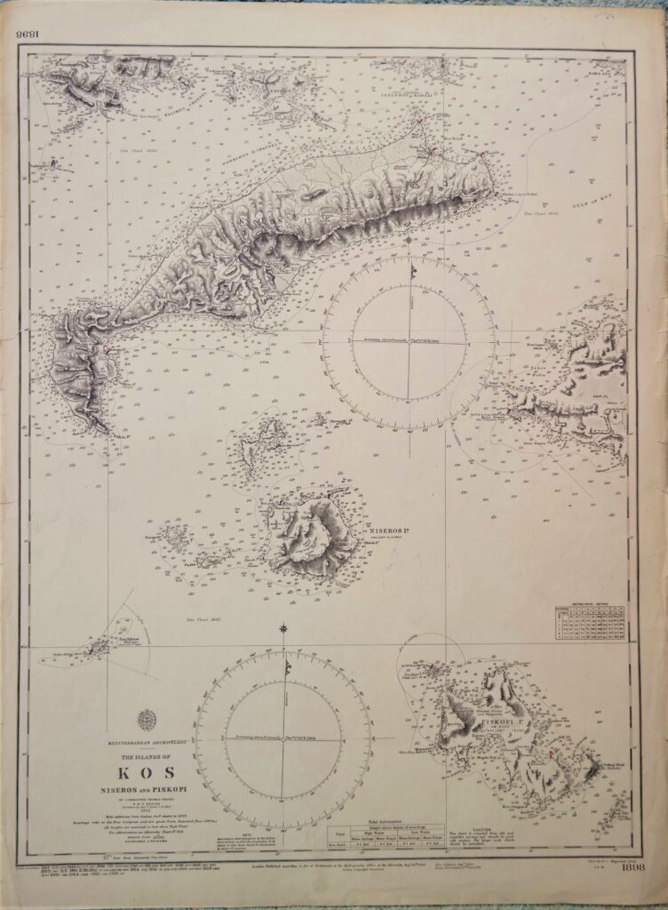
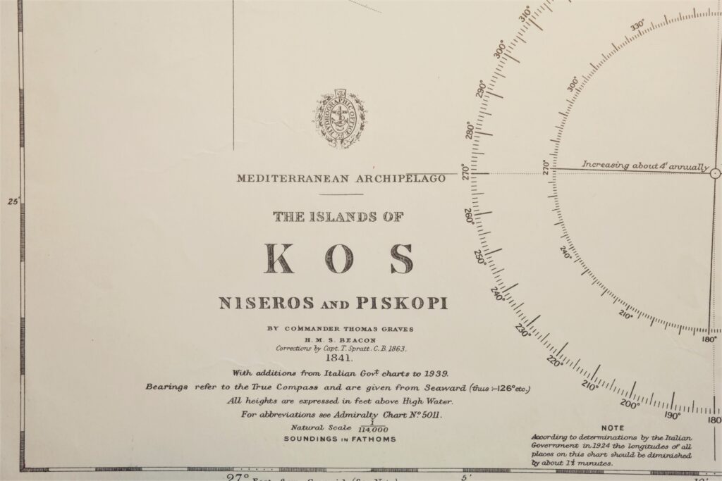
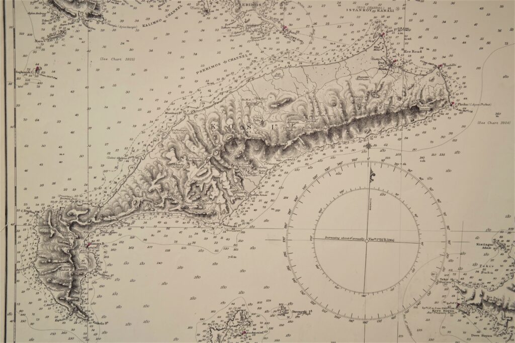
Greece – Island of Kos, Mediterranean – British Admiralty Chart 1898, published in 1848
Nice and detailed chart of the island of Kos. With tidal information. Authentic, very detailed sea chart, no modern copy. On thick paper, folded as issued, suitable for framing. Nice, fresh specimen.
In our chartroom are to find hundreds of British Admiralty sea charts.
Fathom charts, issued before WWII, world wide. All in good condition, many unused.
Ask for the actual availability list.
Catalog: AC-1898
Published: 1848
Edition: 1864
Dimensions: 70×52 cm
Condition: G, small restaurations on both sides
Verso: clean, printed title, correction stamps