")
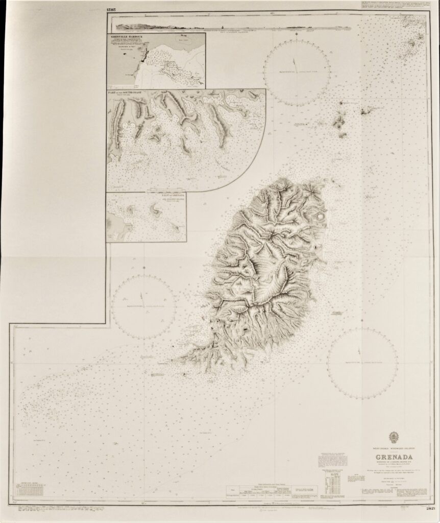
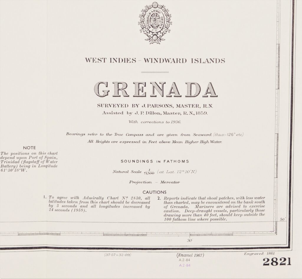
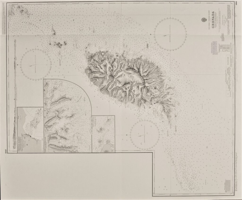

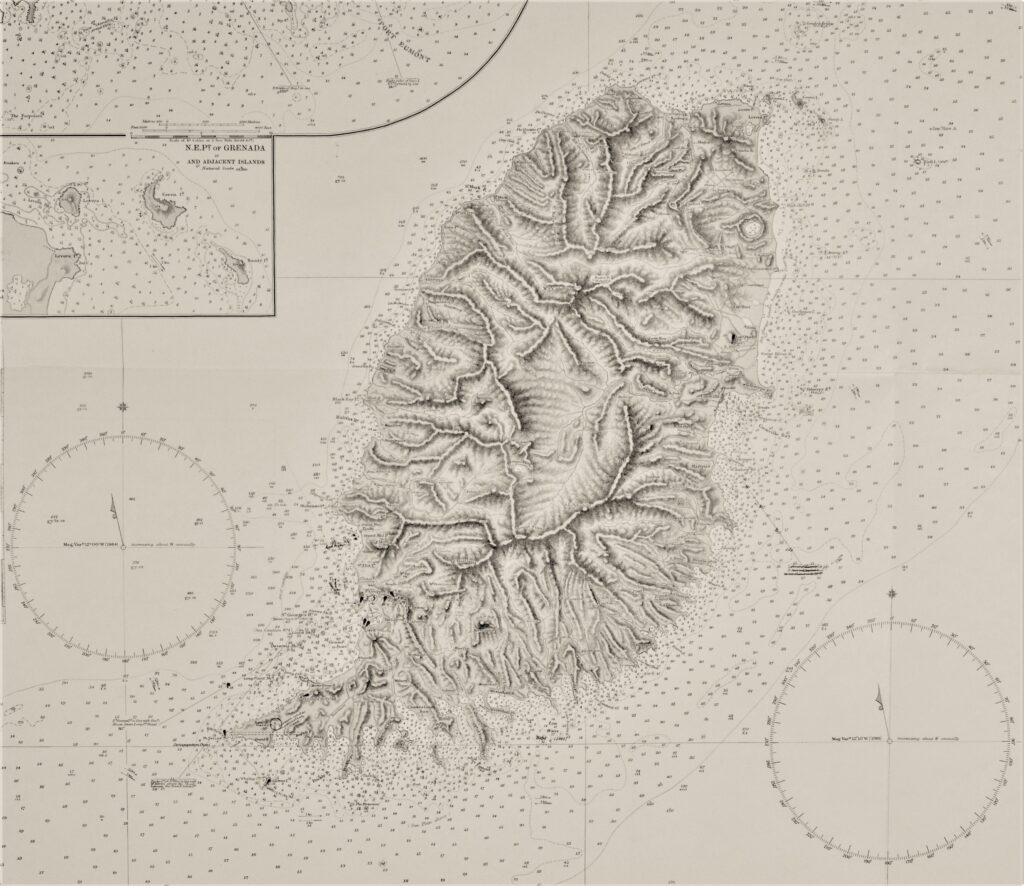
Granada, West-Indies, Windward Islands – British Admiralty Chart 2821, published in 1861
Impressive, unused, large scale chart of Grenada. The first surveys are from 1859 by J. Parsons, Master. Tidal information is mentioned for the most important ports. Authentic, very detailed sea chart, no modern copy. On thick paper, folded as issued, suitable for framing. Nice, fresh specimen.
In our chartroom are to find hundreds of British Admiralty sea charts.
Fathom charts, issued before WWII, world wide. All in good condition, many unused.
Ask for the actual availability list.
Catalog: AC-2821
Published: 1861
Edition: 1913
Dimensions: large 87×105 cm
Condition: VG++, unused
Verso: clean, printed title, stamp with correction data, some pencil notes