Chartroom
Archipel International Maritime Gallery is a gold mine for fans of old and antique sea charts. The collection consists mainly of British Admiralty Charts, but only a few are shown. If you are interested in a specific nautical chart, please do not hesitate to inquire. A up-to-date overview in excel is available. The charts are in good condition, most of them are not or little used.
The charts are valued as follows:
VG++ unused chart
VG+ little used clean chart, light handling marks and creases
VG good sea chart, handling marks more emphatically present
G good sea chart with clearly present traces of use
G- historically interesting map but with flaws
Slight signs of use, small defects and repairs which do not detract the image of the chart, are not mentioned.
The dimensions of the charts are indicated with:
Standard size, 71×104 cm or 28×41 inch
Half size, 71×52 cm or 28×20,5 inch
Large size, 71 cm wide but larger then the standard format
The Hydrographic Office of the British Navy has been in existence since 1797. Over 3500 navigatinonal charts are published with supporting items such as Sailing Directions (Pilots), Tide Tables, Lights and radio Signal Lists. They give a complete world cover for shipping of every size. The surveys are mostly made by ships of the Royal Navy.
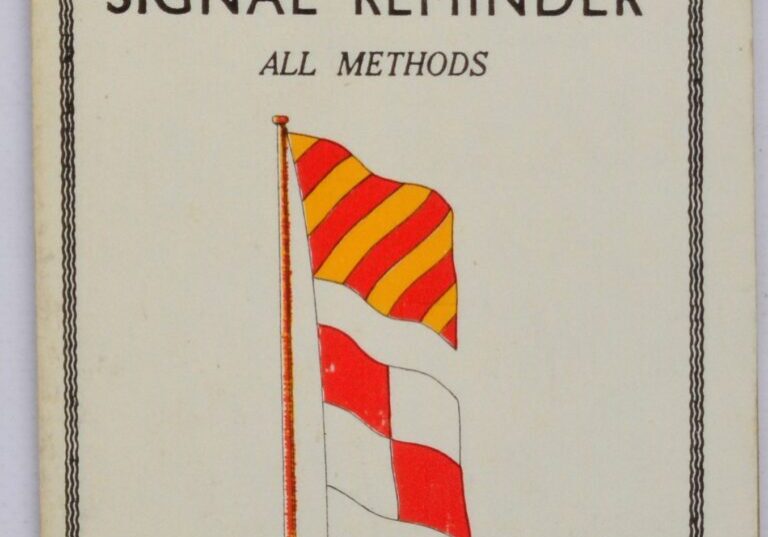
Five pieces of card 11×16,5 cm, hinged together as a handy and compact summary of international signals at sea to be distinguished from the Brown’s International Guide to Signal.
Catalog: BK.1-16
Date: ca. 1960
HW: 10,5×17 cm
Publisher: Brown, Son & Ferguson Ltd., Glasgow
Origin: England
Condition: perfect
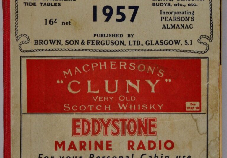
Different volumes of the Brown’s almanac.
Catalog: BK.1-05
Date: diverent
Condition: good with signs of use
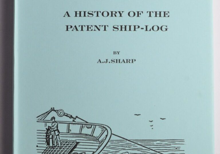
Distance Run, a history of the patent ship-log. This interesting edition gives a brief overview of the history of the ship’s log. And based on his own extensive collection, the writer describes the most important types. An indispensable reference for collectors of nautical instruments.
Catalog: BK.1-14
Date: 1999
Publishd by: A.J. Sharp / Brassbounders
Origin: England
Condition: new
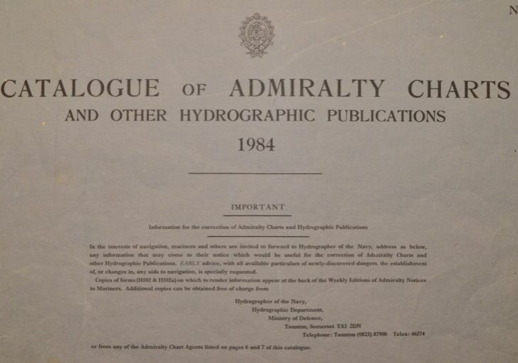
Original world wide catalogue of the British Admiralty Charts and other publications including indexes of sea charts, yachting charts, radio charts, pilots, handbooks and so on.
Catalog: BK.1-11
Date: Crown copyright 1984
HW: 42×59,5 cm (16.5×23.5 in)
Publisher: Hydrographer of the Navy
Origin: England
Condition: in good condition with signs of use
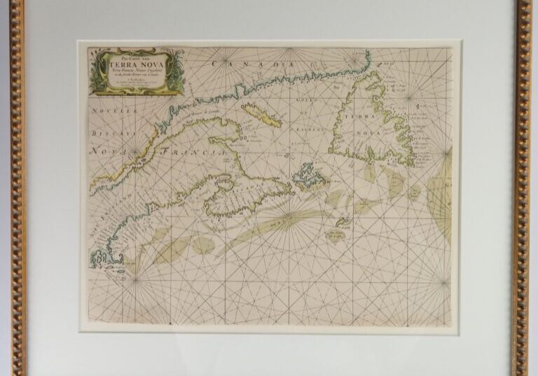
Framed nautical chart of the Northwest Atlantic with an early depiction of Newfoundland (Terra Nova), the Saint Lawrence River (le Grand Rivière de Canada), Massachusetts, Vermont, Maine (New Engeland) and New Brunswick (Francia) and Québec (Novelle Biscaye) in Canada. Authentic chart, no modern copy. The chart has been reduced slightly.
In the cartouche:
Pas Caert van
T E R R A N O V A
Nova Francia, Nieuw Engeland
En de groote Rivier van Canada
’t Amsterdam
By Hendrick Doncker Boekverkooper en Graed-
Boogh maker inde Nieuwbrug Steegh
Catalog: BK.1-02
Date: ca. 1669
WL frame: 66×55 cm (26×21.5 in)
WL 46,5×35 cm (18.1×13.8 in)
Origin: Holland
Condition: good
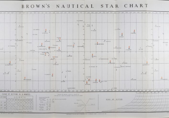
One large chart for finding altitudes and azimuths and seven smaller ones. Disigned by P. Clissold and A.J. Tweddel, Master Mariners. For use at any time in any part of the world.
Substitute fort he star-globe. Original chart in envelope.
Catalog: BK.1-13
Date: ca. 1950
Publishd by: Brown, Son & Feruson ltd, 4-10 Darnley Street, Glasgow
Origin: England
Condition: in good condition with folds as issued
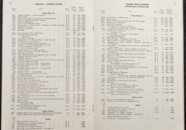
Original catalogue of the British home waters of 30 pages, including indexes of sea charts, yachting charts, radio charts, pilots, handbooks and so on.
Catalog: BK.1-10
Date: Crown copyright 1969
HW: 25×15,5 cm (10×6 in)
Publisher: Hydrographer of the Navy
Origin: England
Condition: in good condition with folds as issued
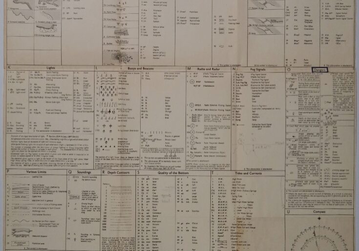
Authentic map of 1954 with small corrections untill 1964.
Catalog: BK.1-12
Dimensions: 45×61 cm (17,8×24”)
Condition: VG+, folded as issued
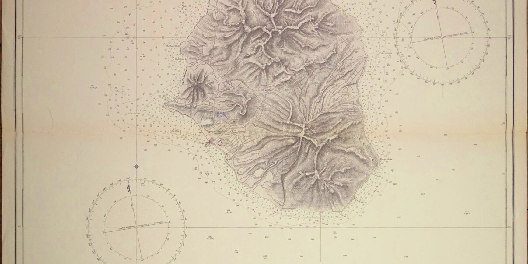
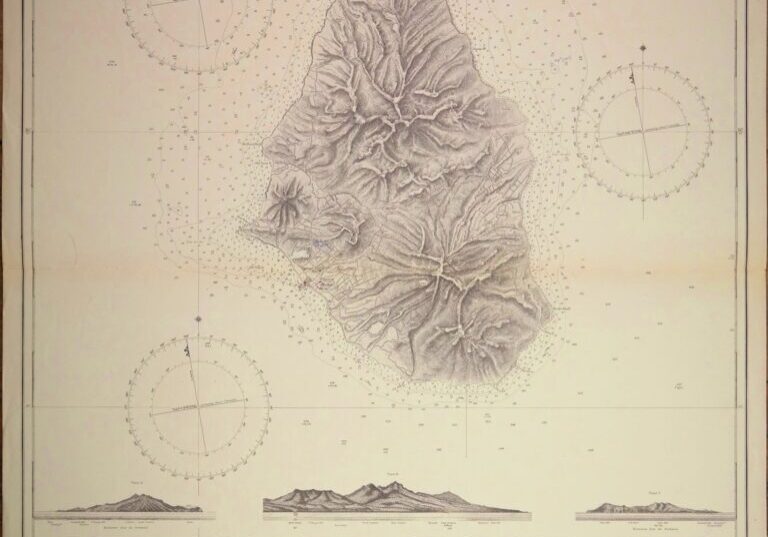
Impressive and very detailed sea chart with beautiful land views.
Catalog: AC-254
Surveyed 1867
1rst publication: 1869
Edition: 1869
Dimensions: standard
Condition: VG+
In our chart room are hundreds of Admiralty fathom charts from before WWII. All in good condition, many unused.
Ask for the availability list.
