
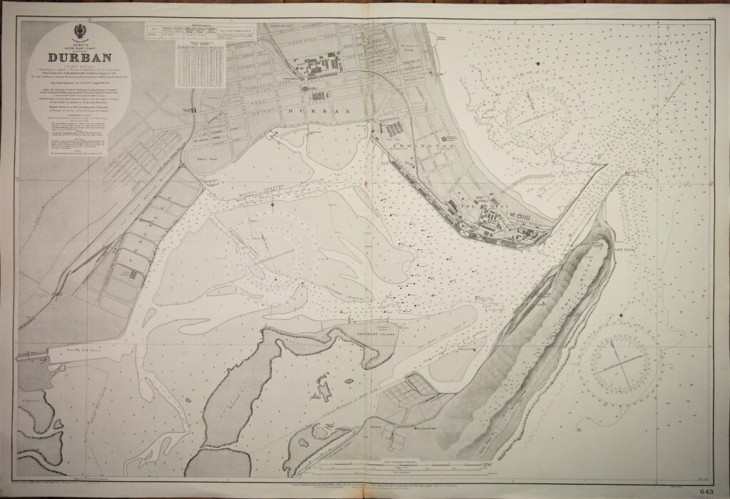
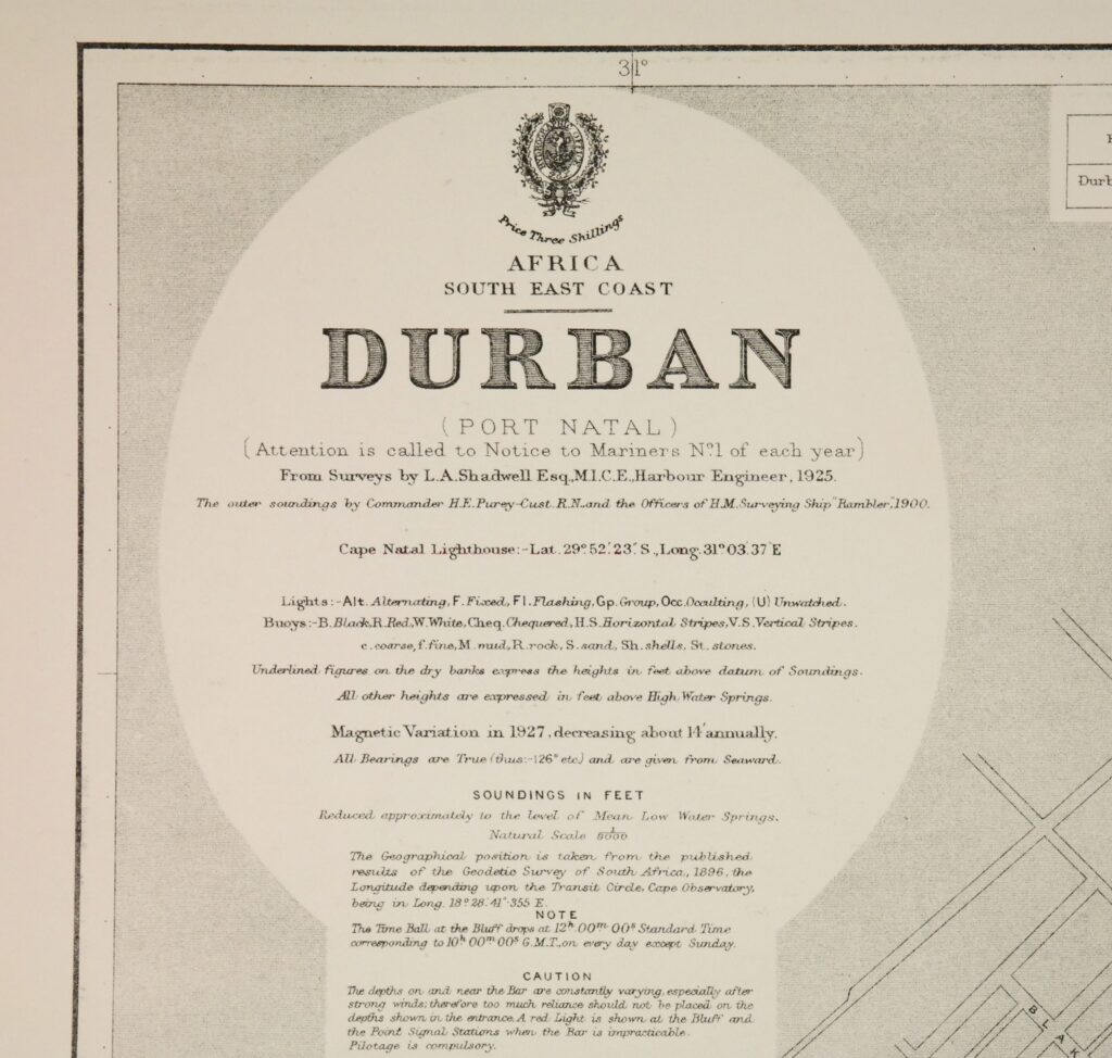
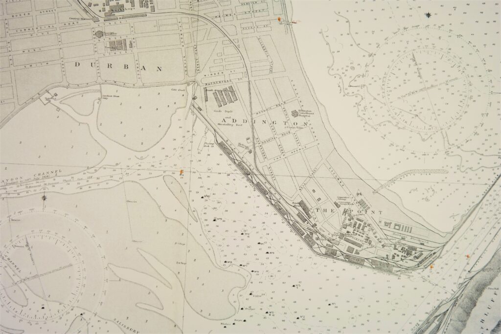
Africa, South East Coast, Durban – British Admiralty Chart 643, published 1924
Very nice engraved and detailed sea chart of the port of Durban (Port Natal). Authentic, very detailed sea chart, no modern copy. On thick paper, folded as issued, suitable for framing. Nice, fresh specimen.
In our chartroom are to find hundreds of British Admiralty sea charts.
Fathom charts, issued before WWII, world wide. All in good condition, many unused.
Ask for the actual availability list.
Catalog: AC-643
Published: 1924
Edition: 1963
Dimensions: standard 71×104 cm (28×41 in)
Condition: VG++, unused
Verso: printed title, stamp with correction data