")

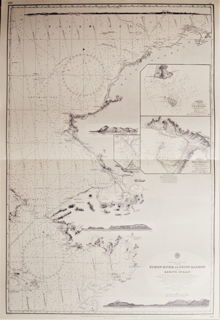
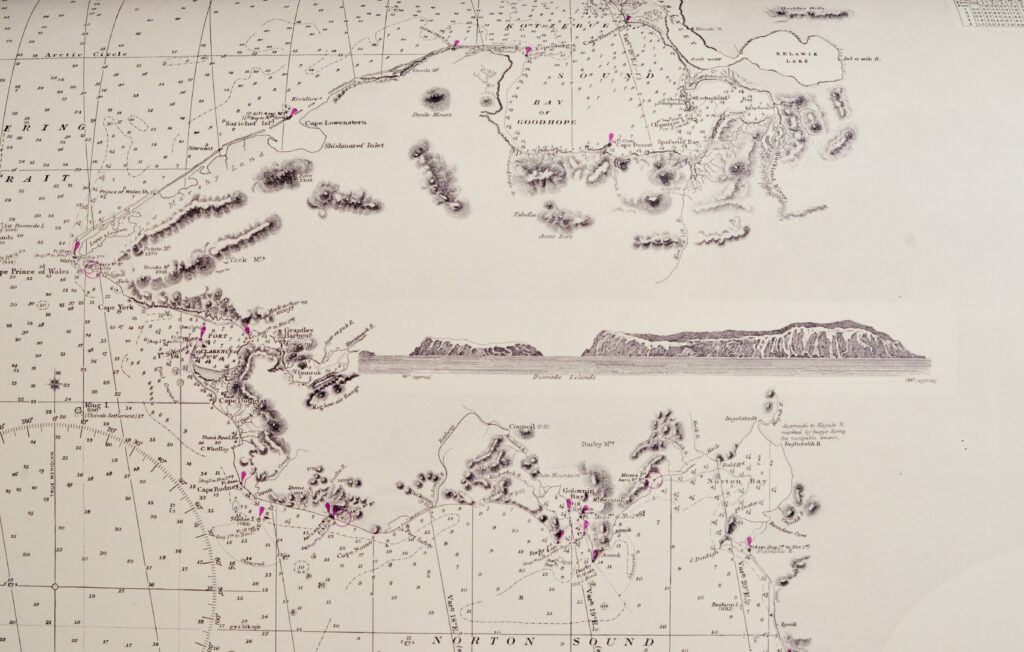
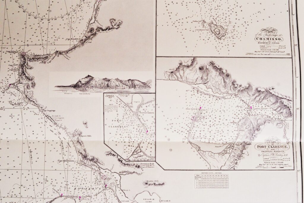
North America, West Coast Alaska – Bering Street British Admiralty Chart 593, published in 1907
Very detailed and authentic chart of the Bering Street between Alaska and Russia. With beautiful views of snowy mountains. Authentic, unused sea chart, no copy, with names as Cape Prince of Wales, Cape York, Cape Lisburne. On thick paper, folded as issued, suitable for framing. Sold together with BAC 654, the Western part of the Bering Street.
In our chartroom are to find hundreds of British Admiralty sea charts.
Fathom charts, issued before WWII, world wide. All in good condition, many unused.
Ask for the actual availability list.
Catalog: AC-593
Surveyed: 1826-1827
Published: 1907
Edition: 1923
Dimensions: standard 71×104 cm (28×41 in)
Condition: VG++, unused