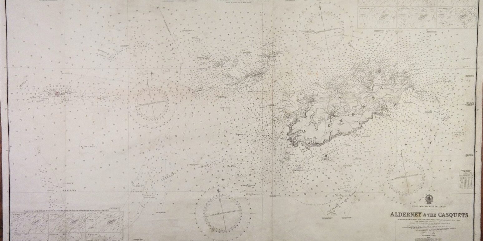
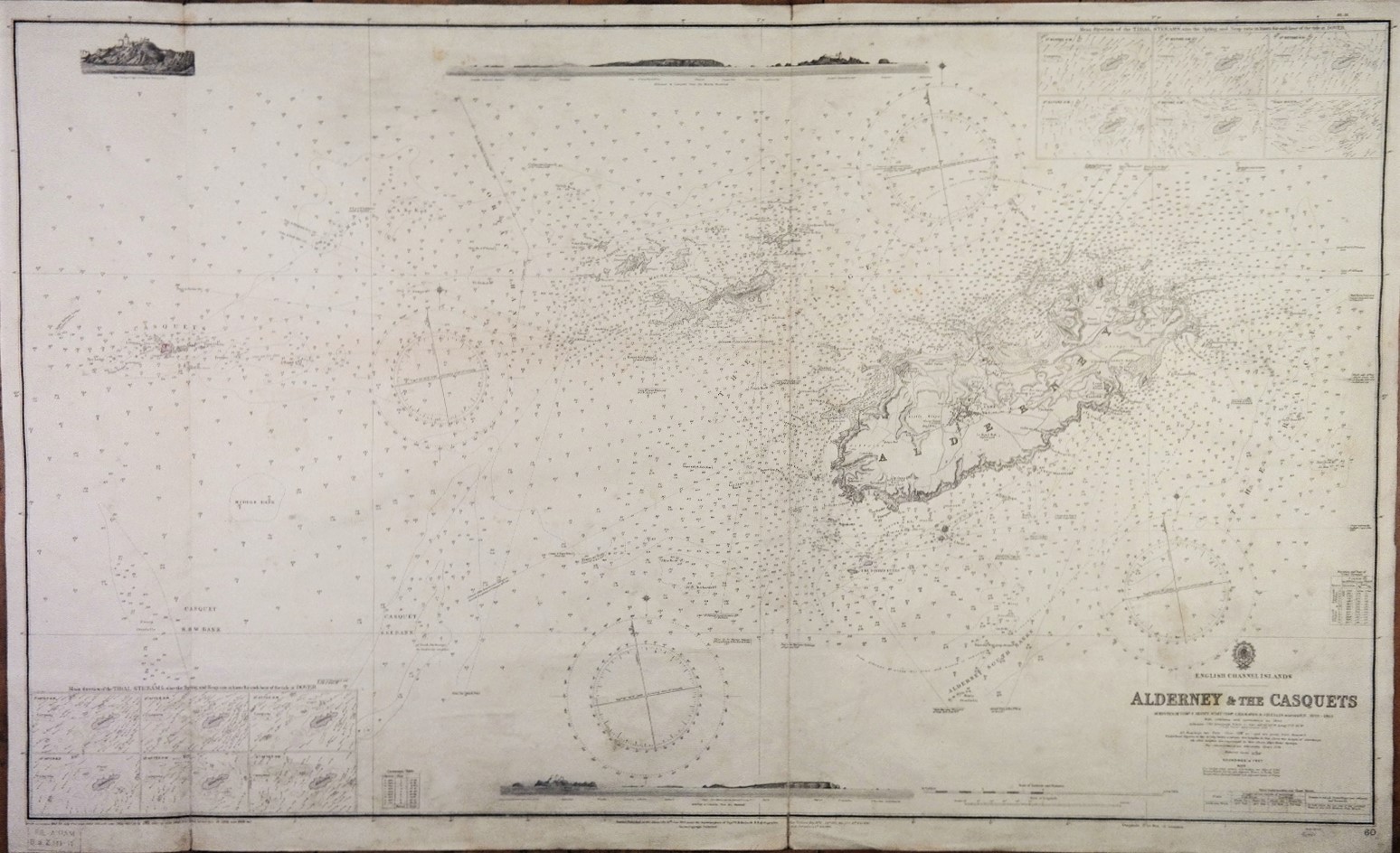
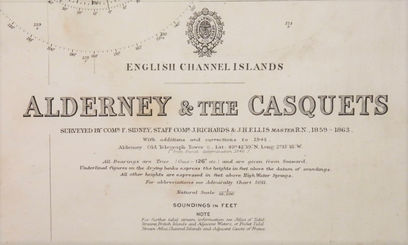
British British Admiralty Chart 60, published in 1865 English Channel Islands – Alderney & the Casquets
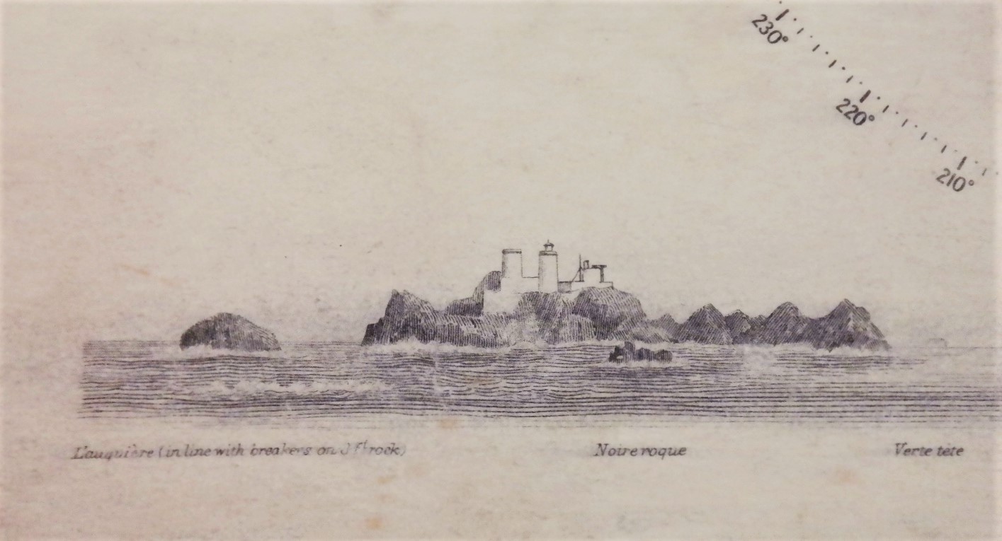
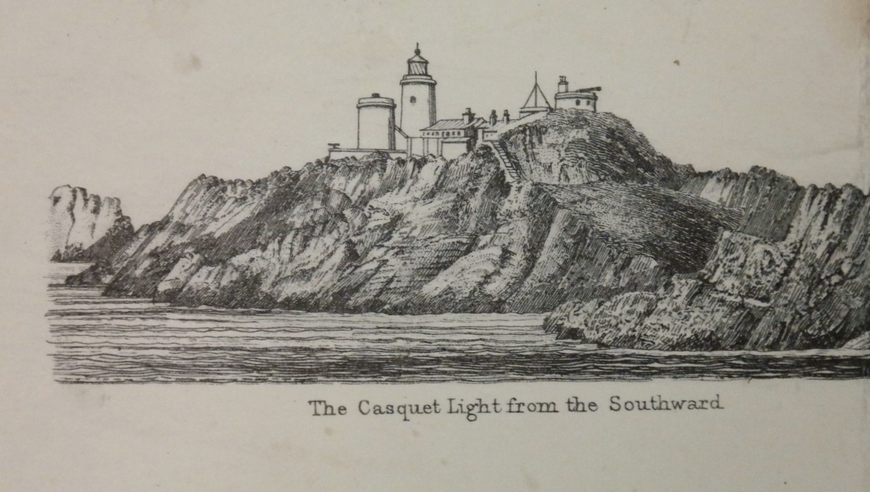
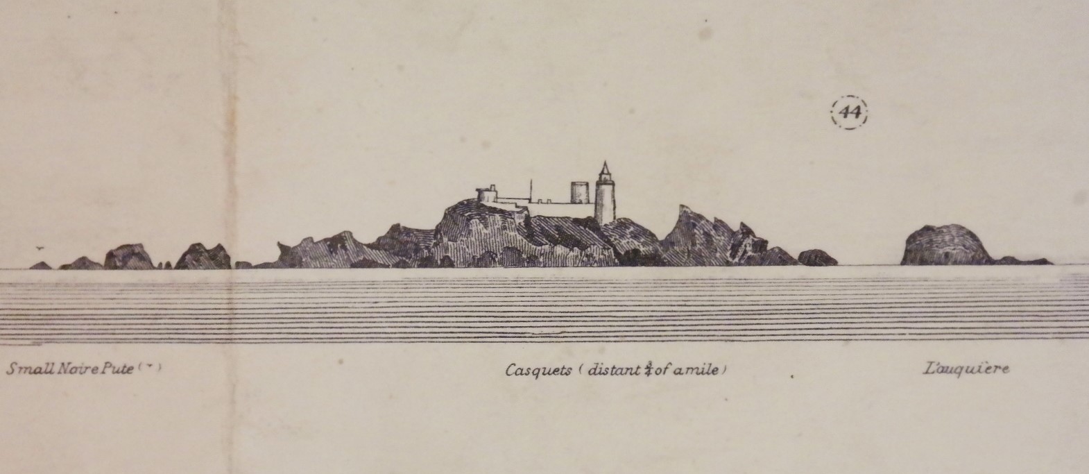
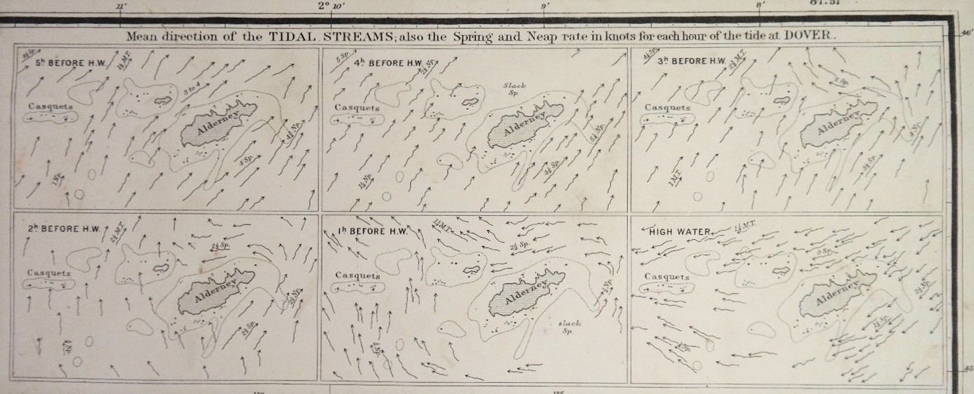
Impressive and very detailed chart of the Channel islands with beautiful views at the islands and the Casquet and Noir Rock lighthouse. Authentic, unused sea chart with Decca inprint. On thick paper, folded as issued, suitable for framing.
In our chartroom are to find hundreds of British Admiralty sea charts.
Fathom charts, issued before WWII, world wide. All in good condition, many unused.
Ask for the actual availability list.
Catalog: AC-60
Surveyed from 1859 – 1863
Published: 1865
Edition: 4
Dimensions: large, 71×134 cm (28×52,8 in)
Condition: G, widely used
