")
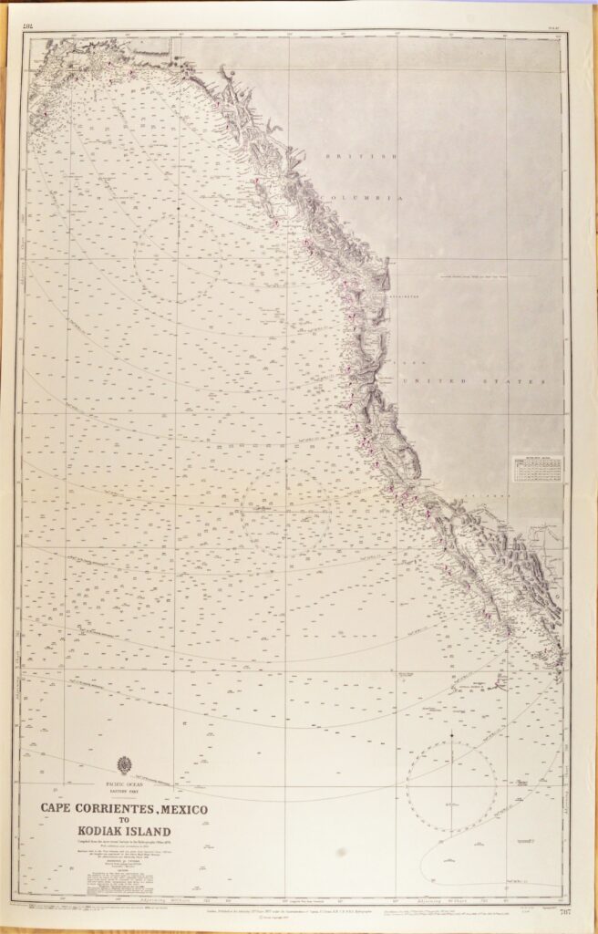
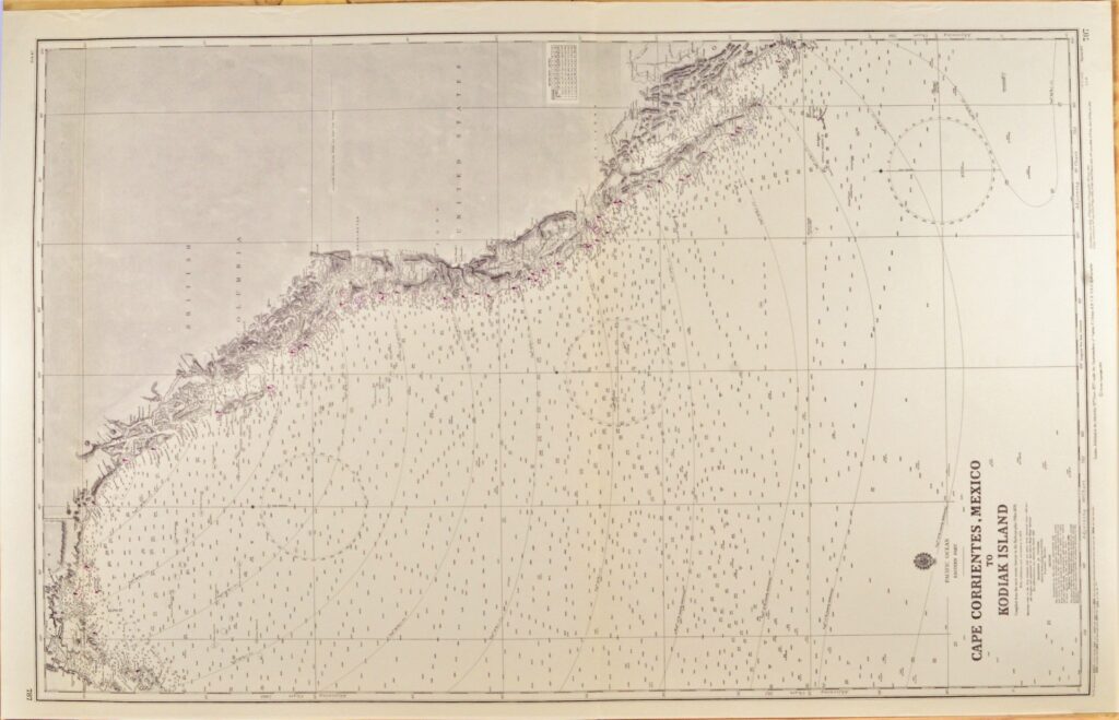
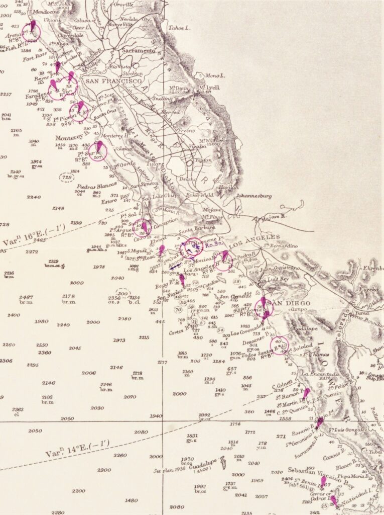
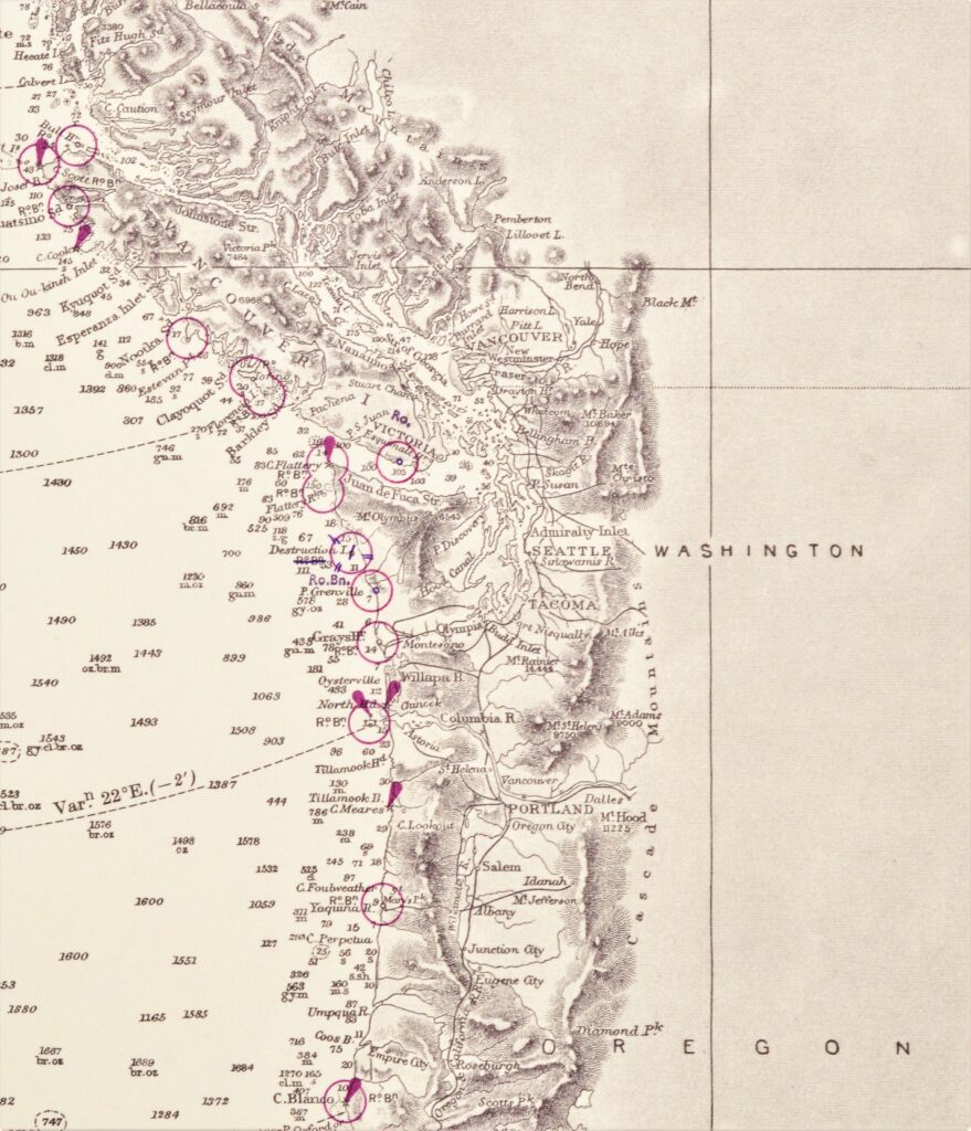
Pacific Ocean, West Coast USA – British Admiralty Chart 787, published 1877
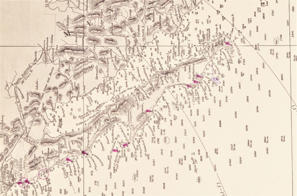
Authentic, unused cross over chart of the USA West Coast from California to British Columbia. With places like Los Angelos, San Diego, San Fransisco and Seattle. Authentic sea chart, no modern copy. On thick paper, fold as issued. Nice, fresh specimen, suitable for framing.
In our chartroom are to find hundreds of British Admiralty sea charts.
Fathom charts, issued before WWII, world wide. All in good condition, many unused.
Ask for the actual availability list.
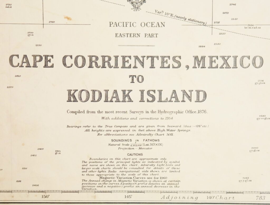
Compiled of the latest information in the Hydrographic Department in 1876
Catalog: AC-787
Published: 1877
Edition: 1922
Dimensions: large, 71×112 cm (28×44 in)
Condition: VG++, unused, margins right side slightly wrinkled
Verso: clean, stamped title, stamp with correction data