")
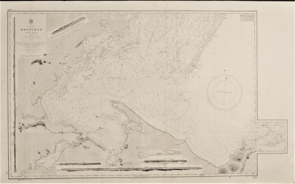
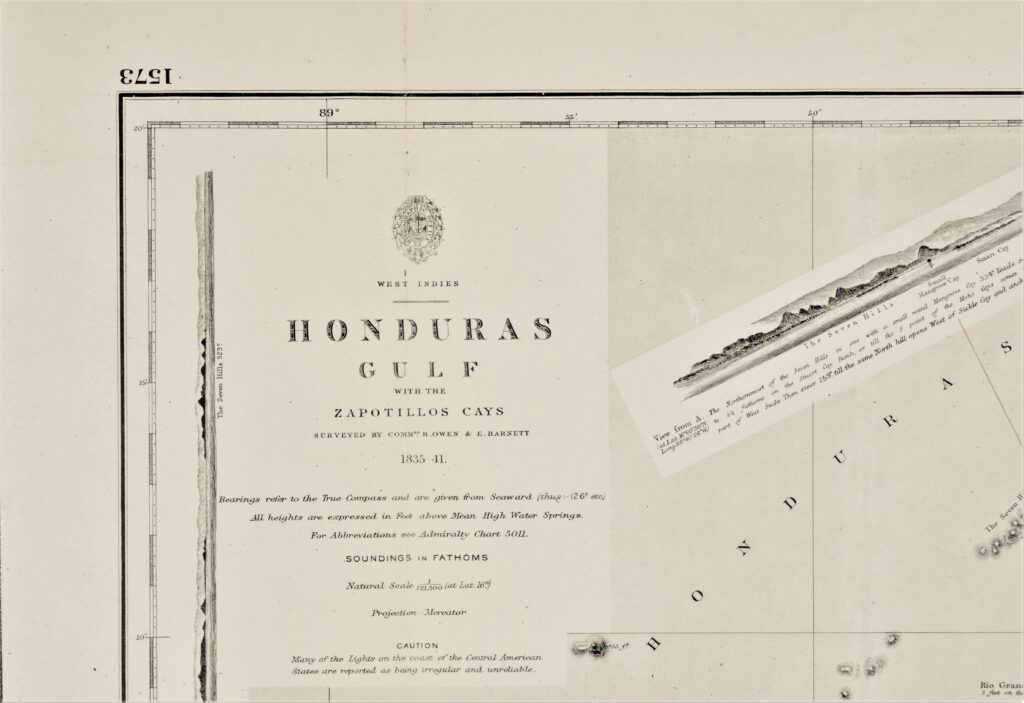

West-Indies – Honduras Gulf – British Admiralty Chart 1573, published in 1844
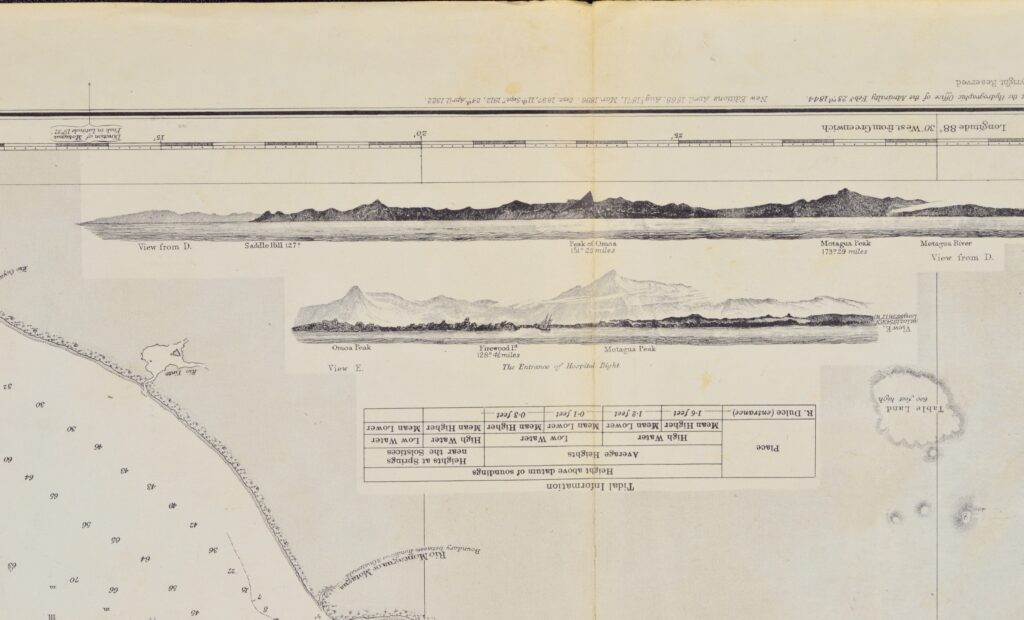
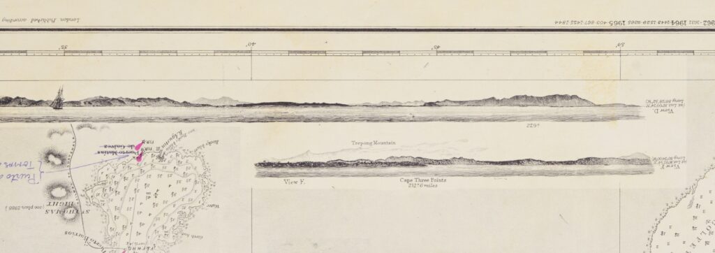
Very detailed and early chart of the coast of Honduras with beautiful land views. The first surveys are from 1835 and 1841 by the Commanders R. Owen and E. Barnett. With tidal information. Authentic, very detailed sea chart, no modern copy. On thick paper, folded as issued, suitable for framing. Nice, fresh specimen.
In our chartroom are to find hundreds of British Admiralty sea charts.
Fathom charts, issued before WWII, world wide. All in good condition, many unused.
Ask for the actual availability list.
Catalog: AC-1573
Published: 1844
Edition: 1922
Dimensions: large 71×116 cm (28×45.5 in)
Condition: G, very little used
Verso: clean, printed title, stamps with correction data