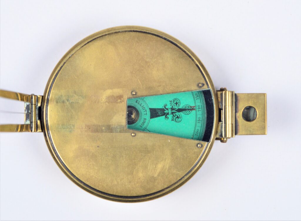
Hand azimuth and bearing compass – Elliott, London, around 1870
Very nice brass azimut and bearing compass made by Elliott Brothers in London. Everything is present. The folding sight vane and prism, the unusual pale green paper dial, the protective cover. Given the engraving on the back, the instrument was the property of E.H.J. Calder. Catalogue: NM.5-18 Date: around 1860 D: 72 mm Signed: Elliott…
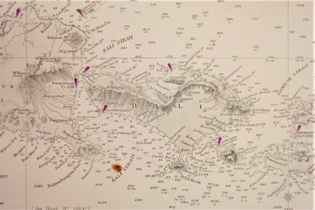
Read MoreEastern Archipelago – the Western and Eastern portions of the Dutch Indies British Admiralty Chart 941a/b and 942a/b in 4 sheets, published 1867 – 1920
Four consecutive and detailed charts with the whole Indonesian archipelago from Singapore to Australia, including the southern and eastern passages to China and the Java, Flores and Banda Seas. Catalog: AC-941 Survey, compiled from the most recent British and Netherlands surveys Published: 1867/1868 Edition: Dimensions: standard 71×104 cm (28×41 in) Condition: VG-G
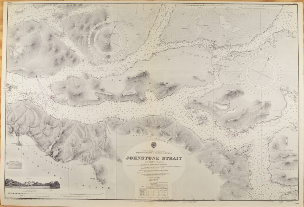
Read MoreVancouver Island – British Columbia British Admiralty Chart 3260, published 1902
Hardly used, small scale chart, of the Johnstone Strait in British Columbia with Vancouver Island and Thurlow island. With beautiful engraved view at the Halifax Range. Authentic sea chart, no copy. On thick paper, folded as issued, suitable for framing. In our chartroom are to find hundreds of British Admiralty sea charts. Fathom charts, issued…
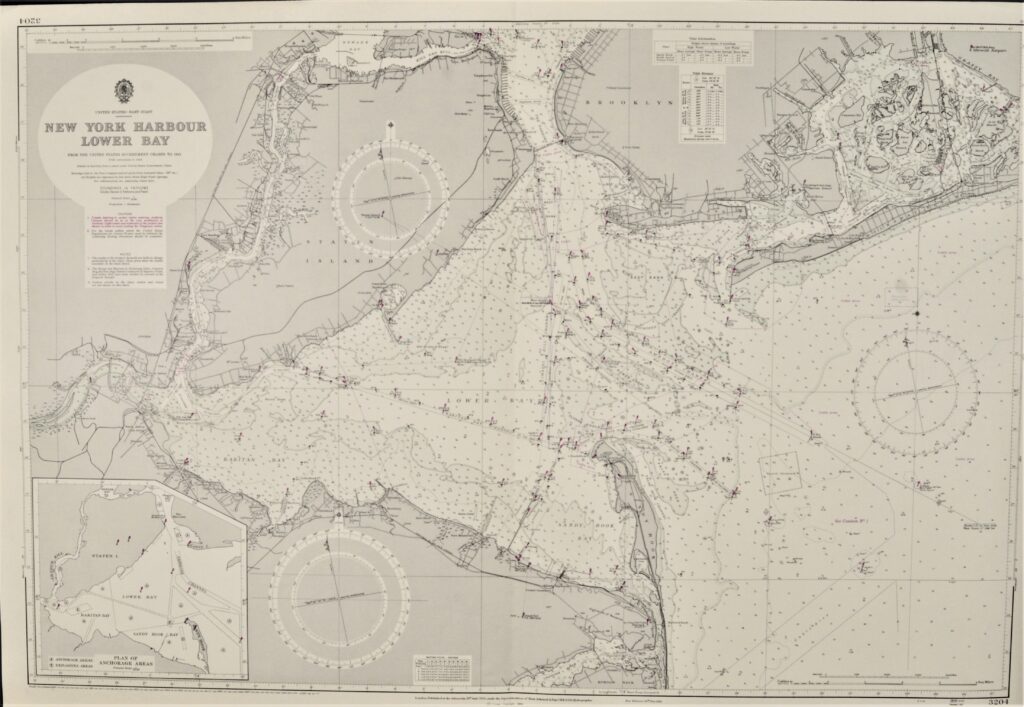
Read MoreNew York Harour, Lower Bay – United States British Admiralty Chart 3204, published 1950
Unused and very detailed sea chart of the entrance to the New York harbour and the Narrows. Authentic, small scale sea chart, no modern copy. On thick paper, folded as issued, suitable for framing. Together with 2580. In our chartroom are to find hundreds of British Admiralty sea charts. Fathom charts, issued before WWII, world…
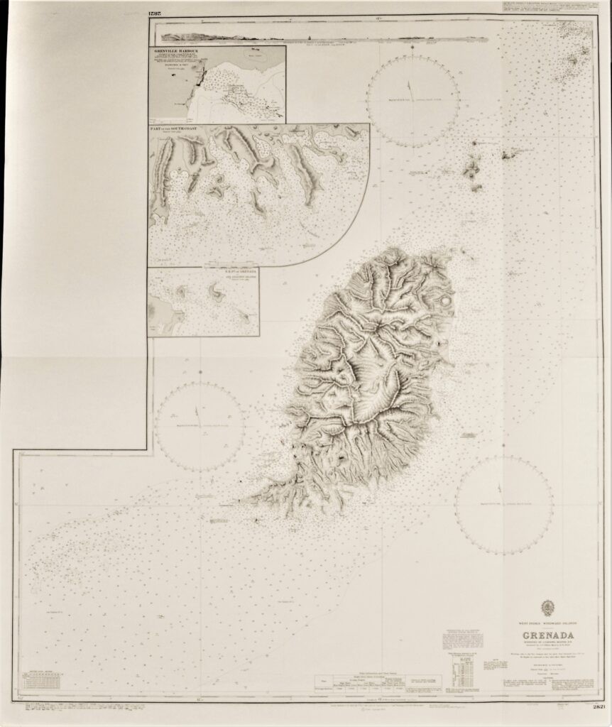
Read MoreGranada, West-Indies – Windward Islands British Admiralty Chart 2821, published in 1861
Impressive, unused, large scale chart of Grenada. The first surveys are from 1859 by J. Parsons, Master. Tidal information is mentioned for the most important ports. Authentic, very detailed sea chart, no modern copy. On thick paper, folded as issued, suitable for framing. Nice, fresh specimen. In our chartroom are to find hundreds of British…
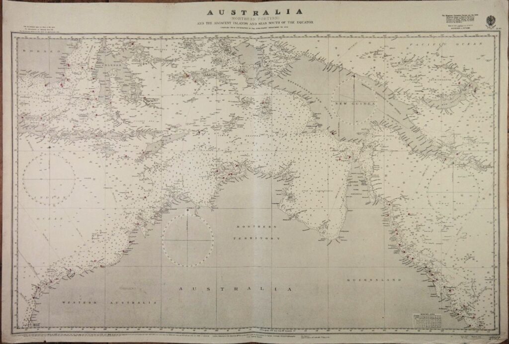
Read MoreAustralia, Northern Portion British Admiralty Chart 2759a, published in 1934
Authentic chart published in 1934 with small corrections till 1947. Northern Part of Australia with Netherlands New Guinea and the eastern part of the Dutch Indies. In our chartroom are to find hundreds of British Admiralty sea charts. Fathom charts, issued before WWII, world wide. All in good condition, many unused. Ask for the actual…
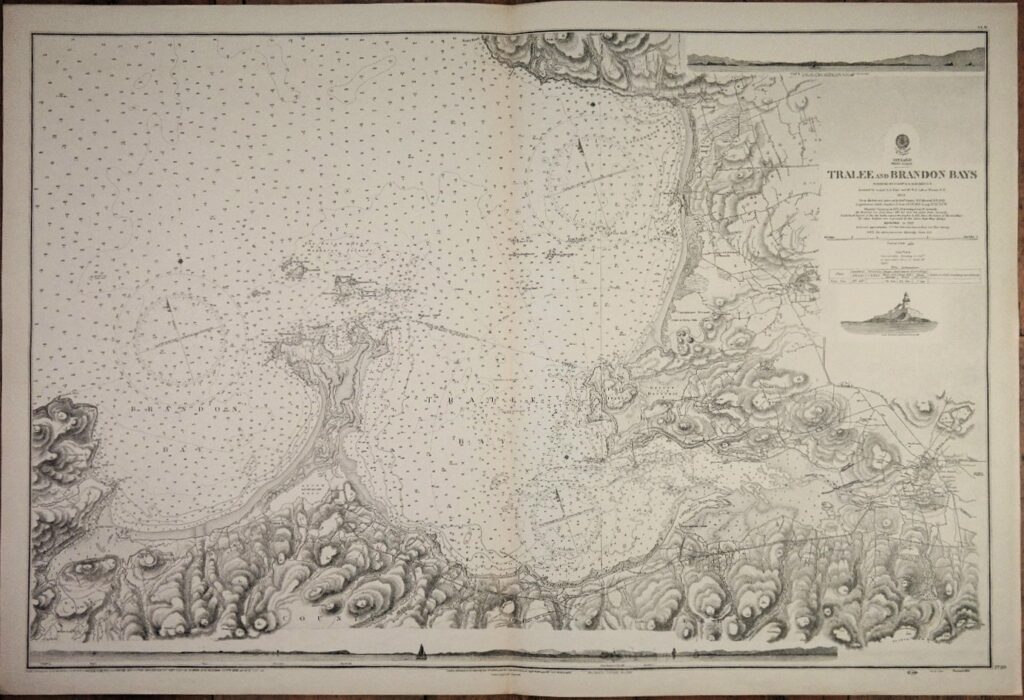
Read MoreIreland West Coast – Tralee and Brandon Bays British Admiralty Chart 2739, published in 1855
Authentic chart first published in 1860. With small corrections till 1951. Chart with beautiful details. Sailing ships, land views, ligthhouses, tidal information and so on. In our chartroom are to find hundreds of British Admiralty sea charts. Fathom charts, issued before WWII, world wide. All in good condition, many unused. Ask for the actual availability…
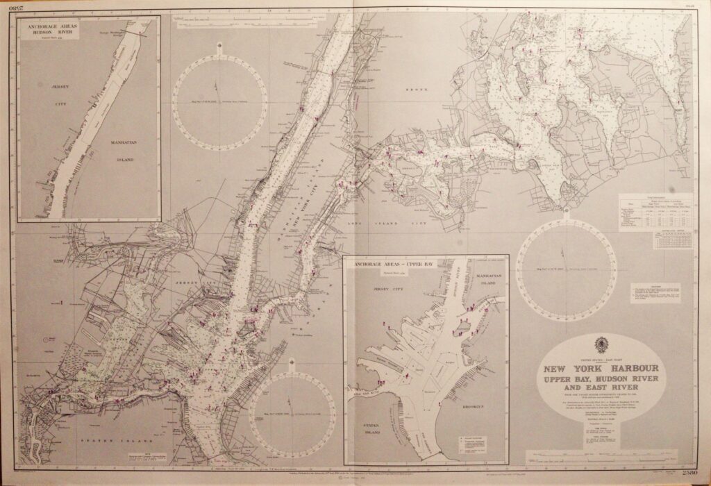
Read MoreNew York Harbour, Upper Bay – United States British Admiralty Chart 2580, published 1950
Unused and very detailed sea chart of the New York harbour and Hudson River. With beautiful engraved view of the NE entrance of the channel. Authentic sea chart, no modern copy. On thick paper, folded as issued, suitable for framing. Together with AC 3204. In our chartroom are to find hundreds of British Admiralty sea…
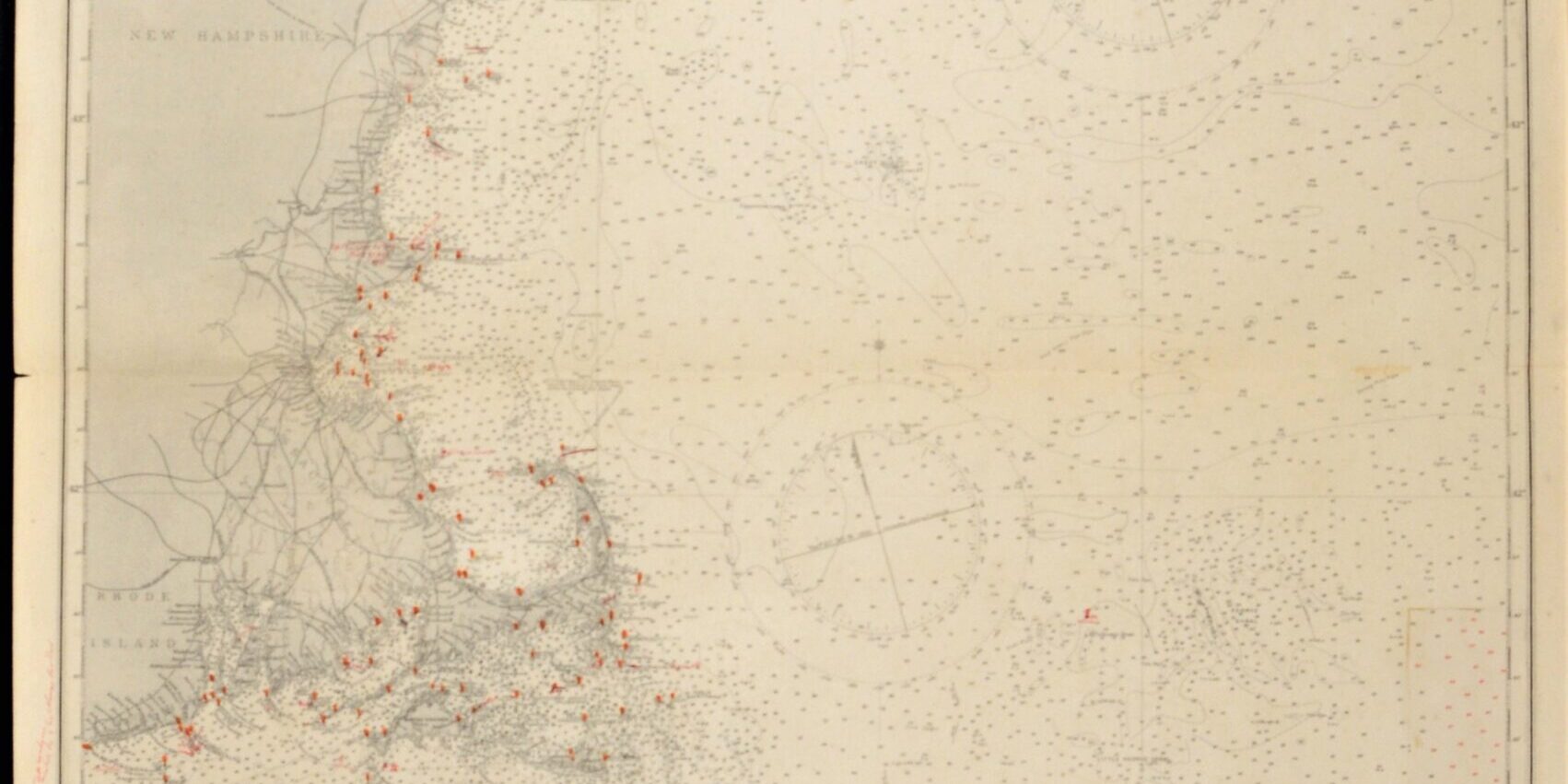
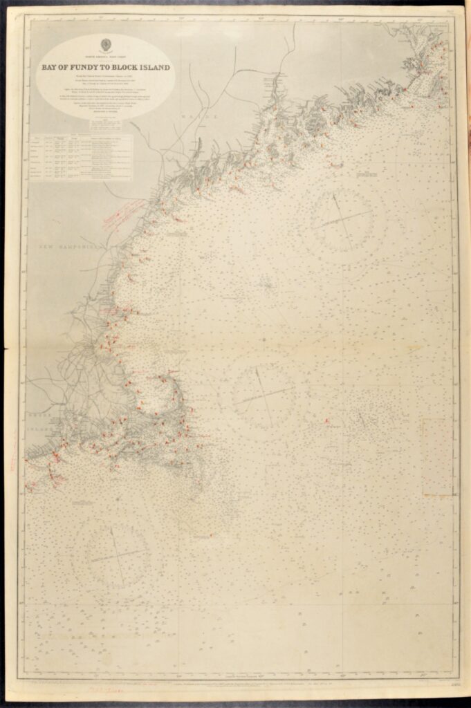
Read MoreUnited States East Coast – Block Island, Nantucket, Rhode Island British Admiralty Chart 2492, published 1887
Hardly used, small scale chart, of the North East coast of North America with Rhode Island, Nantucket, Portland, Boston and so on. The first surveys are from 1848 by Captain W.F.W. Owen. Tidal information is mentioned for the most important harbours on the North East coast of the US. Authentic, very detailed sea chart, no…
Read More