Chartroom
Archipel International Maritime Gallery is a gold mine for fans of old and antique sea charts. The collection consists mainly of British Admiralty Charts, but only a few are shown. If you are interested in a specific nautical chart, please do not hesitate to inquire. A up-to-date overview in excel is available. The charts are in good condition, most of them are not or little used.
The charts are valued as follows:
VG++ unused chart
VG+ little used clean chart, light handling marks and creases
VG good sea chart, handling marks more emphatically present
G good sea chart with clearly present traces of use
G- historically interesting map but with flaws
Slight signs of use, small defects and repairs which do not detract the image of the chart, are not mentioned.
The dimensions of the charts are indicated with:
Standard size, 71×104 cm or 28×41 inch
Half size, 71×52 cm or 28×20,5 inch
Large size, 71 cm wide but larger then the standard format
The Hydrographic Office of the British Navy has been in existence since 1797. Over 3500 navigatinonal charts are published with supporting items such as Sailing Directions (Pilots), Tide Tables, Lights and radio Signal Lists. They give a complete world cover for shipping of every size. The surveys are mostly made by ships of the Royal Navy.
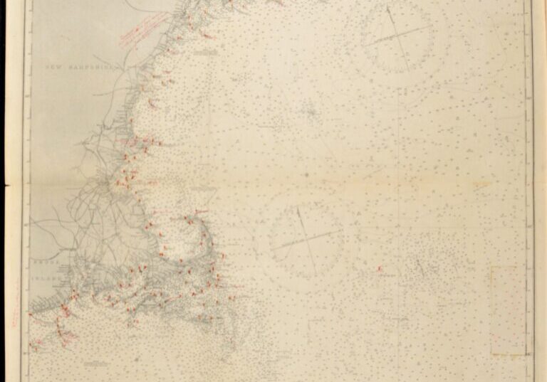
Hardly used, small scale chart, of the North East coast of North America with Rhode Island, Nantucket, Portland, Boston and so on. The first surveys are from 1848 by Captain W.F.W. Owen. Tidal information is mentioned for the most important harbours on the North East coast of the US. Authentic, very detailed sea chart, no modern copy. On thick paper, folded as issued, suitable for framing.
In our chartroom are to find hundreds of British Admiralty sea charts.
Fathom charts, issued before WWII, world wide. All in good condition, many unused.
Ask for the actual availability list.
Published: 1887
Edition: 1914
Dimensions: standard 71×104 cm (28×41 in)
Condition: VG+, very little used, fold as issued, tear at the bottom, practically invisible sealed on the back side
Verso: clean, little discoloration, title on label, some pencil notes
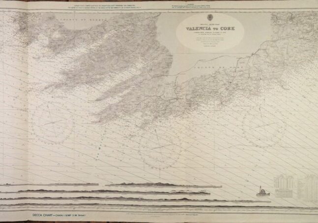
Unused chart of the South coast of Ireland with Cork in the North East and the Bantry Bay in the South West. Authentic chart, compiled from British Admiralty Surveys to 1908 with beautiful details, land views, the Fastnet ligthhouse, tidal information and so on. Nice and detailed sea chart, no modern copy. On thick paper, folded as issued, suitable for framing.
In our chartroom are to find hundreds of British Admiralty sea charts.
Fathom charts, issued before WWII, world wide. All in good condition, many unused.
Ask for the actual availability list.
Catalog: AC-2424
Published: 1908
Edition: 1rst publication
Dimensions: large 71×134 cm (28×52,8 in)
Condition: VG, used, inconspicuous defects
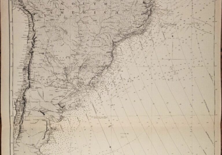
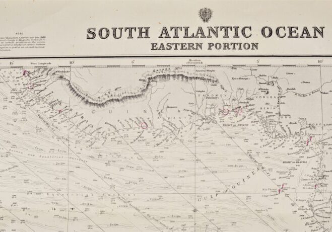
Authentic chart first published in 1871. With small corrections till 1947.
Chart with the Falklands, Suriname, Guiana and lines of equal variation.
In our chartroom are to find hundreds of British Admiralty sea charts.
Fathom charts, issued before WWII, world wide. All in good condition, many unused.
Catalog: AC-2202b
Published: 1871
Edition: 1930
Divergent dimensions: 71×104 cm (28×41 in)
Condition: VG, used, inconspicuous defects
Sold together with 2202a
Ask for the actual availability list.
Authentic chart first published in 1871. With small corrections till 1947.
Chart with the Falklands, Suriname, Guiana and lines of equal variation.
In our chartroom are to find hundreds of British Admiralty sea charts.
Fathom charts, issued before WWII, world wide. All in good condition, many unused.
Ask for the actual availability list.
Catalog: AC-2202a
Published: 1871
Edition: 1923
Divergent dimensions: 71×104 cm (28×41 in)
Condition: VG, used, inconspicuous defects
Sold together with 2202b
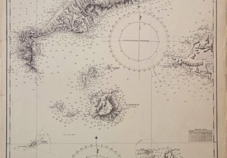
Nice and detailed chart of the island of Kos. With tidal information. Authentic, very detailed sea chart, no modern copy. On thick paper, folded as issued, suitable for framing. Nice, fresh specimen.
In our chartroom are to find hundreds of British Admiralty sea charts.
Fathom charts, issued before WWII, world wide. All in good condition, many unused.
Ask for the actual availability list.
Catalog: AC-1898
Published: 1848
Edition: 1864
Dimensions: 70×52 cm
Condition: G, small restaurations on both sides
Verso: clean, printed title, correction stamps
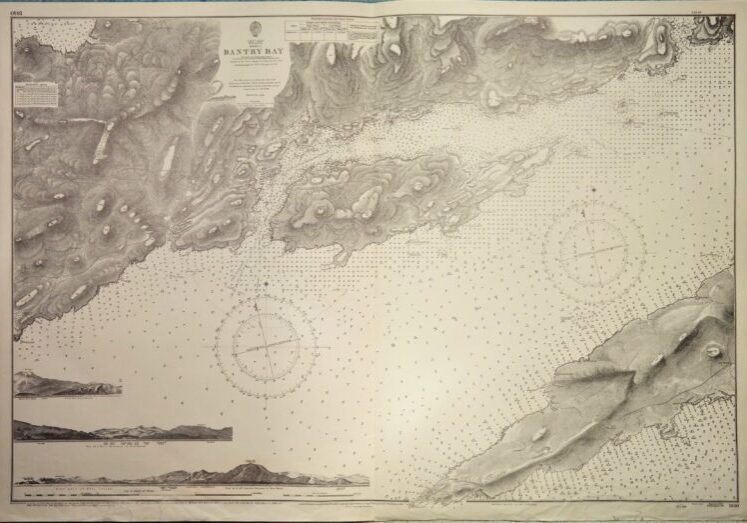
Impressive and detailed chart of the Bantry Bay in two sheets with land views and light lines. With tidal information. Authentic, very detailed sea chart, no modern copy. On thick paper, folded as issued, suitable for framing. Nice, fresh specimen.
In our chartroom are to find hundreds of British Admiralty sea charts.
Fathom charts, issued before WWII, world wide. All in good condition, many unused.
Ask for the actual availability list.
Catalog: AC-1840
Published: 1856
Edition: 1912
Dimensions: standard
Condition: VG++, unused
Verso: clean, printed title, correction stamp
Sold together with 1838.
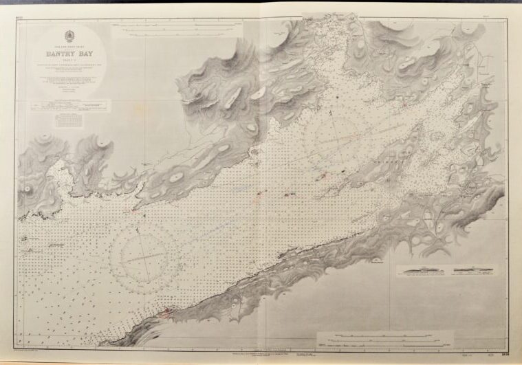
Impressive and detailed chart of the Bantry Bay in two sheets with land views and light lines. With tidal information. Authentic, very detailed sea chart, no modern copy. On thick paper, folded as issued, suitable for framing. Nice, fresh specimen.
In our chartroom are to find hundreds of British Admiralty sea charts.
Fathom charts, issued before WWII, world wide. All in good condition, many unused.
Ask for the actual availability list.
Catalog: AC-1838
Published: 1847
Edition: 1868
Dimensions: standard
Condition: VG++, unused
Verso: clean, printed title, correction stamp
Sold together with 1840.
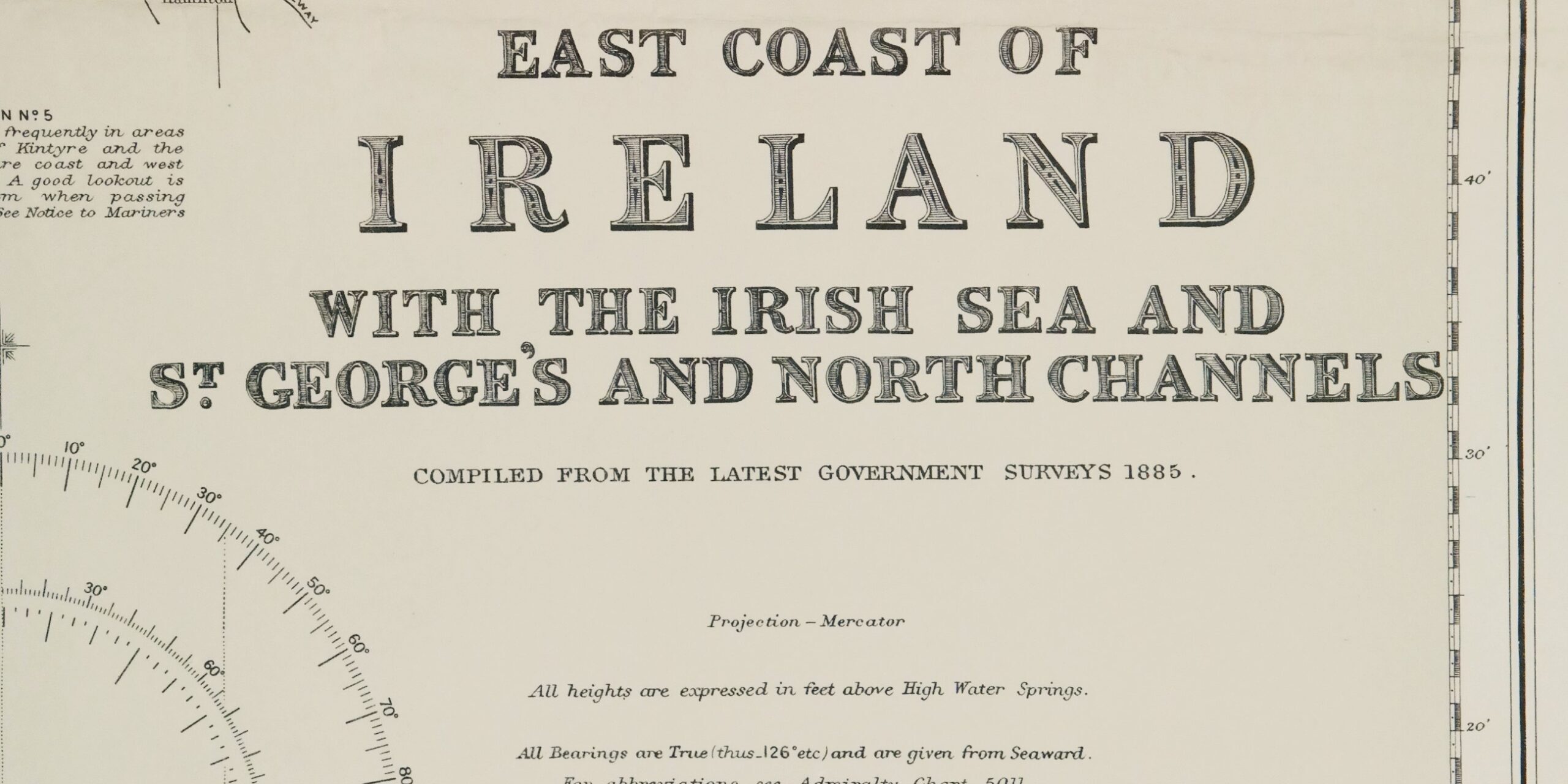
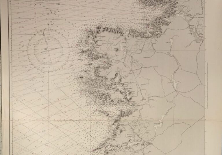
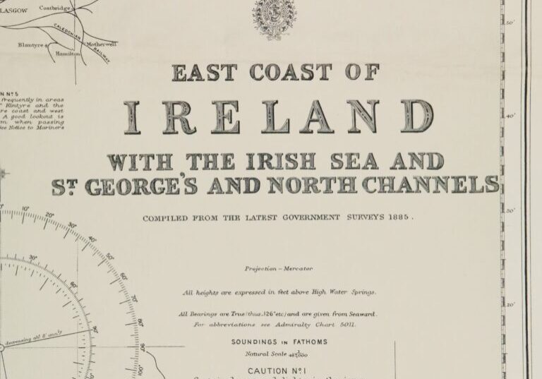
Detailed and early chart of the East coast of Ireland with decca inprint. The first surveys are from 1844 -1861, made by Captains Frazer and bedford. With tidal information. Authentic, very detailed sea chart, no modern copy. On thick paper, folded as issued, suitable for framing. Nice, fresh specimen.
In our chartroom are to find hundreds of British Admiralty sea charts.
Fathom charts, issued before WWII, world wide. All in good condition, many unused.
Ask for the actual availability list.
Catalog: AC-1824b
Published: 1862
Edition: 1969
Dimensions: large 71×129 cm
Condition: VG+, unused
Verso: clean, printed title, corretion stamp
Sold together with 1824a.
Detailed and early chart of the West coast of Ireland. The first surveys are from 1885. With tidal information. Authentic, very detailed sea chart, no modern copy. On thick paper, folded as issued, suitable for framing. Nice, fresh specimen.
In our chartroom are to find hundreds of British Admiralty sea charts.
Fathom charts, issued before WWII, world wide. All in good condition, many unused.
Ask for the actual availability list.
Catalog: AC-1824a
Published: 1886
Edition: 1925
Dimensions: large 71×129 cm
Condition: VG+, unused
Verso: clean, printed title, correction stamp
Sold together with 1824b.
