Chartroom
Archipel International Maritime Gallery is a gold mine for fans of old and antique sea charts. The collection consists mainly of British Admiralty Charts, but only a few are shown. If you are interested in a specific nautical chart, please do not hesitate to inquire. A up-to-date overview in excel is available. The charts are in good condition, most of them are not or little used.
The charts are valued as follows:
VG++ unused chart
VG+ little used clean chart, light handling marks and creases
VG good sea chart, handling marks more emphatically present
G good sea chart with clearly present traces of use
G- historically interesting map but with flaws
Slight signs of use, small defects and repairs which do not detract the image of the chart, are not mentioned.
The dimensions of the charts are indicated with:
Standard size, 71×104 cm or 28×41 inch
Half size, 71×52 cm or 28×20,5 inch
Large size, 71 cm wide but larger then the standard format
The Hydrographic Office of the British Navy has been in existence since 1797. Over 3500 navigatinonal charts are published with supporting items such as Sailing Directions (Pilots), Tide Tables, Lights and radio Signal Lists. They give a complete world cover for shipping of every size. The surveys are mostly made by ships of the Royal Navy.
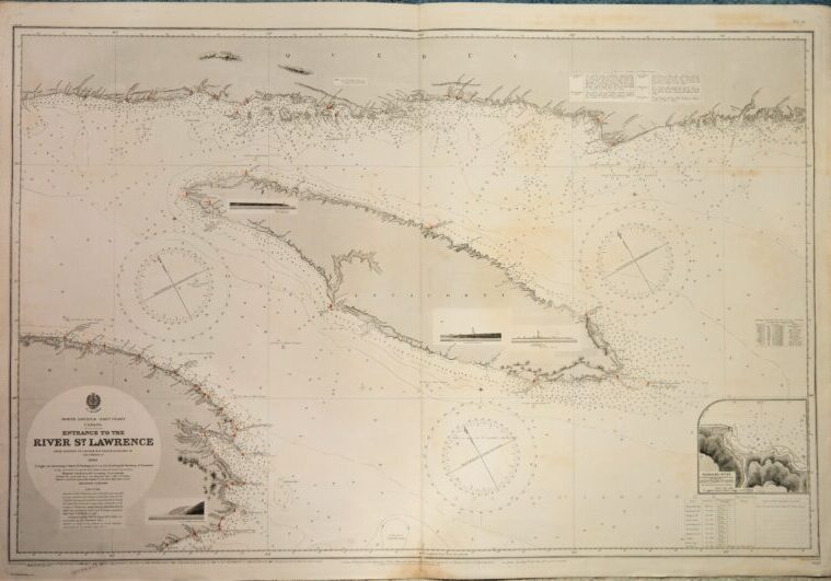
Detailed and early chart of the entrance of the St. Lawrence river with nice land views. The first surveys are from 1832 and 1846 by Captain H.W. Bayfield. With tidal information. Authentic, very detailed sea chart, no modern copy. On thick paper, folded as issued, suitable for framing. Nice, fresh specimen.
In our chartroom are to find hundreds of British Admiralty sea charts.
Fathom charts, issued before WWII, world wide. All in good condition, many unused.
Ask for the actual availability list.
Catalog: AC-1621
Published: 1891
Edition: 1917
Dimensions: large 71×116 cm (28×45.5 in)
Condition: VG, very little used, small reastauration on middle fold
Verso: clean, printed title, the C of cancelled
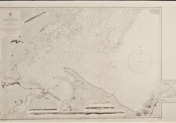
Very detailed and early chart of the coast of Honduras with beautiful land views. The first surveys are from 1835 and 1841 by the Commanders R. Owen and E. Barnett. With tidal information. Authentic, very detailed sea chart, no modern copy. On thick paper, folded as issued, suitable for framing. Nice, fresh specimen.
In our chartroom are to find hundreds of British Admiralty sea charts.
Fathom charts, issued before WWII, world wide. All in good condition, many unused.
Ask for the actual availability list.
Catalog: AC-1573
Published: 1844
Edition: 1922
Dimensions: large 71×116 cm (28×45.5 in)
Condition: G, very little used
Verso: clean, printed title, stamps with correction data
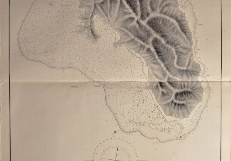
Detailed, unused and early chart of Ngau Island with beatiful view at the island. The first surveys are from 1854 by Captain H.M. Den Ham. Authentic, very detailed sea chart, no modern copy. On thick paper, not folded, suitable for framing. Nice, fresh specimen.
In our chartroom are to find hundreds of British Admiralty sea charts.
Fathom charts, issued before WWII, world wide. All in good condition, many unused.
Ask for the actual availability list.
Catalog: AC-1251
Published: 1866
Edition: 1rst
Dimensions: 52×71 cm
Condition: VG++, unused
Verso: clean, label with title, stamps with correction data
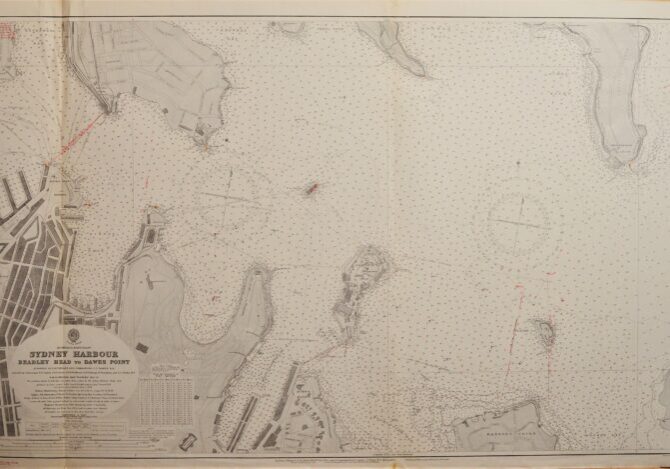
Unused large scale and very detailed chart of the port of Sydney, West part. Authentic, very detailed sea chart, no modern copy. On thick paper, folded as issued, suitable for framing. Nice, fresh specimen.
In our chartroom are to find hundreds of British Admiralty sea charts.
Fathom charts, issued before WWII, world wide. All in good condition, many unused.
Ask for the actual availability list.
Catalog: AC-1207
Published: 1915
Edition: 1925
Dimensions: standard 71×127 cm
Condition: VG++
Verso: clean, title on label
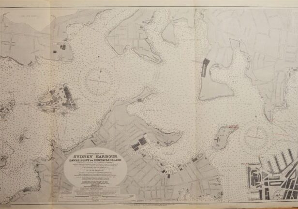
Unused large scale and very detailed chart of the port of Sydney, East part. Authentic, very detailed sea chart, no modern copy. On thick paper, folded as issued, suitable for framing. Nice, fresh specimen.
In our chartroom are to find hundreds of British Admiralty sea charts.
Fathom charts, issued before WWII, world wide. All in good condition, many unused.
Ask for the actual availability list.
Catalog: AC-1206
Published: 1915
Edition: 1925
Dimensions: standard 71×117 cm
Condition: VG+
Verso: clean, title on label
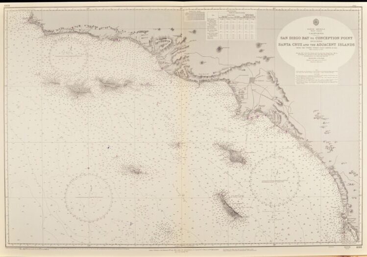
Unused, small scale chart, of the West coast of North America with Los Angeles, San Diego, Santa Barbara and the islands off the coast. Tidal information is mentioned for the most important ports. Authentic, very detailed sea chart, no modern copy. On thick paper, folded as issued, suitable for framing. Nice, fresh specimen.
In our chartroom are to find hundreds of British Admiralty sea charts.
Fathom charts, issued before WWII, world wide. All in good condition, many unused.
Ask for the actual availability list.
Catalog: AC-899
Published: 1885
Edition: 1928
Dimensions: standard 71×104 cm (28×41 in)
Condition: VG++, unused
Verso: clean, printed title, stamp of Nautical and Meteorological Institute Amsterdam
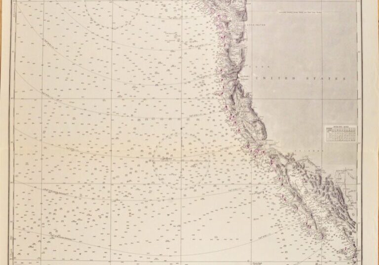
Authentic, unused cross over chart of the USA West Coast from California to British Columbia. With places like Los Angelos, San Diego, San Fransisco and Seattle. Authentic sea chart, no modern copy. On thick paper, fold as issued. Nice, fresh specimen, suitable for framing.
In our chartroom are to find hundreds of British Admiralty sea charts.
Fathom charts, issued before WWII, world wide. All in good condition, many unused.
Ask for the actual availability list.
Compiled of the latest information in the Hydrographic Department in 1876
Catalog: AC-787
Published: 1877
Edition: 1922
Dimensions: large, 71×112 cm (28×44 in)
Condition: VG++, unused, margins right side slightly wrinkled
Verso: clean, stamped title, stamp with correction data
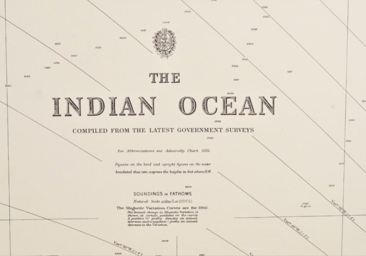
Two authentic and very large cross over charts of the Indian Ocean between Africa and Australia. And from the Himalaya in the North to the Roaring Fourties and the Furious Fifties in the South. Authentic sea charts, no copies, with two NtM corrections. On thick paper, folded as issued, suitable for framing.
In our chartroom are to find hundreds of British Admiralty sea charts.
Fathom charts, issued before WWII, world wide. All in good condition, many unused.
Ask for the actual availability list.
Compiled of the latest Government surveys
Catalog: AC-748
Published: 1870
Edition: 1923
Dimensions: large, 71×136 cm (28×53,5 in)
Condition: VG+, very little used, 748B with small, hardly visible restauration lower edge
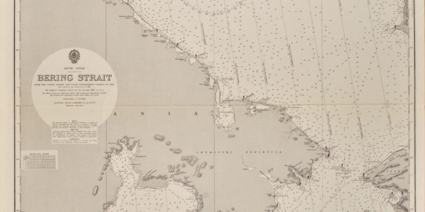
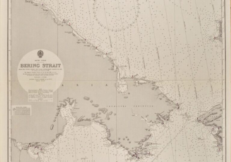
Very detailed and authentic chart of the Western part of the Bering Street between Alaska and Russia. Authentic, unused sea chart, no copy. On thick paper, folded as issued, suitable for framing. Together with BAC 593, the Eastern part of the Bering Street.
In our chartroom are to find hundreds of British Admiralty sea charts.
Fathom charts, issued before WWII, world wide. All in good condition, many unused.
Ask for the actual availability list.
Catalog: AC-654
Published: 1884
Edition: 1917
Dimensions: standard 71×104 cm (28×41 in)
Condition: VG++, unused
