")
Sydney Harbour – Australia – East Coast British Admiralty Chart 1206, published 1915

Unused large scale and very detailed chart of the port of Sydney, East part. Authentic, very detailed sea chart, no modern copy. On thick paper, folded as issued, suitable for framing. Nice, fresh specimen. In our chartroom are to find hundreds of British Admiralty sea charts. Fathom charts, issued before WWII, world wide. All in…
Read MoreLos Angeles, California – Pacific Coast North America British Admiralty Chart 899, published 1885
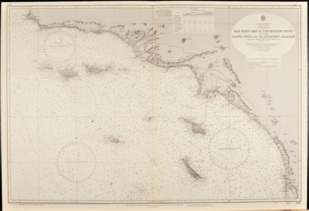
Unused, small scale chart, of the West coast of North America with Los Angeles, San Diego, Santa Barbara and the islands off the coast. Tidal information is mentioned for the most important ports. Authentic, very detailed sea chart, no modern copy. On thick paper, folded as issued, suitable for framing. Nice, fresh specimen. In our…
Read MorePacific Ocean – West Coast USA British Admiralty Chart 787, published 1877
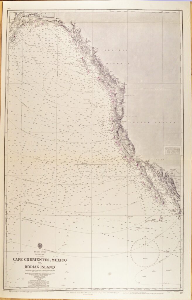
Authentic, unused cross over chart of the USA West Coast from California to British Columbia. With places like Los Angelos, San Diego, San Fransisco and Seattle. Authentic sea chart, no modern copy. On thick paper, fold as issued. Nice, fresh specimen, suitable for framing. In our chartroom are to find hundreds of British Admiralty sea…
Read MoreThe Indian Ocean in two sheets British Admiralty Chart 748A and B, published 1870
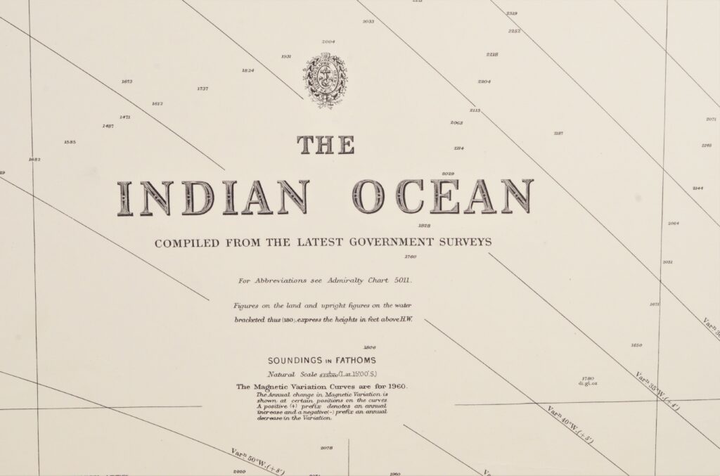
Two authentic and very large cross over charts of the Indian Ocean between Africa and Australia. And from the Himalaya in the North to the Roaring Fourties and the Furious Fifties in the South. Authentic sea charts, no copies, with two NtM corrections. On thick paper, folded as issued, suitable for framing. In our chartroom…
Read MoreArtic Ocean – Bering Street British Admiralty Chart 654, published 1884
Very detailed and authentic chart of the Western part of the Bering Street between Alaska and Russia. Authentic, unused sea chart, no copy. On thick paper, folded as issued, suitable for framing. Together with BAC 593, the Eastern part of the Bering Street. In our chartroom are to find hundreds of British Admiralty sea charts.…
Read MoreAfrica, South East Coast – Durban British Admiralty Chart 643, published 1924
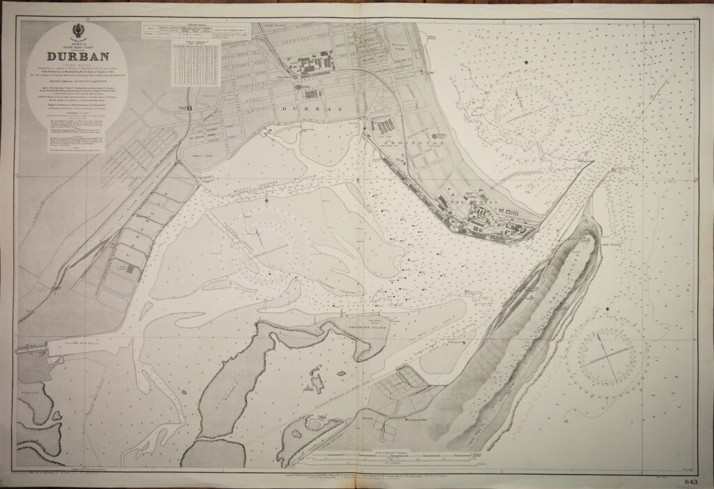
Very nice engraved and detailed sea chart of the port of Durban (Port Natal). Authentic, very detailed sea chart, no modern copy. On thick paper, folded as issued, suitable for framing. Nice, fresh specimen. In our chartroom are to find hundreds of British Admiralty sea charts. Fathom charts, issued before WWII, world wide. All in…
Read MoreNorth America, West Coast Alaska – Bering Street British Admiralty Chart 593, published in 1907

Very detailed and authentic chart of the Bering Street between Alaska and Russia. With beautiful views of snowy mountains. Authentic, unused sea chart, no copy, with names as Cape Prince of Wales, Cape York, Cape Lisburne. On thick paper, folded as issued, suitable for framing. Sold together with BAC 654, the Western part of the…
Read MoreSouth Pacific – Fiji Islands, Easren Group British Admiralty Chart 440, published 1883
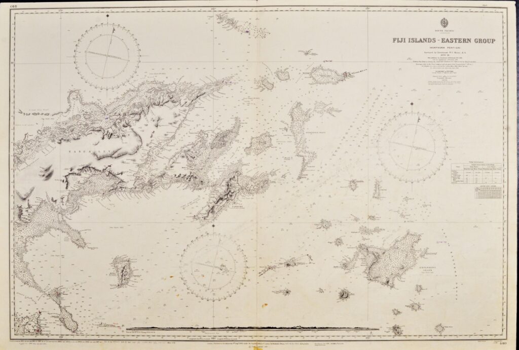
Very nice engraved and detailed sea chart of the Fiji Islands with land view of the Nasavusavu Bay. The first surveys are from 1878 to 1881 by Captain W.U. Moore. Tidal information is mentioned. Authentic, very detailed sea chart, no modern copy. On thick paper, folded as issued, suitable for framing. Nice, fresh specimen. In…
Read MoreBahama’s – West Indies British Admiralty Chart 399, published 1886
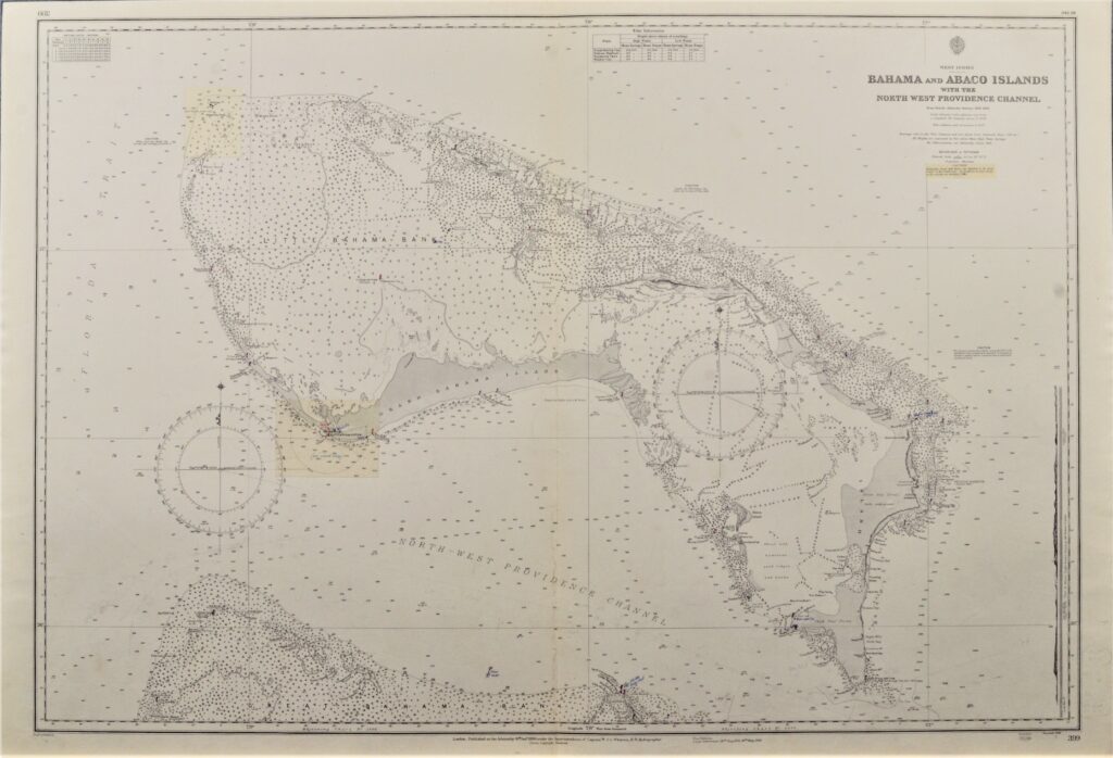
Hardly used, detailed sea chart of the Bahama’s and Abaco Islands. With beautiful engraved view of the Abaco light-house. The first surveys dates from 1835. Tidal information is mentioned for the most important ports. Authentic, very detailed sea chart, no modern copy. On thick paper, folded as issued, suitable for framing. Nice, fresh specimen. In…
Read More