Ireland South Coast – Valencia to Cork British Admiralty Chart 2424, published 1908
Unused chart of the South coast of Ireland with Cork in the North East and the Bantry Bay in the South West. Authentic chart, compiled from British Admiralty Surveys to 1908 with beautiful details, land views, the Fastnet ligthhouse, tidal information and so on. Nice and detailed sea chart, no modern copy. On thick paper,…
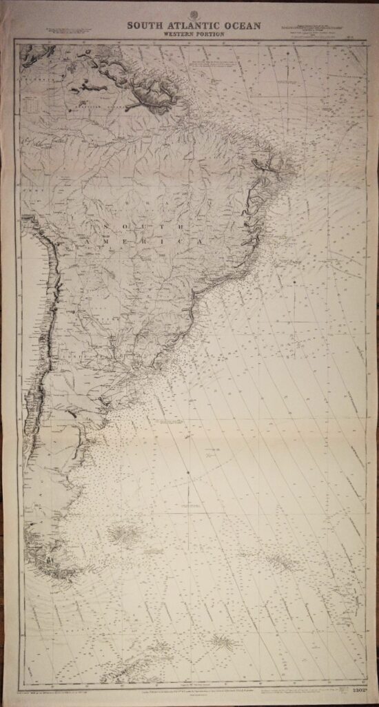
Read MoreSouth Atlantic Ocean – Western Portion British Admiralty Chart 2202b, published in 1871
Authentic chart first published in 1871. With small corrections till 1947. Chart with the Falklands, Suriname, Guiana and lines of equal variation. In our chartroom are to find hundreds of British Admiralty sea charts. Fathom charts, issued before WWII, world wide. All in good condition, many unused. Catalog: AC-2202b Published: 1871 Edition: 1930 Divergent dimensions:…
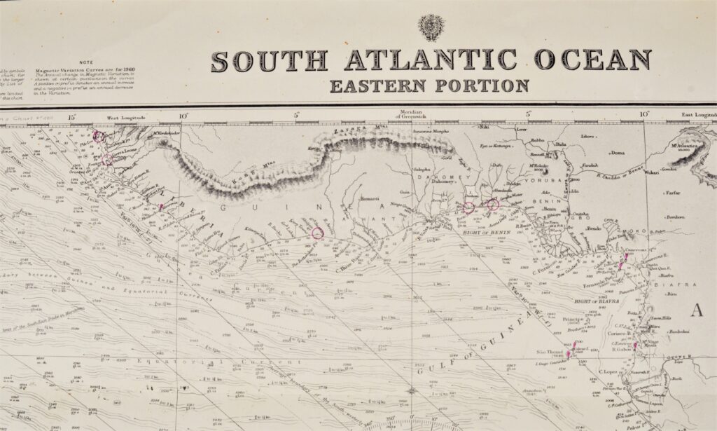
Read MoreSouth Atlantic Ocean – Eastern Portion British Admiralty Chart 2202a, published 1871
Authentic chart first published in 1871. With small corrections till 1947. Chart with the Falklands, Suriname, Guiana and lines of equal variation. In our chartroom are to find hundreds of British Admiralty sea charts. Fathom charts, issued before WWII, world wide. All in good condition, many unused. Ask for the actual availability list. Catalog: AC-2202a…
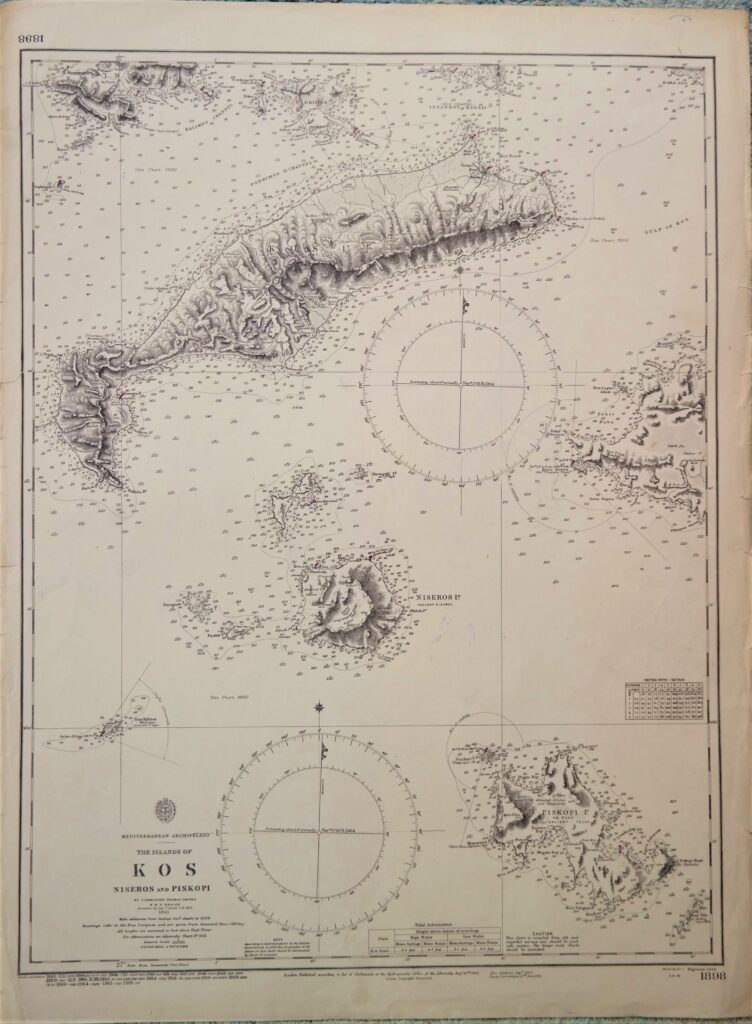
Read MoreGreece – Island of Kos, Mediterranean British Admiralty Chart 1898, published in 1848
Nice and detailed chart of the island of Kos. With tidal information. Authentic, very detailed sea chart, no modern copy. On thick paper, folded as issued, suitable for framing. Nice, fresh specimen. In our chartroom are to find hundreds of British Admiralty sea charts. Fathom charts, issued before WWII, world wide. All in good condition,…
Read MoreBantry Bay, sheet 1 – West Coast Ireland British Admiralty Chart 1840, published in 1856
Impressive and detailed chart of the Bantry Bay in two sheets with land views and light lines. With tidal information. Authentic, very detailed sea chart, no modern copy. On thick paper, folded as issued, suitable for framing. Nice, fresh specimen. In our chartroom are to find hundreds of British Admiralty sea charts. Fathom charts, issued…
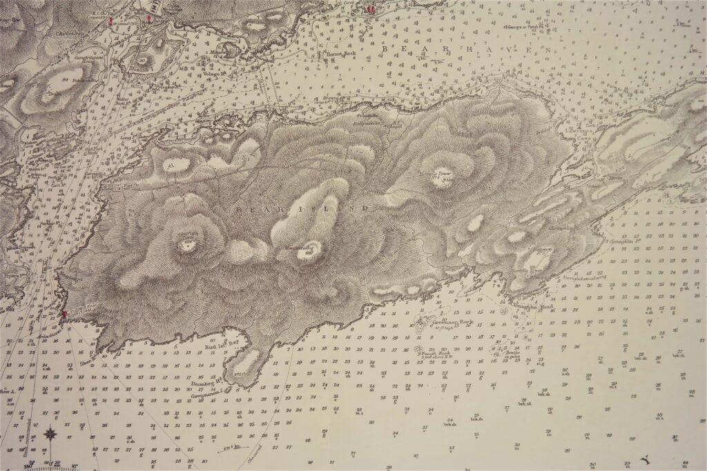
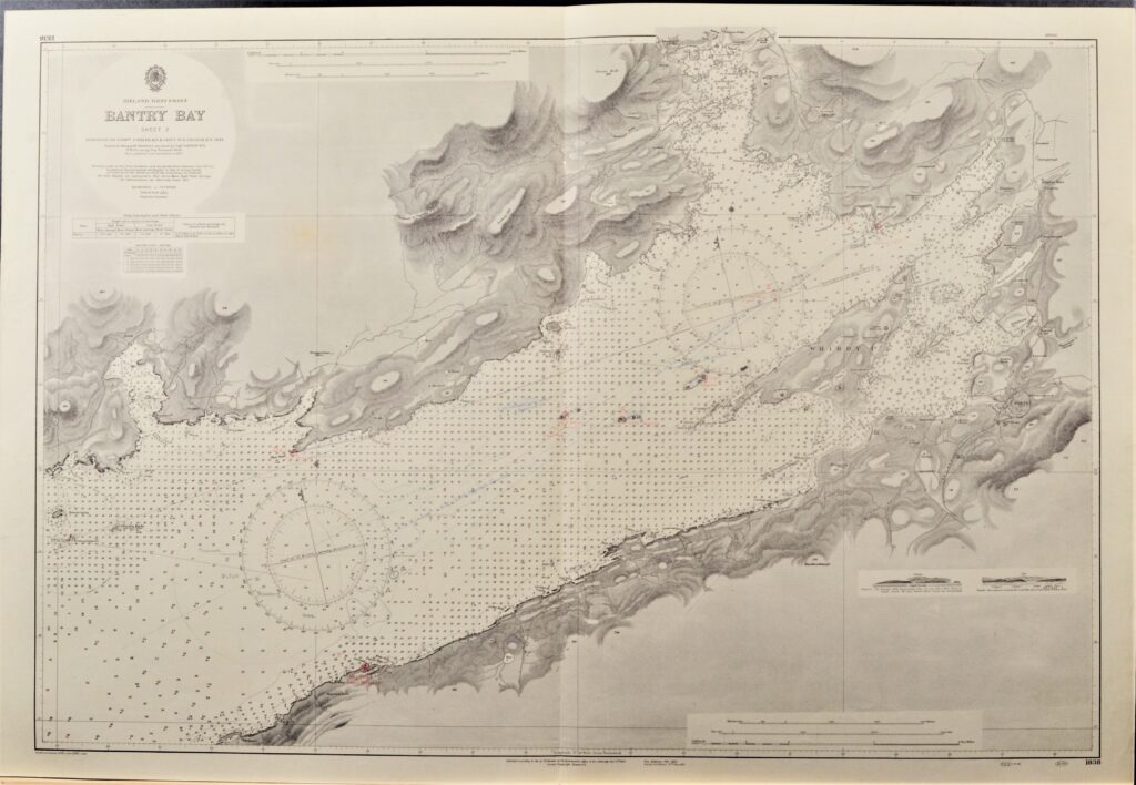
Read MoreBantry Bay, sheet 2 – West Coast Ireland British Admiralty Chart 1838, published in 1847
Impressive and detailed chart of the Bantry Bay in two sheets with land views and light lines. With tidal information. Authentic, very detailed sea chart, no modern copy. On thick paper, folded as issued, suitable for framing. Nice, fresh specimen. In our chartroom are to find hundreds of British Admiralty sea charts. Fathom charts, issued…
Read MoreIreland – East Coast British Admiralty Chart 1824b, published in 1862
Detailed and early chart of the East coast of Ireland with decca inprint. The first surveys are from 1844 -1861, made by Captains Frazer and bedford. With tidal information. Authentic, very detailed sea chart, no modern copy. On thick paper, folded as issued, suitable for framing. Nice, fresh specimen. In our chartroom are to find…
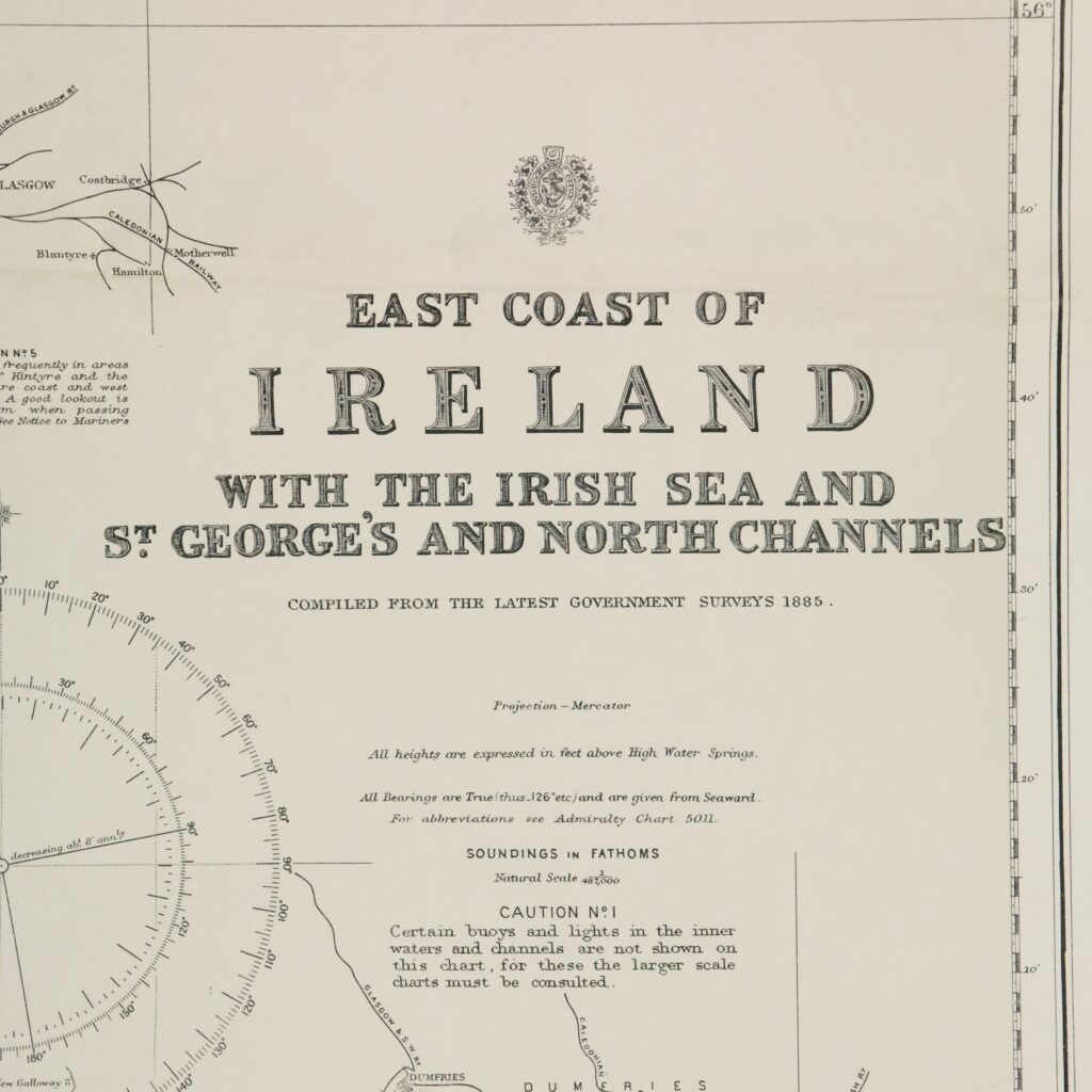
Read MoreIreland – East Coast British Admiralty Chart 1824a, published in 1886
Detailed and early chart of the West coast of Ireland. The first surveys are from 1885. With tidal information. Authentic, very detailed sea chart, no modern copy. On thick paper, folded as issued, suitable for framing. Nice, fresh specimen. In our chartroom are to find hundreds of British Admiralty sea charts. Fathom charts, issued before…
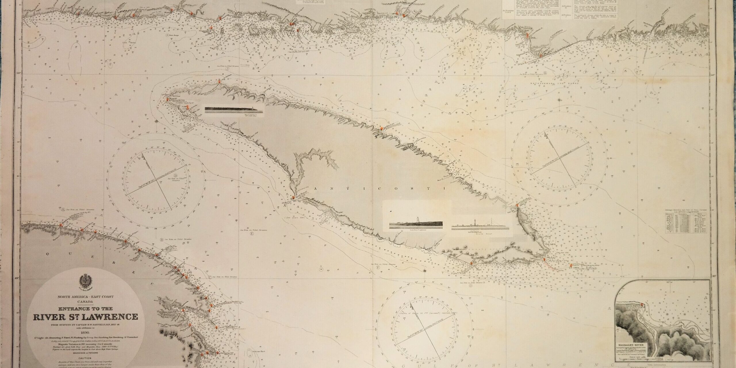
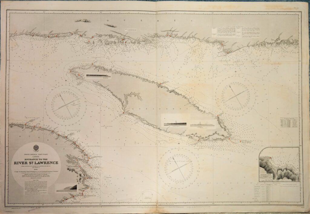
Read MoreRiver St. Lawrence – Canada, East Coast British Admiralty Chart 1621, published in 1891
Detailed and early chart of the entrance of the St. Lawrence river with nice land views. The first surveys are from 1832 and 1846 by Captain H.W. Bayfield. With tidal information. Authentic, very detailed sea chart, no modern copy. On thick paper, folded as issued, suitable for framing. Nice, fresh specimen. In our chartroom are…
Read More